Basin Creek
- 5.5 mi
- round trip
- 2,275 ft
- climb
- 8,995 ft
- high point
- Out and back
- route
Caution at last check
Agency alerts are in effect for this area; weather is marginal · USFS, OpenWeather · checked 12 h ago
Is BASIN CREEK open right now?
Closure in the area
There's a closure order in Beaverhead-Deerlodge National Forest. It doesn't name BASIN CREEK, so check the source for the area it covers (2 listed).
Annual Food Storage Order
Agency closure covering Beaverhead-Deerlodge National Forest · Order 02-00-22-02 · USFS · Beaverhead-Deerlodge National Forest
Pallet Prohibition Order Butte Ranger District
Agency closure covering Beaverhead-Deerlodge National Forest · Order 01020425-01 · USFS · Beaverhead-Deerlodge National Forest
Lost Creek Area - Road Closure
Agency alert covering Beaverhead-Deerlodge National Forest · USFS · Beaverhead-Deerlodge National Forest
Montana BDR Alternative Route
Agency alert covering Beaverhead-Deerlodge National Forest · USFS · Beaverhead-Deerlodge National Forest
Lost Creek Area - Road Closure
Agency alert covering Beaverhead-Deerlodge National Forest · Order 01020826-02 · USFS · Beaverhead-Deerlodge National Forest
As of · Source: USFS · Beaverhead-Deerlodge National Forest. Agencies don't list every closure — check before you go.
Basin Creek is a hard out-and-back hike in Montana's Beaverhead-Deerlodge National Forest, on the Madison Ranger District. It starts at about 6,916 feet and climbs to a high point of 8,995 feet, with a total gain of 2,275 feet over a 10.9-mile round trip. The steepest stretch comes at mile 3.8, where the grade reaches about 18%, and the climb is front-loaded, so the hardest going is early in the route. The trip takes about five hours. Plan for a full day on the trail, and expect it to be a serious challenge, rated hard. The Forest Service manages the surrounding national forest land. Several other hikes lie close by. Coal Creek is about 1.5 miles away, and Poison Creek is about 2.4 miles off. West Fork Ruby Creek and Corral Creek are both within about 4 miles. For an overnight stay, West Fork Cabin (s of Ennis) is roughly 6.4 miles away.
- COAL CREEKHiking1.5 mi
- POISON CREEKHiking2.4 mi
- WEST FORK RUBY CREEKHiking3.3 mi
- CORRAL CREEKHiking3.7 mi
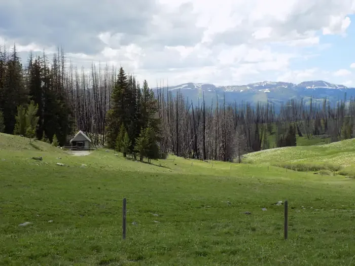 West Fork Cabin (s of Ennis)CampingPhoto: Recreation.gov (RIDB) / public domain6.4 mi
 Notch CabinCampingPhoto: Recreation.gov (RIDB) / public domain7.2 mi
- Vig/Brunt Creek/Cottonwood Road Rest AreasCamping7.9 mi
- Cottonwood CampgroundCamping7.9 mi
Source: Roamze catalog (indexable pages within 10 miles, PostGIS distance)
- COAL CREEKHiking · ~3 min drive
- POISON CREEKHiking · ~4 min drive
- WEST FORK RUBY CREEKHiking · ~6 min drive
- FISH CREEK RIDGEHiking · ~9 min drive
- BARNETT TRAILHiking · ~11 min drive
- HORSE CREEKHiking · ~17 min drive
- DIVIDE CREEKHiking · ~9 min drive
- REBISH CUTOFFHiking · ~12 min drive
- BEAR CREEK RUBYHiking · ~12 min drive
- FREEZEOUT MOUNTAINHiking · ~21 min drive

