Bare Cone
- 6.4 mi
- round trip
- 5,044 ft
- climb
- 7,811 ft
- high point
- Out and back
- route
Is Bare Cone open right now?
Alert in the area
The Forest Service lists 4 alerts for Bitterroot National Forest.
Pile burning on West Fork Ranger and Darby-Sula Districts Nov. 9 to 12
Agency alert covering Bitterroot National Forest · USFS · Bitterroot National Forest
Pile burning on West Fork Ranger District end of October
Agency alert covering West Fork Ranger District · USFS · West Fork Ranger District
Pile burning on West Fork Ranger District Oct. 26
Agency alert covering West Fork Ranger District · USFS · West Fork Ranger District
Two Prescribed Burns Planned for the week of Oct. 5 - Piquett Creek & Cameron Gap
Agency alert covering Bitterroot National Forest · USFS · Bitterroot National Forest
As of · Source: USFS · Bitterroot National Forest. Agencies don't list every closure — check before you go.
Bare Cone is a hard hike in the West Fork Ranger District of Montana's Bitterroot National Forest, about 6.4 miles long and rising from 5,031 feet to 7,811 feet. The trail is an out-and-back, and the climb is steep, with a total elevation gain of about 5,044 feet. The Forest Service manages the land, and the route is a natural-surface trail. Fales Flat Campground sits less than a mile away, and the Nez Perce Indian Trail-Fales and Sheephead Creek hikes are each about 0.9 miles off, making it easy to pair Bare Cone with another outing in the area. For a longer stay, Rombo and Slate Creek Campground are both within about 8 miles.
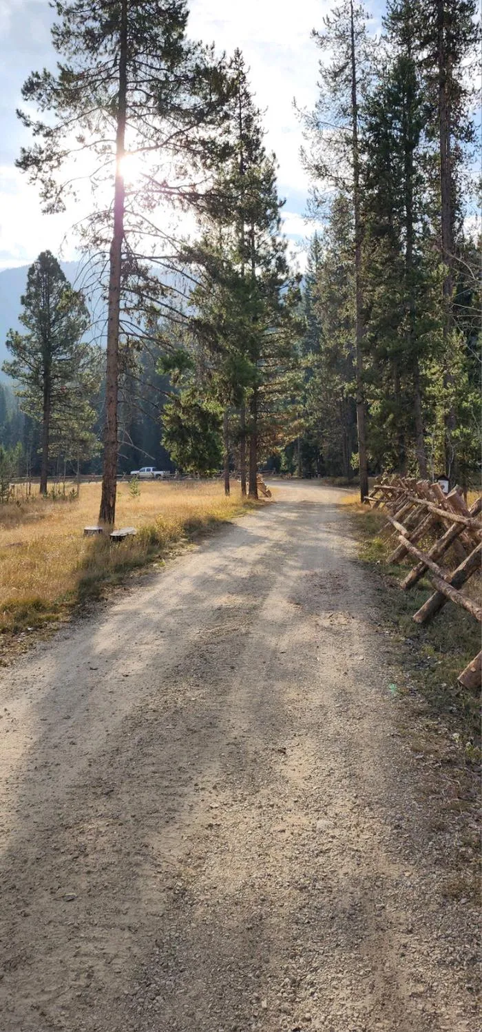 Fales Flat CampgroundCampingPhoto: Recreation.gov (RIDB) / public domain0.7 mi
- Nez Perce Indian Trail-FalesHiking0.9 mi
- Sheephead CreekHiking0.9 mi
- WatchtowerHiking3.4 mi
- Castle RockHiking3.5 mi
- Nez Perce ForkCanoeing3.9 mi
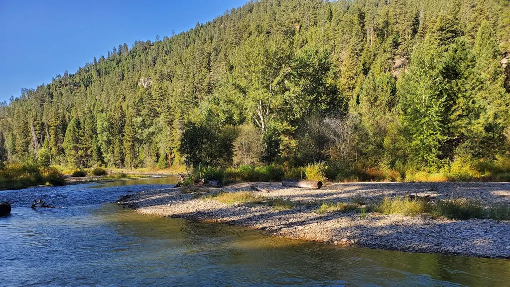 RomboCampingPhoto: Recreation.gov (RIDB) / public domain7.3 mi
- Slate Creek CampgroundCamping7.8 mi
Source: Roamze catalog (indexable pages within 10 miles, PostGIS distance)
- Sheephead CreekHiking · ~2 min drive
- Castle RockHiking · ~6 min drive
- Divide SouthHiking · ~7 min drive
- Soda SpringsHiking · ~8 min drive
- Nez Perce Indian Trail-FalesHiking · ~2 min drive
- TOOK CREEKHiking · ~7 min drive
- TOOK CREEKHiking · ~9 min drive
- WatchtowerHiking · ~6 min drive
- MUD CREEKHiking · ~9 min drive
- Soda Springs CreekHiking · ~9 min drive
Route details
- Distance
- 6.4 mi round trip
- Climbing
- About 5,044 ft
- Starts at
- WATCHTOWER CREEK TRAILHEAD (about 5,052 ft)
- Summit
- 7,824 ft
- Difficulty
- Hard
- Time
- About 4.5 hours
Getting there
Park at WATCHTOWER CREEK TRAILHEAD.
Questions about this route
How long is the Bare Cone on Bare Cone?
About 6.4 mi round trip from WATCHTOWER CREEK TRAILHEAD (about 5,052 ft).
How much elevation gain is on the Bare Cone?
About 5,044 ft of climbing round trip.
How hard is the Bare Cone?
It is rated hard.
Where does the Bare Cone start?
WATCHTOWER CREEK TRAILHEAD (about 5,052 ft).
How long does the Bare Cone take?
About 4.5 hours round trip.
Conditions and forecast on Bare Cone
Daily highs and lows, wind and the chance of precipitation at the summit and route start for the next 7 days, from the Open-Meteo model.
