Mud Creek
- 1.0 mi
- round trip
- 1,110 ft
- climb
- 5,883 ft
- high point
- Out and back
- route
- Jul–Sep
- best months
Caution today
Agency alerts are in effect for this area; weather is good · USFS, OpenWeather · checked just now
Is MUD CREEK open right now?
Alert in the area
The Forest Service lists 4 alerts for Bitterroot National Forest.
Pile burning on West Fork Ranger, Darby-Sula & Stevi Nov. 16 to 19
Agency alert covering Bitterroot National Forest · USFS · Bitterroot National Forest
Pile burning on West Fork Ranger District end of October
Agency alert covering West Fork Ranger District · USFS · West Fork Ranger District
Pile burning on West Fork Ranger District Oct. 26
Agency alert covering West Fork Ranger District · USFS · West Fork Ranger District
Two Prescribed Burns Planned for the week of Oct. 5 - Piquett Creek & Cameron Gap
Agency alert covering Bitterroot National Forest · USFS · Bitterroot National Forest
As of · Source: USFS · Bitterroot National Forest. Agencies don't list every closure — check before you go.
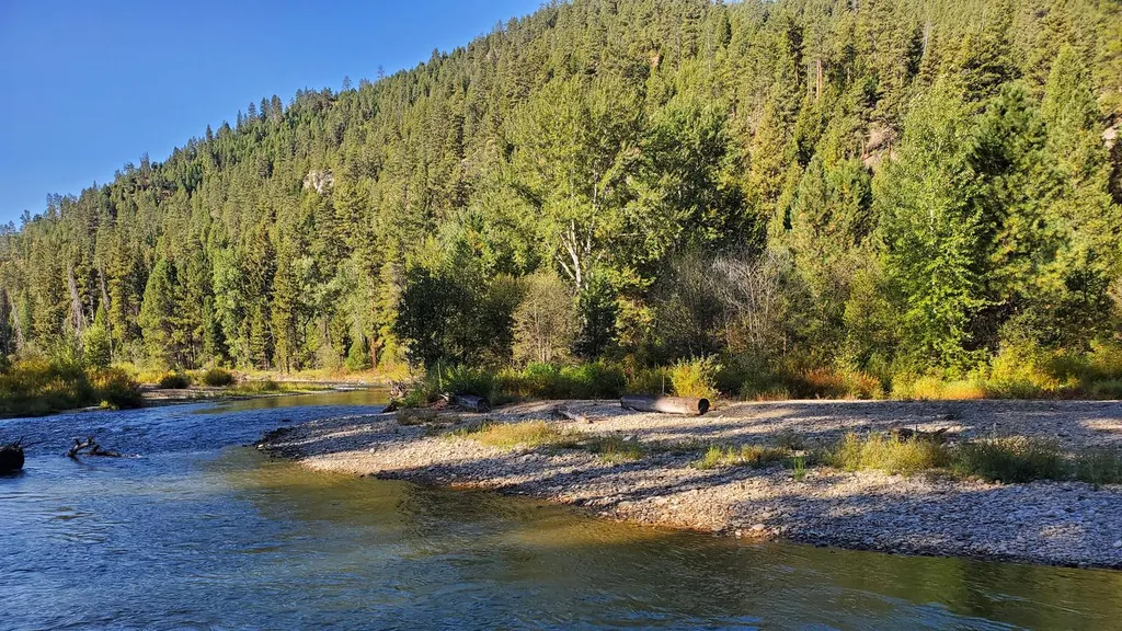
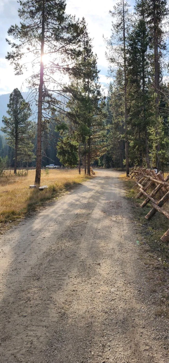
Mud Creek is a moderate out-and-back hike in the West Fork Ranger District of Montana's Bitterroot National Forest. The trail is about a mile long and crosses a rise of roughly 1,100 feet, with the high point at 5,883 feet and the start and end at the same elevation. It is a short trip that fits easily into a day of exploring the surrounding area. The climb is steady, and the steepest part comes early, around 0.26 miles from the start, with a grade of about 12 percent. The trail is managed by the Forest Service, and the trip takes about an hour to complete. Summer is the most comfortable time to go. Typical averages from a nearby weather station show July highs around 82°F with lows near 43°F, though that station sits about 1,400 feet lower than the trail, so temperatures on the route run cooler. September stays mild with highs around 73°F. The Took Creek and Took Mud Ridge hikes both start within a mile, and Slate Creek Campground is about 3 miles away for an overnight stay. Paddlers can find the Nez Perce Fork canoeing spot about 3 miles off.
- TOOK CREEKHiking0.8 mi
- TOOK MUD RIDGEHiking0.9 mi
- Bonnie BlueMountain biking1.8 mi
- Slate Creek CampgroundCamping3 mi
- Slate Creek Campground - Back LoopCamping3 mi
- Nez Perce ForkCanoeing3.1 mi
 RomboCampingPhoto: Recreation.gov (RIDB) / public domain3.1 mi
 Fales Flat CampgroundCampingPhoto: Recreation.gov (RIDB) / public domain5.9 mi
Source: Roamze catalog (indexable pages within 10 miles, PostGIS distance)
- MUD CREEKHiking · ~1 min drive
- TOOK CREEKHiking · ~1 min drive
- TOOK MUD RIDGEHiking · ~2 min drive
- Mud CreekHiking · ~2 min drive
- TOOK CREEKHiking · ~3 min drive
- TOOK-MUD RIDGEHiking · ~2 min drive
- Took CreekHiking · ~2 min drive
- TOOK CREEKHiking · ~3 min drive
- TOOK CREEKHiking · ~2 min drive
- Little BoulderHiking · ~6 min drive
Best time to visit MUD CREEK
Best months: July–September. Best months have typical highs of 55–85 °F, lows of 30 °F or warmer (32 °F where the station doesn't record snow), at most one snowy day and no more than 12 wet days.
Jan
34° / 13°
8 wet
Feb
39° / 14°
7 wet
Mar
48° / 22°
9 wet
Apr
55° / 27°
11 wet
May
64° / 33°
13 wet
Jun
72° / 40°
13 wet
Jul
82° / 43°
9 wet
Aug
81° / 40°
7 wet
Sep
73° / 34°
7 wet
Oct
58° / 27°
8 wet
Nov
43° / 20°
10 wet
Dec
33° / 12°
10 wet
Typical high / low (°F) and days with rain or snow, 1991–2020. Measured at Sula 3 Ene, MT, 20.8 mi away at 4,475 ft. The station sits about 1,400 ft lower than this place, so expect it a little cooler here. This station doesn't record snowfall. Source: NOAA NCEI U.S. Climate Normals 1991–2020.
