Bare Cone
- 7,824 ft
- summit
- 1
- way up
Is Bare Cone open right now?
Alert in the area
The Forest Service lists 4 alerts for Bitterroot National Forest.
Pile burning on West Fork Ranger, Darby-Sula & Stevi Nov. 16 to 19
Agency alert covering Bitterroot National Forest · USFS · Bitterroot National Forest
Pile burning on West Fork Ranger District end of October
Agency alert covering West Fork Ranger District · USFS · West Fork Ranger District
Pile burning on West Fork Ranger District Oct. 26
Agency alert covering West Fork Ranger District · USFS · West Fork Ranger District
Two Prescribed Burns Planned for the week of Oct. 5 - Piquett Creek & Cameron Gap
Agency alert covering Bitterroot National Forest · USFS · Bitterroot National Forest
As of · Source: USFS · Bitterroot National Forest. Agencies don't list every closure — check before you go.
Bare Cone is a summit in the West Fork Ranger District of the Bitterroot National Forest in Montana, about 20 miles from the town of Conner. Several trails start close by, including Blue Joint about 1.6 miles away and Castle Rock about 2.2 miles away. Fales Flat Campground sits about 2.4 miles off, and the Nez Perce Fork, about 4.4 miles away, offers canoeing.
Conditions and forecast
Daily highs and lows, wind and the chance of precipitation at the summit and route start for the next 7 days, from the Open-Meteo model.
- Summit elevation
- 7,824 ft
Elevation from USGS 3D Elevation Program terrain data (about 10 m resolution).
Map © Mapbox © OpenStreetMap contributors Questions about Bare Cone
How tall is Bare Cone?
7,824 ft (2,385 m).
How many routes go to the summit of Bare Cone?
One: Bare Cone.
Where do the routes up Bare Cone start?
Bare Cone starts at WATCHTOWER CREEK TRAILHEAD (about 5,052 ft).
- Blue JointHiking1.6 mi
- Castle RockHiking2.2 mi
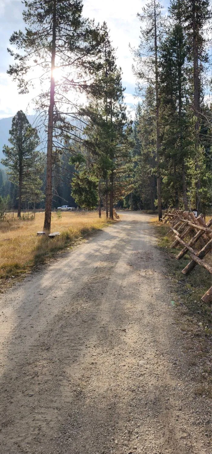 Fales Flat CampgroundCampingPhoto: Recreation.gov (RIDB) / public domain2.4 mi
- Nez Perce Indian Trail-FalesHiking2.5 mi
- Sheephead CreekHiking2.5 mi
- Nez Perce ForkCanoeing4.4 mi
- Slate Creek CampgroundCamping6.5 mi
- Slate Creek Campground - Back LoopCamping6.5 mi
Source: Roamze catalog (indexable pages within 10 miles, PostGIS distance)
 Como PeaksSummit · ~34 min drivePhoto: Forest Service Northern Region from Missoula, MT, USA, CC BY 3.0 (via Wikimedia Commons)
 El CapitanSummit · ~34 min drivePhoto: User:Magicpiano, CC BY-SA 4.0 (via Wikimedia Commons)
- Razorback MountainSummit · ~11 min drive
- Jew MountainSummit · ~16 min drive
- Boulder PointSummit · ~17 min drive
- Cooper PointSummit · ~18 min drive
- School PointSummit · ~18 min drive
- Piquett MountainSummit · ~18 min drive
- Cayuse MountainSummit · ~19 min drive
- Devils PointSummit · ~20 min drive
