Watchtower
- 17.8 mi
- round trip
- 3,153 ft
- climb
- 8,201 ft
- high point
- Out and back
- route
Is Watchtower open right now?
Alert in the area
The Forest Service lists 4 alerts for Bitterroot National Forest.
Pile burning on West Fork Ranger and Darby-Sula Districts Nov. 9 to 12
Agency alert covering Bitterroot National Forest · USFS · Bitterroot National Forest
Pile burning on West Fork Ranger District end of October
Agency alert covering West Fork Ranger District · USFS · West Fork Ranger District
Pile burning on West Fork Ranger District Oct. 26
Agency alert covering West Fork Ranger District · USFS · West Fork Ranger District
Two Prescribed Burns Planned for the week of Oct. 5 - Piquett Creek & Cameron Gap
Agency alert covering Bitterroot National Forest · USFS · Bitterroot National Forest
As of · Source: USFS · Bitterroot National Forest. Agencies don't list every closure — check before you go.
Watchtower is a hard hike in the Selway-Bitterroot Wilderness, part of the West Fork Ranger District of the Bitterroot National Forest in Montana. The route is an out-and-back of about 17.8 miles, with a total elevation gain of 3,153 feet. The trail starts at the Watchtower Creek trailhead, and the climb carries you from a low point of about 5,050 feet to a high point of 8,201 feet. The trail is a natural-surface route, and the Forest Service manages the land. Plan for a full day on foot, with time to rest and take in the high-country setting. Fales Flat Campground sits about 3 miles away, and the Nez Perce Indian Trail-Fales and Sheephead Creek hikes are also within 3 miles. Bare Cone is a little farther, at about 3.4 miles.
- Nez Perce Indian Trail-FalesHiking3 mi
- Sheephead CreekHiking3 mi
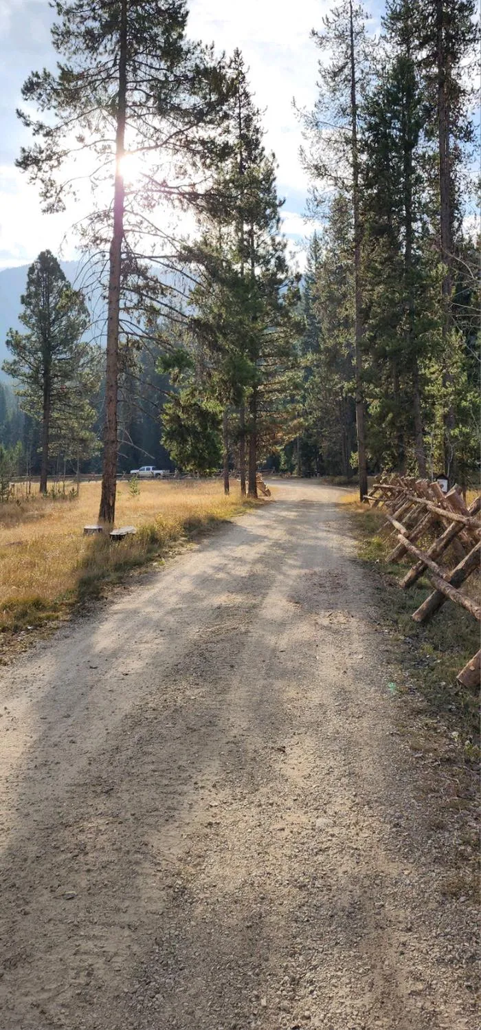 Fales Flat CampgroundCampingPhoto: Recreation.gov (RIDB) / public domain3 mi
- Bare ConeHiking3.4 mi
- Soda Springs CreekHiking4.6 mi
- Soda Spirngs CreekHiking4.7 mi
- Nez Perce ForkCanoeing5.1 mi
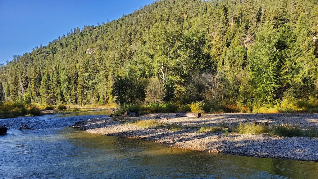 RomboCampingPhoto: Recreation.gov (RIDB) / public domain8.6 mi
Source: Roamze catalog (indexable pages within 10 miles, PostGIS distance)
- Sheephead CreekHiking · ~5 min drive
- Soda Springs CreekHiking · ~8 min drive
- Divide SouthHiking · ~9 min drive
- Halford-Soda SpirngsHiking · ~10 min drive
- Nez Perce Indian Trail-FalesHiking · ~5 min drive
- Soda Spirngs CreekHiking · ~8 min drive
- HALFORD/SODA SPINGS CREEKHiking · ~11 min drive
- Bare ConeHiking · ~6 min drive
- Soda SpringsHiking · ~8 min drive
- Castle RockHiking · ~11 min drive
