Andrews Creek
- 6.8 mi
- round trip
- 1,100 ft
- climb
- 7,786 ft
- high point
- Out and back
- route
Caution today
Agency alerts are in effect for this area; weather is good · USFS, OpenWeather · checked just now
Is Andrews Creek open right now?
Alert in the area
The Forest Service lists 2 alerts for Bitterroot National Forest.
Pile burning on West Fork Ranger, Darby-Sula & Stevi Nov. 16 to 19
Agency alert covering Bitterroot National Forest · USFS · Bitterroot National Forest
Two Prescribed Burns Planned for the week of Oct. 5 - Piquett Creek & Cameron Gap
Agency alert covering Bitterroot National Forest · USFS · Bitterroot National Forest
As of · Source: USFS · Bitterroot National Forest. Agencies don't list every closure — check before you go.
Andrews Creek is a hard hike in Montana's Bitterroot National Forest, within the Sula Ranger District. It is a natural-surface out-and-back route of about 6.8 miles, with an elevation gain of roughly 1,100 feet, from a low point of about 6,682 feet to a high of about 7,786 feet. The Forest Service manages the land, and the trail is listed as a Forest Service National Forest System trail with natural surface. Summer and early fall are the most comfortable times to go. Typical averages from a nearby weather station run to highs in the low 70s in August and the high 60s in September, with September also bringing the most precipitation of the year. Several other destinations sit within about 4 miles. Warm Springs Creek offers canoeing, and the Reimel Creek and Reimal Tolan Divide hikes are both close by. For an overnight base, Crazy Creek Campground and Warm Springs Campground are each about 3.6 miles away.
- Warm Springs CreekCanoeing3 mi
- REIMEL CREEKHiking3 mi
 Reimal Tolan DivideHikingPhoto: footloosiety, CC BY 2.0 (via Flickr)3.1 mi
- Fire CreekHiking3.3 mi
- Crazy Creek CampgroundCamping3.6 mi
- Warm Springs CampgroundCamping3.6 mi
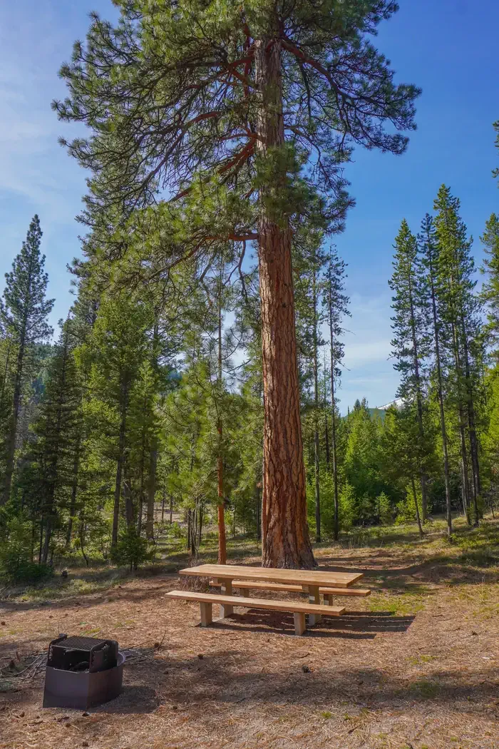 Indian Trees CampgroundCampingPhoto: Recreation.gov (RIDB) / public domain3.7 mi
- Twogood CabinCamping3.7 mi
Source: Roamze catalog (indexable pages within 10 miles, PostGIS distance)
- Reimel CreekHiking · ~6 min drivePhoto: footloosiety, CC BY 2.0 (via Flickr)
- REIMEL CREEKHiking · ~5 min drive
- BEAR CREEKHiking · ~7 min drive
- Shook Mountain-Medicine PointHiking · ~9 min drive
- Reimal Tolan DivideHiking · ~5 min drivePhoto: footloosiety, CC BY 2.0 (via Flickr)
- Porcupine SaddleHiking · ~7 min drive
- Tolan-Reimel RidgeHiking · ~8 min drive
- Fire CreekHiking · ~6 min drive
- MOON CREEKHiking · ~9 min drive
- LAIRD CREEKHiking · ~9 min drive
