Lindsey Mountain
- 1,657 ft
- summit
- 1
- way up
- Mar–Jun, Aug–Oct
- best months
Is Lindsey Mountain open right now?
Alert in the area
The Forest Service lists 10 alerts for Mark Twain National Forest.
Crane Lake Dam
Agency alert covering Mark Twain National Forest · USFS · Mark Twain National Forest
Delays on Forest Road 557
Agency alert covering Mark Twain National Forest · USFS · Mark Twain National Forest
Forest Order - Trail 119 Closure Extended (Chadwick Motorized Trail System)
Agency alert covering Mark Twain National Forest · USFS · Mark Twain National Forest
Weather Conditions
Agency alert covering Mark Twain National Forest · USFS · Mark Twain National Forest
Red Bridge Road - Bridge Closure
Agency alert covering Mark Twain National Forest · USFS · Mark Twain National Forest
As of · Source: USFS · Mark Twain National Forest. Agencies don't list every closure — check before you go.
Lindsey Mountain is a summit in Missouri's Bell Mountain Wilderness, part of the Potosi / Fredericktown Ranger District of Mark Twain National Forest. The nearest town is Caledonia, about 11 miles away. Fall is the most comfortable time to visit. Typical averages from the nearby Potosi weather station show October highs around 68°F and lows around 46°F. That station sits well below the summit, so temperatures up high run cooler. The closest route is Lindsey Mountain Trail, about 1.5 miles away. Bell Mountain and the Bell Mountain Connector are a little farther, and paddlers can reach the East Fork Black River about 3 miles off.
Conditions and forecast
Daily highs and lows, wind and the chance of precipitation at the summit and lindsey mountain trailhead for the next 7 days, from the Open-Meteo model.
- Summit elevation
- 1,657 ft
Elevation from USGS 3D Elevation Program terrain data (about 10 m resolution).
Map © Mapbox © OpenStreetMap contributors Questions about Lindsey Mountain
How tall is Lindsey Mountain?
1,657 ft (505 m).
How many routes go to the summit of Lindsey Mountain?
One: Lindsey Mountain Trail.
Where do the routes up Lindsey Mountain start?
Lindsey Mountain Trail starts at Lindsey Mountain Trailhead (about 1,516 ft).
When is the best time to climb Lindsey Mountain?
Year-round.
- Bell Mountain1,703 ft · Missouri2 routes1.2 mi away
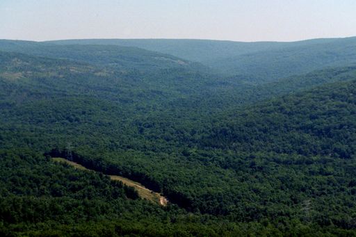 Taum Sauk Mountain1,771 ft · Missouri1 route7.3 mi awayPhoto: Kbh3rd, CC BY-SA 3.0 (via Wikimedia Commons)
- Pilot Knob1,496 ft · Missouri1 route12 mi away
- Mudlick Mountain1,312 ft · Missouri2 routes30 mi away
- Vick Hill765 ft · Illinois1 route85 mi away
- Iron Mountain709 ft · Illinois1 route85 mi away
- Lindsey Mountain TrailHiking1.5 mi
 Bell Mountain ConnectorHikingPhoto: cm195902, CC BY 2.0 (via Flickr)2.1 mi
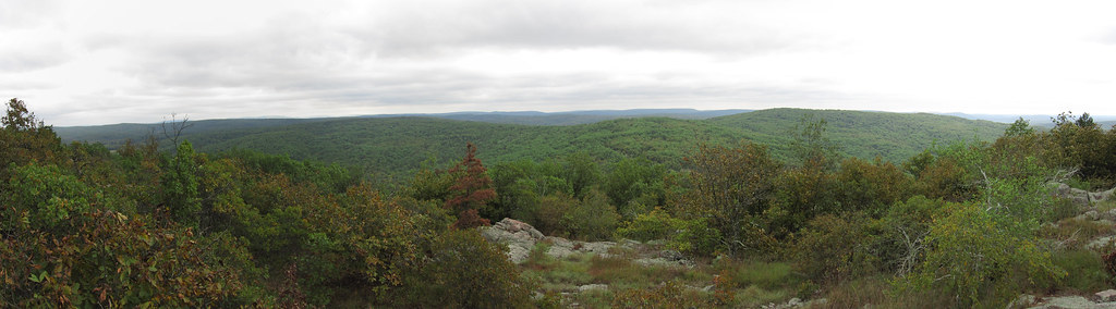 Bell MountainHikingPhoto: cm195902, CC BY 2.0 (via Flickr)2.4 mi
- East Fork Black RiverCanoeing3.3 mi
 EM: Johnson Shut-InsRock climbingPhoto: Kbh3rd, CC BY 4.0 (via Wikimedia Commons)5.1 mi
 Upper CliffRock climbingPhoto: Wikipedian Kbh3rd, CC BY-SA 3.0 (via Wikimedia Commons)5.2 mi
- Middle Fork Black RiverCanoeing7.3 mi
- Council Bluff (Wbr) CgCamping8.9 mi
Source: Roamze catalog (indexable pages within 10 miles, PostGIS distance)
- Taum Sauk MountainSummit · ~13 min drivePhoto: Kbh3rd, CC BY-SA 3.0 (via Wikimedia Commons)
 Russell MountainSummit · ~15 min drivePhoto: US Geologic Survey, Public domain (via Wikimedia Commons)
- Bell MountainSummit · ~2 min drive
- Pilot KnobSummit · ~21 min drive
- Green MountainSummit · ~49 min drive
- Mudlick MountainSummit · ~52 min drive
Best time to visit Lindsey Mountain
Best months: March–June and August–October. Best months have typical highs of 55–85 °F, lows of 30 °F or warmer (32 °F where the station doesn't record snow), at most one snowy day and no more than 12 wet days.
Jan
40° / 21°
8 wet
Feb
45° / 25°
8 wet
Mar
55° / 33°
10 wet
Apr
66° / 44°
11 wet
May
74° / 54°
12 wet
Jun
82° / 63°
10 wet
Jul
86° / 67°
9 wet
Aug
85° / 65°
8 wet
Sep
78° / 57°
7 wet
Oct
68° / 46°
9 wet
Nov
54° / 35°
8 wet
Dec
43° / 26°
8 wet
Typical high / low (°F) and days with rain or snow, 1991–2020. Measured at Potosi 4 Sw, MO, 19.5 mi away at 1,105 ft. The station sits about 600 ft lower than this place, so expect it a little cooler here. This station doesn't record snowfall. Source: NOAA NCEI U.S. Climate Normals 1991–2020.
