East Fork Black River
- 6.6 mi
- distance
- 1,061 ft
- high point
- Mar–Jun, Aug–Oct
- best months
Clear today
Weather is good · usgs_nwis, OpenWeather · checked just now
East Fork Black River is a canoeing route in Missouri, about 1.1 miles from the town of Munger. It is a paddling destination rather than a trail, so there is no climb to plan for, and the route is measured in miles rather than elevation gain. For comfortable paddling weather, aim for late spring or early fall. Typical averages from a nearby weather station show May highs around 74°F and September highs around 78°F, with September seeing the fewest wet days of the year at about seven. Several other outdoor spots sit within a few miles. The Scour Trail and the Campground Trail System are both hikes about 3 miles away, and the Black River Trail System is about 3.4 miles off. Climbers can head to the EM: Johnson Shut-Ins, roughly 3.5 miles away.
Local outfitters
- Two Rivers Canoe Rental38 mi away
- Windy's Floats43 mi away
Not on Roamze yet. Their page has how to reach them.
 Scour TrailHikingPhoto: CC BY-SA 3.0 (via Wikimedia Commons)2.7 mi
- Campground Trail SystemHikingPhoto: CC BY-SA 3.0 (via Wikimedia Commons)3.1 mi
- Lindsey Mountain TrailHiking3.4 mi
 Black River Trail SystemHikingPhoto: SymphonicPoet, CC BY 2.0 (via Flickr)3.4 mi
 EM: Johnson Shut-InsRock climbingPhoto: Kbh3rd, CC BY 4.0 (via Wikimedia Commons)3.5 mi
 Upper CliffRock climbingPhoto: Wikipedian Kbh3rd, CC BY-SA 3.0 (via Wikimedia Commons)3.6 mi
 A: Picnic AreaRock climbingPhoto: Fredlyfish4, CC BY-SA 3.0 (via Wikimedia Commons)7.9 mi
 Stouts CreekCanoeingPhoto: Adam Moss from Macomb, IL, United States, CC BY-SA 2.0 (via Wikimedia Commons)8.1 mi
Source: Roamze catalog (indexable pages within 10 miles, PostGIS distance)
- Stouts CreekCanoeing · ~14 min drivePhoto: Adam Moss from Macomb, IL, United States, CC BY-SA 2.0 (via Wikimedia Commons)
- Park's BluffBoat launch · ~17 min drive
 Saint Francis RiverCanoeing · ~45 min drivePhoto: NOAA employee, Public domain (via Wikimedia Commons)
- Twin Rivers LandingBoat launch · ~17 min drive
- Cedar CreekCanoeing · ~17 min drive
- Enough Boat AccessBoat launch · ~18 min drive
- Big RiverCanoeing · ~23 min drive
- SmileyBoat launch · ~22 min drive
- Sinking CreekCanoeing · ~33 min drive
- Centerville AccessBoat launch · ~22 min drive
Also worth it near here
- Scour TrailHiking · ~5 min drivePhoto: CC BY-SA 3.0 (via Wikimedia Commons)
- EM: Johnson Shut-InsRock climbing · ~6 min drivePhoto: Kbh3rd, CC BY 4.0 (via Wikimedia Commons)
- Mina Sauk FallsWaterfall · ~6 min drive
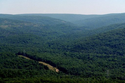 Taum Sauk MountainSummit · ~7 min drivePhoto: Kbh3rd, CC BY-SA 3.0 (via Wikimedia Commons)
Best time to visit East Fork Black River
Best months: March–June and August–October. Best months have typical highs of 55–85 °F, lows of 30 °F or warmer (32 °F where the station doesn't record snow), at most one snowy day and no more than 12 wet days.
Jan
40° / 21°
8 wet
Feb
45° / 25°
8 wet
Mar
55° / 33°
10 wet
Apr
66° / 44°
11 wet
May
74° / 54°
12 wet
Jun
82° / 63°
10 wet
Jul
86° / 67°
9 wet
Aug
85° / 65°
8 wet
Sep
78° / 57°
7 wet
Oct
68° / 46°
9 wet
Nov
54° / 35°
8 wet
Dec
43° / 26°
8 wet
Typical high / low (°F) and days with rain or snow, 1991–2020. Measured at Potosi 4 Sw, MO, 21.6 mi away at 1,105 ft. This station doesn't record snowfall. Source: NOAA NCEI U.S. Climate Normals 1991–2020.
