Stockton State Park Water Trail
- Mar–Jun, Sep–Nov
- best months
Stockton State Park Water Trail is a canoeing route in Missouri, set within the Stockton Recreation Area, which the Army Corps of Engineers manages. It is a paddling water trail rather than a single route with a set distance or climb, so there is no one-way or round-trip figure to give. For comfortable paddling weather, aim for late spring or early fall. Typical averages from the nearby Stockton Dam weather station show May highs around 76°F and September highs around 82°F, with July and August peaking near 90°F. The trail sits close to several other outdoor spots. Lakeview Trail is just 0.2 miles away, and Nyblad Trail is about a mile off. Hawker Point, a lake fishing spot, is roughly 1.9 miles away, and Sortor's Bluff Trail is about 2.3 miles away.
- Lakeview TrailHiking0.2 mi
- Nyblad TrailHiking1 mi
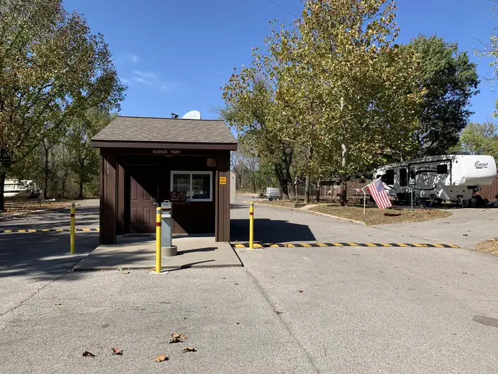 Hawker PointLake fishing1.9 mi
- Sortor's Bluff TrailHiking2.3 mi
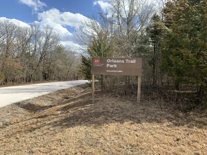 Orleans TrailLake fishing3.2 mi
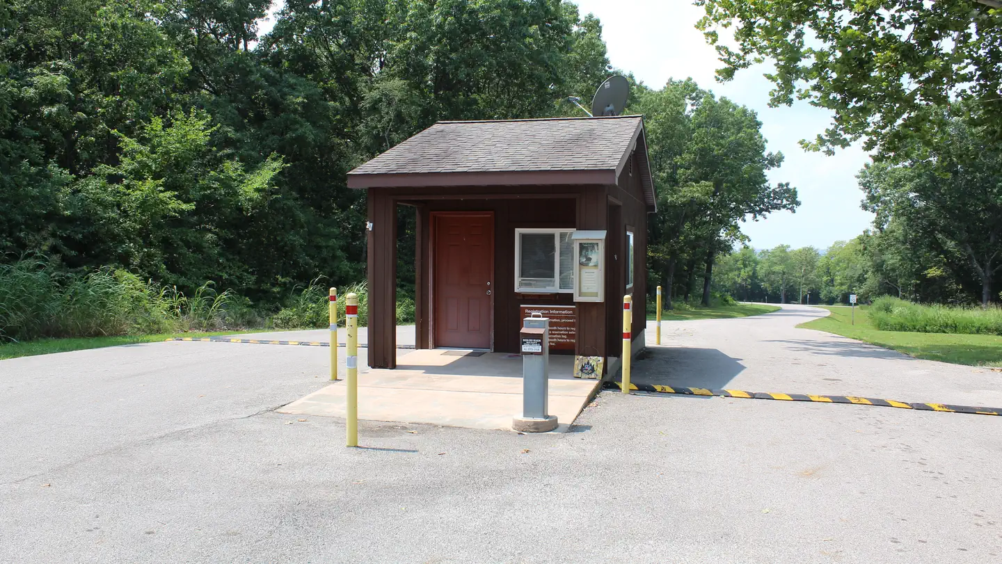 Crabtree CoveLake fishing3.4 mi
 MastersLake fishing3.9 mi
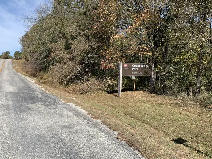 Cedar RidgeLake fishing4.9 mi
Source: Roamze catalog (indexable pages within 10 miles, PostGIS distance)
 Pomme de Terre RiverCanoeing · ~1h 17m drivePhoto: Public domain (via Wikimedia Commons)
- Sunset Park AccessBoat launch · ~43 min drive
- Cedar CreekCanoeing · ~17 min drive
- Big John AccessBoat launch · ~1h 7m drive
- Horse CreekCanoeing · ~24 min drive
- Chaity AccessBoat launch · ~1h 13m drive
- Brush CreekCanoeing · ~27 min drive
- Williams Ford AccessBoat launch · ~1h 15m drive
- Alder CreekCanoeing · ~30 min drive
- Fort NianguaBoat launch · ~1h 22m drive
Best time to visit Stockton State Park Water Trail
Best months: March–June and September–November. Best months have typical highs of 55–85 °F, lows of 30 °F or warmer (32 °F where the station doesn't record snow), at most one snowy day and no more than 12 wet days.
Jan
43° / 23°
7 wet · 1 snow
Feb
48° / 27°
7 wet · 1 snow
Mar
58° / 35°
9 wet
Apr
68° / 45°
11 wet
May
76° / 56°
12 wet
Jun
85° / 66°
11 wet
Jul
90° / 70°
9 wet
Aug
90° / 68°
8 wet
Sep
82° / 60°
7 wet
Oct
71° / 48°
9 wet
Nov
58° / 37°
8 wet
Dec
47° / 28°
7 wet · 1 snow
Typical high / low (°F) and days with rain or snow, 1991–2020. Measured at Stockton Dam, MO, 5.4 mi away at 922 ft. Source: NOAA NCEI U.S. Climate Normals 1991–2020.
Map and trail data © OpenStreetMap contributors
