Cedar Creek
- 28.6 mi
- distance
- 997 ft
- high point
- Mar–Jun, Sep–Nov
- best months
Cedar Creek is a canoeing spot in Missouri, about 2.5 miles from the town of Wagoner. It is a paddling destination rather than a trail, so there is no climb to plan for, and the route is measured in miles of water rather than feet of elevation gain. For comfortable paddling weather, aim for late spring or early fall. Typical averages from the nearby Stockton Dam weather station show May highs around 76°F and September highs around 82°F, with July and August peaking near 90°F. Other paddling is close by at Horse Creek, about 5 miles away, and the Stockton State Park Water Trail, roughly 10 miles off. For time on land, Orleans Trail and Hawker Point offer lake fishing within about 8 miles.
- Horse CreekCanoeing4.9 mi
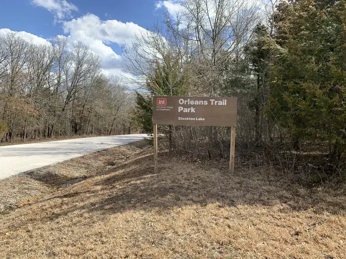 Orleans TrailLake fishing8.3 mi
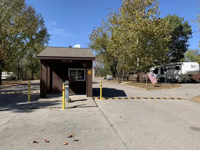 Hawker PointLake fishing8.4 mi
- Stockton State Park Water TrailCanoeing9.8 mi
- Sortor's Bluff TrailHiking9.9 mi
- Lakeview TrailHiking9.9 mi
Source: Roamze catalog (indexable pages within 10 miles, PostGIS distance)
- Horse CreekCanoeing · ~8 min drive
- Sunset Park AccessBoat launch · ~59 min drive
- Stockton State Park Water TrailCanoeing · ~17 min drive
- Stones Corner AccessBoat launch · ~1h 18m drive
- Alder CreekCanoeing · ~21 min drive
- Carl Junction AccessBoat launch · ~1h 23m drive
- Clear CreekCanoeing · ~27 min drive
- Big John AccessBoat launch · ~1h 23m drive
- North Fork Spring RiverCanoeing · ~35 min drive
- West Fork Clear CreekCanoeing · ~35 min drive
Best time to visit Cedar Creek
Best months: March–June and September–November. Best months have typical highs of 55–85 °F, lows of 30 °F or warmer (32 °F where the station doesn't record snow), at most one snowy day and no more than 12 wet days.
Jan
43° / 23°
7 wet · 1 snow
Feb
48° / 27°
7 wet · 1 snow
Mar
58° / 35°
9 wet
Apr
68° / 45°
11 wet
May
76° / 56°
12 wet
Jun
85° / 66°
11 wet
Jul
90° / 70°
9 wet
Aug
90° / 68°
8 wet
Sep
82° / 60°
7 wet
Oct
71° / 48°
9 wet
Nov
58° / 37°
8 wet
Dec
47° / 28°
7 wet · 1 snow
Typical high / low (°F) and days with rain or snow, 1991–2020. Measured at Stockton Dam, MO, 9.6 mi away at 922 ft. Source: NOAA NCEI U.S. Climate Normals 1991–2020.
