Big John Access
- Mar–Jun, Sep–Nov
- best months
Big John Access is a boat launch in Missouri, about 3 miles from the town of Buffalo. It serves as a put-in or take-out point for getting a boat onto the water in this part of the state. The most comfortable months to visit are typically spring and early fall. Typical averages from a nearby weather station in Buffalo show May highs around 76°F and September highs around 81°F. July is the warmest month, with highs near 89°F, while January highs average about 43°F with lows near 20°F. Paddlers looking for more water close by can head to the Niangua River, about 8 miles away. Lindley Creek, a little over 9 miles out, is another canoeing option in the area.
Source: Roamze catalog (indexable pages within 10 miles, PostGIS distance)
 Pomme de Terre RiverCanoeing · ~38 min drivePhoto: Public domain (via Wikimedia Commons)
- Williams Ford AccessBoat launch · ~10 min drive
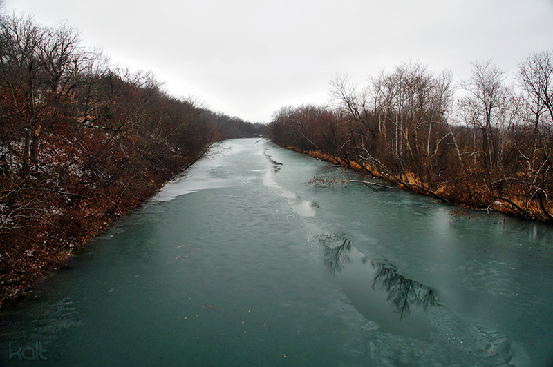 James RiverCanoeing · ~52 min drivePhoto: Cold417 The original uploader was Cold417 at English Wikipedia., CC BY-SA 3.0 (via Wikimedia Commons)
- Chaity AccessBoat launch · ~15 min drive
- Niangua RiverCanoeing · ~14 min drive
- Moon Valley AccessBoat launch · ~17 min drive
- Lindley CreekCanoeing · ~16 min drive
- Fort NianguaBoat launch · ~18 min drive
- Thomas CreekCanoeing · ~25 min drive
- Riverfront CampgroundBoat launch · ~19 min drive
Best time to visit Big John Access
Best months: March–June and September–November. Best months have typical highs of 55–85 °F, lows of 30 °F or warmer (32 °F where the station doesn't record snow), at most one snowy day and no more than 12 wet days.
Jan
43° / 20°
7 wet
Feb
48° / 24°
7 wet
Mar
58° / 33°
10 wet
Apr
68° / 42°
11 wet
May
76° / 52°
12 wet
Jun
84° / 61°
10 wet
Jul
89° / 66°
8 wet
Aug
88° / 64°
8 wet
Sep
81° / 55°
7 wet
Oct
70° / 43°
8 wet
Nov
57° / 33°
8 wet
Dec
46° / 24°
7 wet
Typical high / low (°F) and days with rain or snow, 1991–2020. Measured at Buffalo 2n, MO, 3.9 mi away at 1,071 ft. This station doesn't record snowfall. Source: NOAA NCEI U.S. Climate Normals 1991–2020.

Map and trail data © OpenStreetMap contributors
