Lakeview Trail
- 8.9 mi
- round trip
- 1,011 ft
- climb
- 967 ft
- high point
- Out and back
- route
- Mar–Jun, Sep–Nov
- best months
Lakeview Trail is an 8.9-mile moderate hike in Missouri's Stockton Recreation Area, managed by the Army Corps of Engineers. The trail is an out-and-back route that starts and ends at about 967 feet, with a high point of 967 feet and a low of 884 feet. The steepest stretch comes at about 6.9 miles, where the grade reaches 6 percent. Bikes are allowed on the trail, but horses are not. Spring and fall are the most comfortable times to go. Typical averages from the nearby Stockton Dam weather station show October highs around 71°F and May highs around 76°F, while July and August average about 90°F. The Stockton State Park Water Trail, a canoeing route, lies just 0.2 miles away. The Nyblad Trail is 0.8 miles off, and Hawker Point and Sortor's Bluff Trail are both within about 2 miles.
- Stockton State Park Water TrailCanoeing0.2 mi
- Nyblad TrailHiking0.8 mi
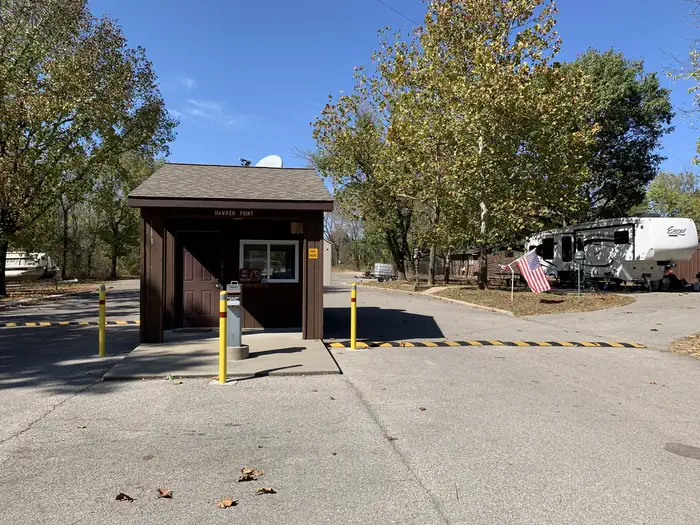 Hawker PointLake fishing1.9 mi
- Sortor's Bluff TrailHiking2.2 mi
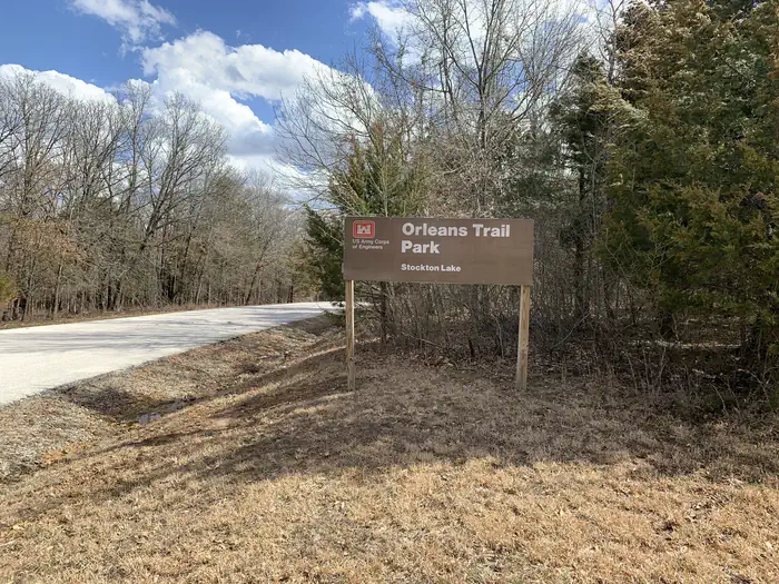 Orleans TrailLake fishing3.4 mi
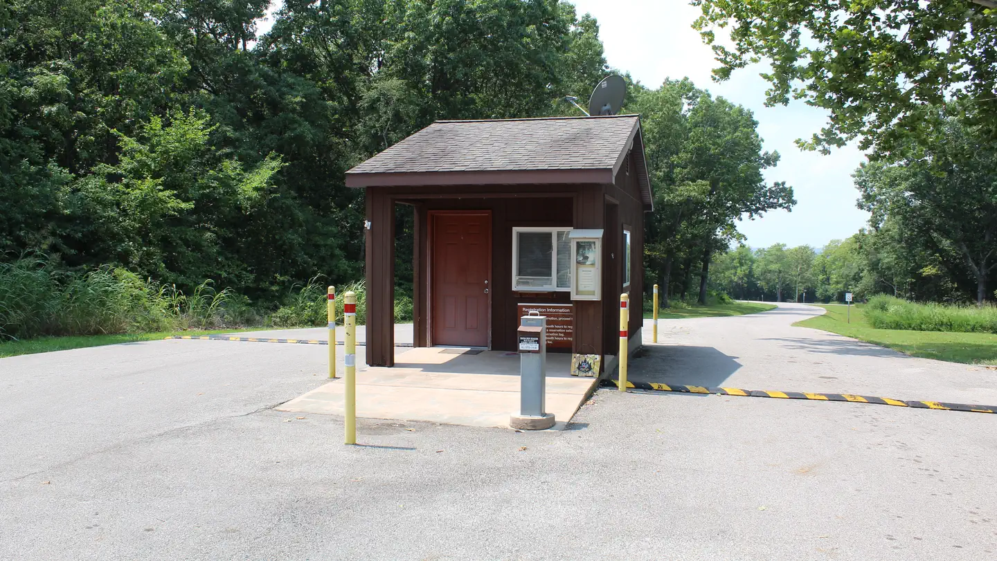 Crabtree CoveLake fishing3.5 mi
 MastersLake fishing3.8 mi
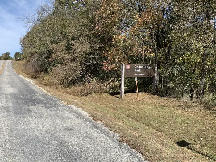 Cedar RidgeLake fishing4.8 mi
Source: Roamze catalog (indexable pages within 10 miles, PostGIS distance)
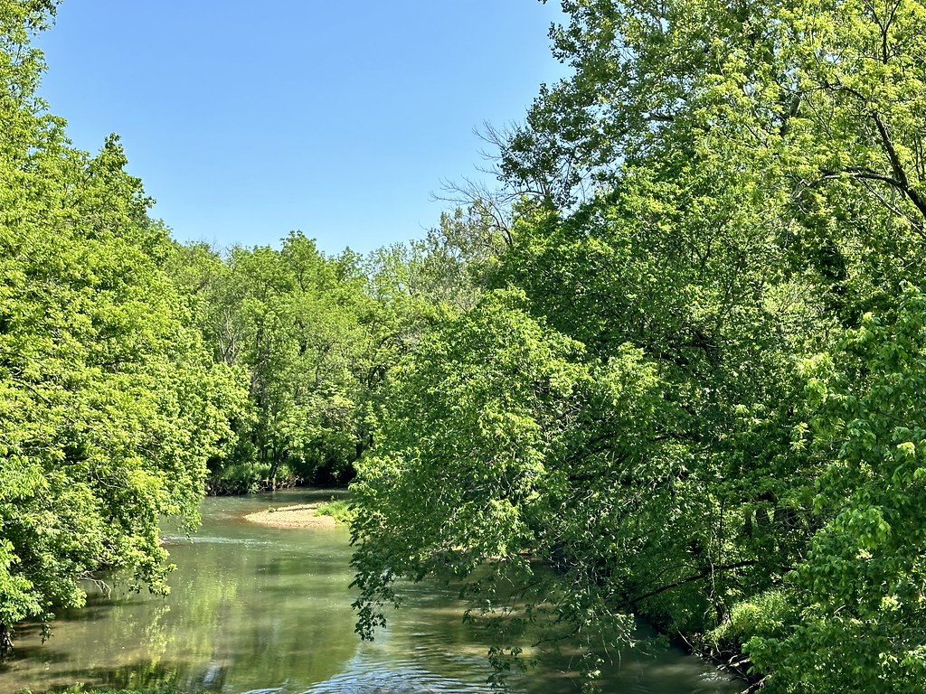 Gibson's Mill TrailHiking · ~1h 8m drivePhoto: SlapTheWorld, Public Domain Dedication (CC0) (via Flickr)
 Natural Tunnel TrailHiking · ~1h 25m drivePhoto: rjones0856, CC BY 2.0 (via Wikimedia Commons)
- Red TrailHiking · ~1h 21m drive
- Gibson's Mill Trail ExtensionHiking · ~1h 8m drivePhoto: SlapTheWorld, Public Domain Dedication (CC0) (via Flickr)
- Sortor's Bluff TrailHiking · ~4 min drive
 Bloody Hill Trail SpurHiking · ~1h 9m drivePhoto: SlapTheWorld, Public Domain Dedication (CC0) (via Flickr)
- Bloody Hill TrailHiking · ~1h 9m drivePhoto: SlapTheWorld, Public Domain Dedication (CC0) (via Flickr)
 Ray Cornfield TrailHiking · ~1h 9m drivePhoto: SlapTheWorld, Public Domain Dedication (CC0) (via Flickr)
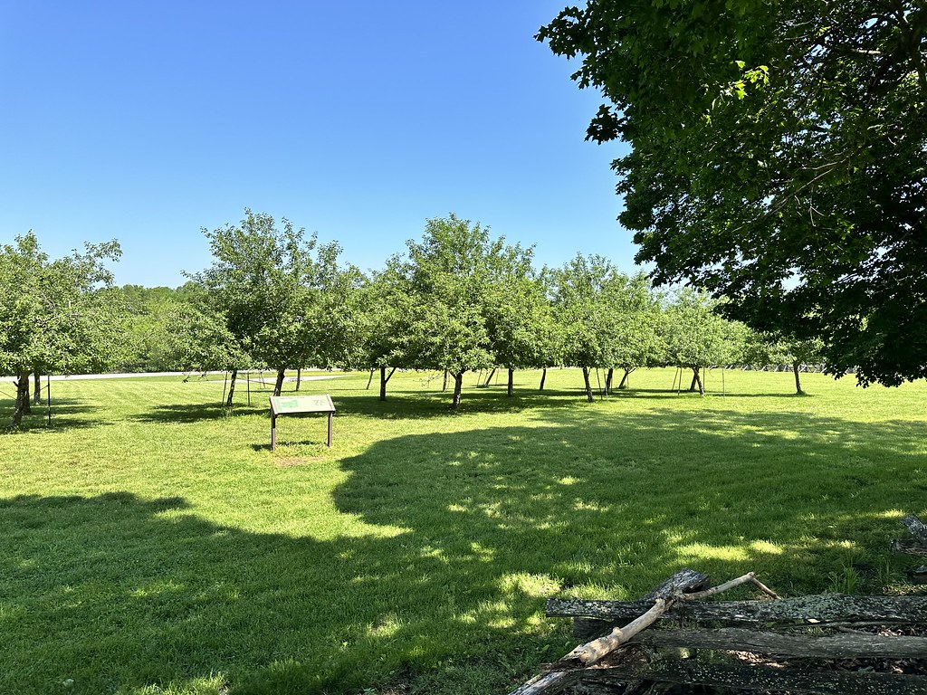 Manley Uplands TrailHiking · ~1h 9m drivePhoto: SlapTheWorld, Public Domain Dedication (CC0) (via Flickr)
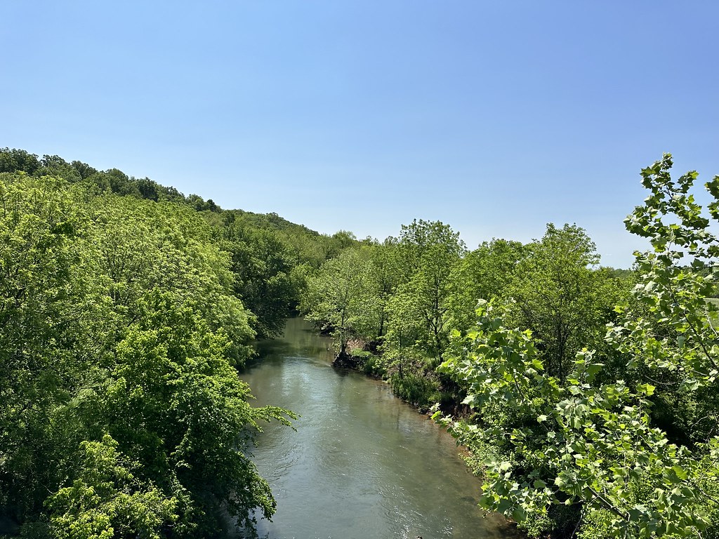 Southwest TrailHiking · ~1h 11m drivePhoto: SlapTheWorld, Public Domain Dedication (CC0) (via Flickr)
Best time to visit Lakeview Trail
Best months: March–June and September–November. Best months have typical highs of 55–85 °F, lows of 30 °F or warmer (32 °F where the station doesn't record snow), at most one snowy day and no more than 12 wet days.
Jan
43° / 23°
7 wet · 1 snow
Feb
48° / 27°
7 wet · 1 snow
Mar
58° / 35°
9 wet
Apr
68° / 45°
11 wet
May
76° / 56°
12 wet
Jun
85° / 66°
11 wet
Jul
90° / 70°
9 wet
Aug
90° / 68°
8 wet
Sep
82° / 60°
7 wet
Oct
71° / 48°
9 wet
Nov
58° / 37°
8 wet
Dec
47° / 28°
7 wet · 1 snow
Typical high / low (°F) and days with rain or snow, 1991–2020. Measured at Stockton Dam, MO, 5.5 mi away at 922 ft. Source: NOAA NCEI U.S. Climate Normals 1991–2020.
