Akers Lower
- Mar–Jun, Sep–Nov
- best months
Is Akers Lower open right now?
Closure in the area
There's a closure order in Ozark National Scenic Riverways. It doesn't name Akers Lower, so check the source for the area it covers.
Round Spring Pavilion Parking Area Closed
Park closure covering Ozark National Scenic Riverways · NPS · Ozark National Scenic Riverways
River Ferry at Akers (on State Highway K) CLOSED until further notice
Park alert covering Ozark National Scenic Riverways · NPS · Ozark National Scenic Riverways
As of · Source: NPS · Ozark National Scenic Riverways. Agencies don't list every closure — check before you go.
Akers Lower is a boat launch in Missouri's Ozark National Scenic Riverways, managed by the National Park Service. The nearest town is Summersville, about 15 miles away. Spring and fall are the most comfortable times to visit. Typical averages from a nearby weather station show April and October highs around 71°F, while July highs reach about 90°F. The launch sits close to several other spots. Akers, a river fishing area, is about a mile away, and Pulltite is roughly 5 miles off. The Current River, a canoeing route, is about 6 miles away, and the South Side climbing area is about 9 miles away.
- Managed by
- National Park Service
 AkersRiver fishing1.1 mi
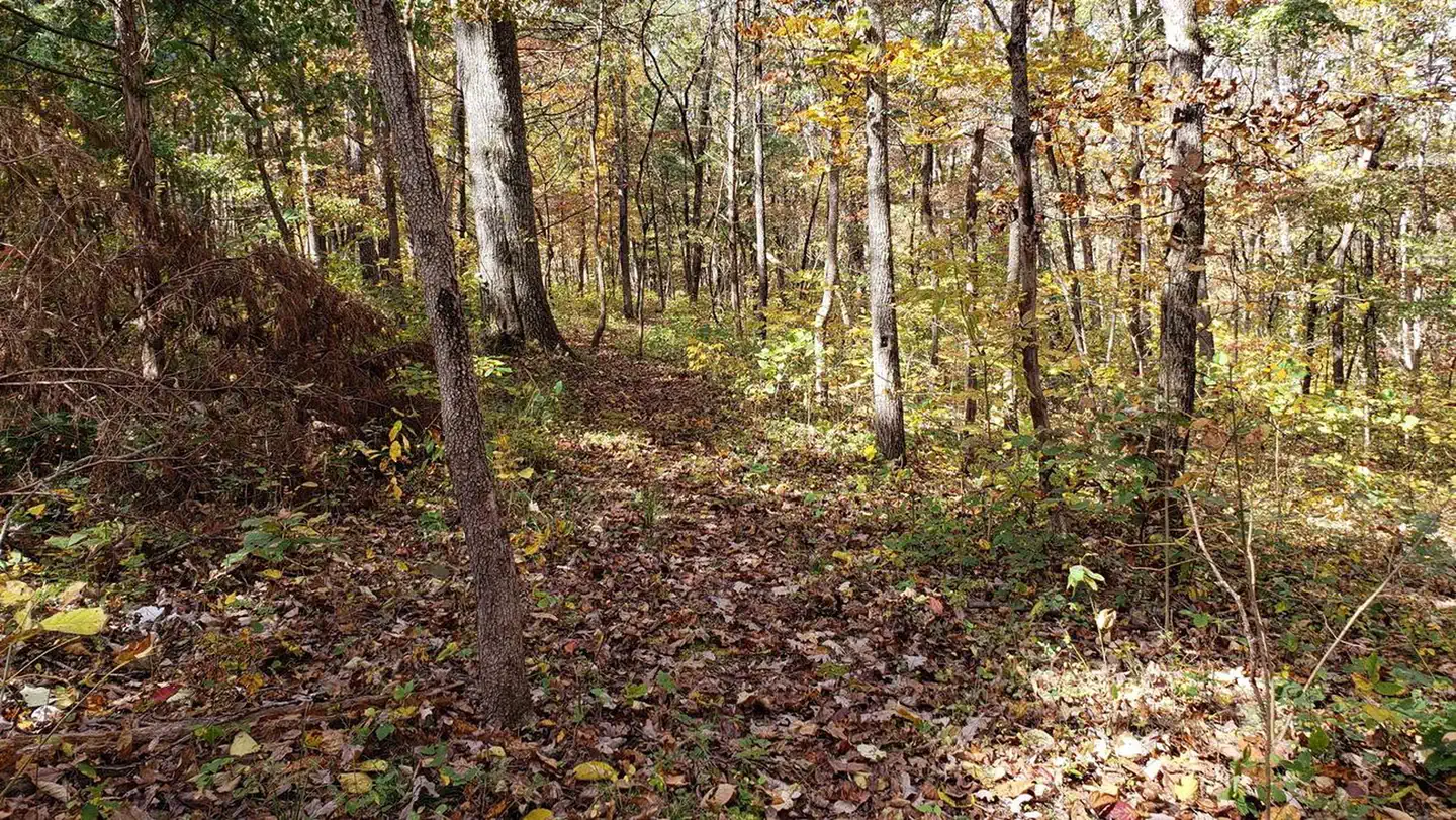 PulltiteRiver fishing4.7 mi
 Current RiverCanoeingPhoto: Michael Gäbler, CC BY 3.0 (via Wikimedia Commons)5.9 mi
- South SideRock climbing9 mi
Source: Roamze catalog (indexable pages within 10 miles, PostGIS distance)
- Current RiverCanoeing · ~10 min drivePhoto: Michael Gäbler, CC BY 3.0 (via Wikimedia Commons)
- Upper AkersBoat launch · Next door
- AkersTubing · ~2 min drive
 Jacks ForkCanoeing · ~33 min drivePhoto: jsigler, CC BY 2.0 (via Wikimedia Commons)
- Welch Landing AccessBoat launch · ~2 min drive
- PulltiteTubing · ~8 min drive
- Casto Valley CreekCanoeing · ~18 min drive
- Cedar GroveBoat launch · ~8 min drive
- Round SpringTubing · ~17 min drive
- Spring Valley CreekCanoeing · ~19 min drive
Best time to visit Akers Lower
Best months: March–June and September–November. Best months have typical highs of 55–85 °F, lows of 30 °F or warmer (32 °F where the station doesn't record snow), at most one snowy day and no more than 12 wet days.
Jan
45° / 20°
8 wet · 1 snow
Feb
50° / 23°
8 wet · 2 snow
Mar
60° / 32°
9 wet · 1 snow
Apr
71° / 40°
10 wet
May
78° / 51°
12 wet
Jun
85° / 60°
10 wet
Jul
90° / 65°
9 wet
Aug
88° / 63°
9 wet
Sep
81° / 54°
8 wet
Oct
71° / 41°
8 wet
Nov
59° / 32°
8 wet
Dec
47° / 24°
8 wet
Typical high / low (°F) and days with rain or snow, 1991–2020. Measured at Round Spring 2sw, MO, 10.5 mi away at 829 ft. Source: NOAA NCEI U.S. Climate Normals 1991–2020.
Map and trail data © OpenStreetMap contributors
