Upper Akers
About
Upper Akers is a boat launch in Missouri's Ozark National Scenic Riverways, managed by the National Park Service. The nearest town is Summersville, about 15 miles away. Spring and fall are the most comfortable times to visit. Typical averages from a nearby weather station show October highs around 71°F with lows near 41°F, and April is similar at about 71°F by day and 40°F at night. July is the warmest month, with highs near 90°F. The launch sits about a mile from the Akers river fishing spot, and Pulltite is roughly 5 miles away. Paddlers can head to the Current River, about 6 miles off, and climbers will find the South Side area about 9 miles away.
Launch Details
Managed by
National Park Service
Location
Hartshorn
Missouri
Data © OpenStreetMap contributors, available under the Open Database License (ODbL). View or edit on OpenStreetMap.
Facts about this place
When to go
Best time to go: Mar–Jun. The mildest months here, with typical highs of 60–85°F and lows of 32–60°F.
Typical monthly averages (not a forecast) from the Round Spring 2sw, MO weather station, 11 mi away. High / low in °F, and days with snow.
- Jan45° high20° low1 days with snow
- Feb50° high23° low2 days with snow
- Mar60° high32° low1 days with snow
- Apr71° high40° low
- May78° high51° low
- Jun85° high60° low
- Jul90° high65° low
- Aug88° high63° low
- Sep81° high54° low
- Oct71° high41° low
- Nov59° high32° low
- Dec47° high24° low
Where it is
- Ozark National Scenic Riverways · National Park Service
- Nearest town
- Summersville, Missouri · 15 mi
Source: NPS Land Resources boundaries; USGS GNIS populated places
Conditions
Active alerts for Ozark National Scenic Riverways as of Oct 9, 2026:
Round Spring Pavilion Parking Area Closed
Park Closure · posted Sep 25, 2026
River Ferry at Akers (on State Highway K) CLOSED until further notice
Caution · posted Aug 24, 2026
Reservations Required for All Campgrounds
Information · posted Aug 24, 2026
Paving Work Ongoing Throughout the Park
Information · posted Aug 24, 2026
Source: NPS Alerts API
Nearby
 AkersRiver fishing1 mi
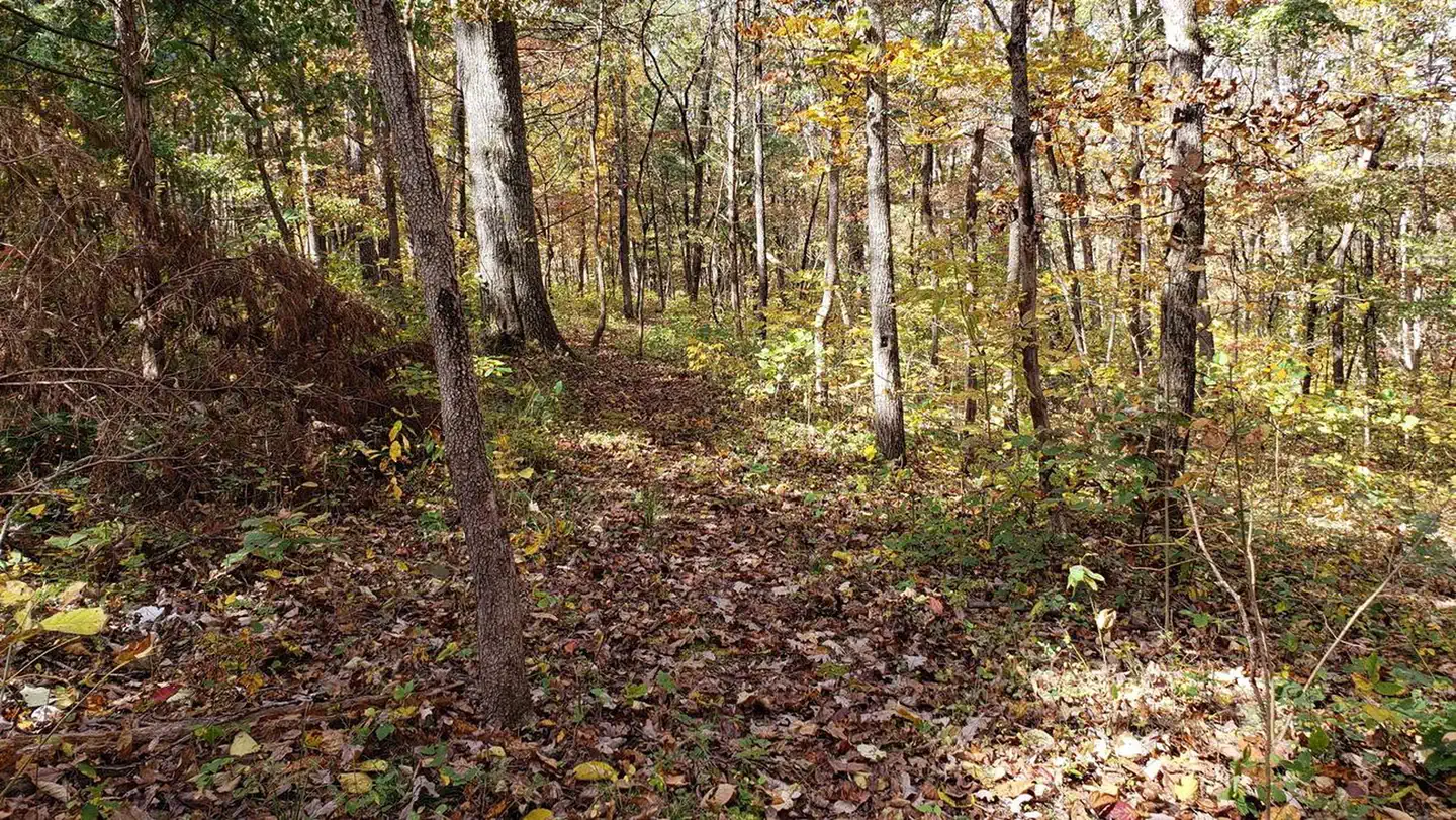 PulltiteRiver fishing4.8 mi
 Current RiverCanoeingPhoto: Michael Gäbler, CC BY 3.0 (via Wikimedia Commons)5.8 mi
- South SideRock climbing9.2 mi
Source: Roamze catalog (indexable pages within 10 miles, PostGIS distance)
Is Upper Akers open right now?
Closure in the area
There's a closure order in Ozark National Scenic Riverways. It doesn't name Upper Akers, so check the source for the area it covers.
Round Spring Pavilion Parking Area Closed
Park closure covering Ozark National Scenic Riverways · NPS · Ozark National Scenic Riverways
River Ferry at Akers (on State Highway K) CLOSED until further notice
Park alert covering Ozark National Scenic Riverways · NPS · Ozark National Scenic Riverways
As of · Source: NPS · Ozark National Scenic Riverways. Agencies don't list every closure — check before you go.
Best time to visit Upper Akers
Best months: March–June and September–November. Best months have typical highs of 55–85 °F, lows of 30 °F or warmer (32 °F where the station doesn't record snow), at most one snowy day and no more than 12 wet days.
Jan
45° / 20°
8 wet · 1 snow
Feb
50° / 23°
8 wet · 2 snow
Mar
60° / 32°
9 wet · 1 snow
Apr
71° / 40°
10 wet
May
78° / 51°
12 wet
Jun
85° / 60°
10 wet
Jul
90° / 65°
9 wet
Aug
88° / 63°
9 wet
Sep
81° / 54°
8 wet
Oct
71° / 41°
8 wet
Nov
59° / 32°
8 wet
Dec
47° / 24°
8 wet
Typical high / low (°F) and days with rain or snow, 1991–2020. Measured at Round Spring 2sw, MO, 10.6 mi away at 829 ft. Source: NOAA NCEI U.S. Climate Normals 1991–2020.
Map and trail data © OpenStreetMap contributors
