Spring Valley Creek
- 38.9 mi
- distance
- 1,261 ft
- high point
- Mar–Jun, Sep–Nov
- best months
Spring Valley Creek is a canoeing destination in Missouri, about 4.3 miles from the town of Ink. It makes an easy pairing with other water in the area, with Casto Valley Creek just 2.9 miles away. The most comfortable paddling weather comes in late spring and early fall. Typical averages from a nearby weather station in Summersville show May highs around 76°F and September highs around 80°F, while July highs climb to about 88°F and January highs sit near 43°F. For more time on the water, Alley Spring and the Jacks Fork, both about 7 miles away, offer river fishing. Round Spring, about 8.7 miles off, adds another fishing option.
Local outfitters
- Windy's Floats11 mi away
- Two Rivers Canoe Rental15 mi away
Not on Roamze yet. Their page has how to reach them.
- Casto Valley CreekCanoeing2.9 mi
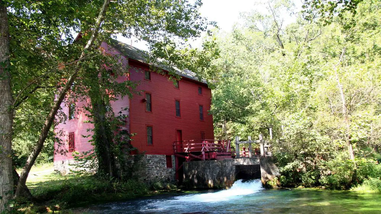 Alley SpringRiver fishing7 mi
- Jacks ForkRiver fishing7.2 mi
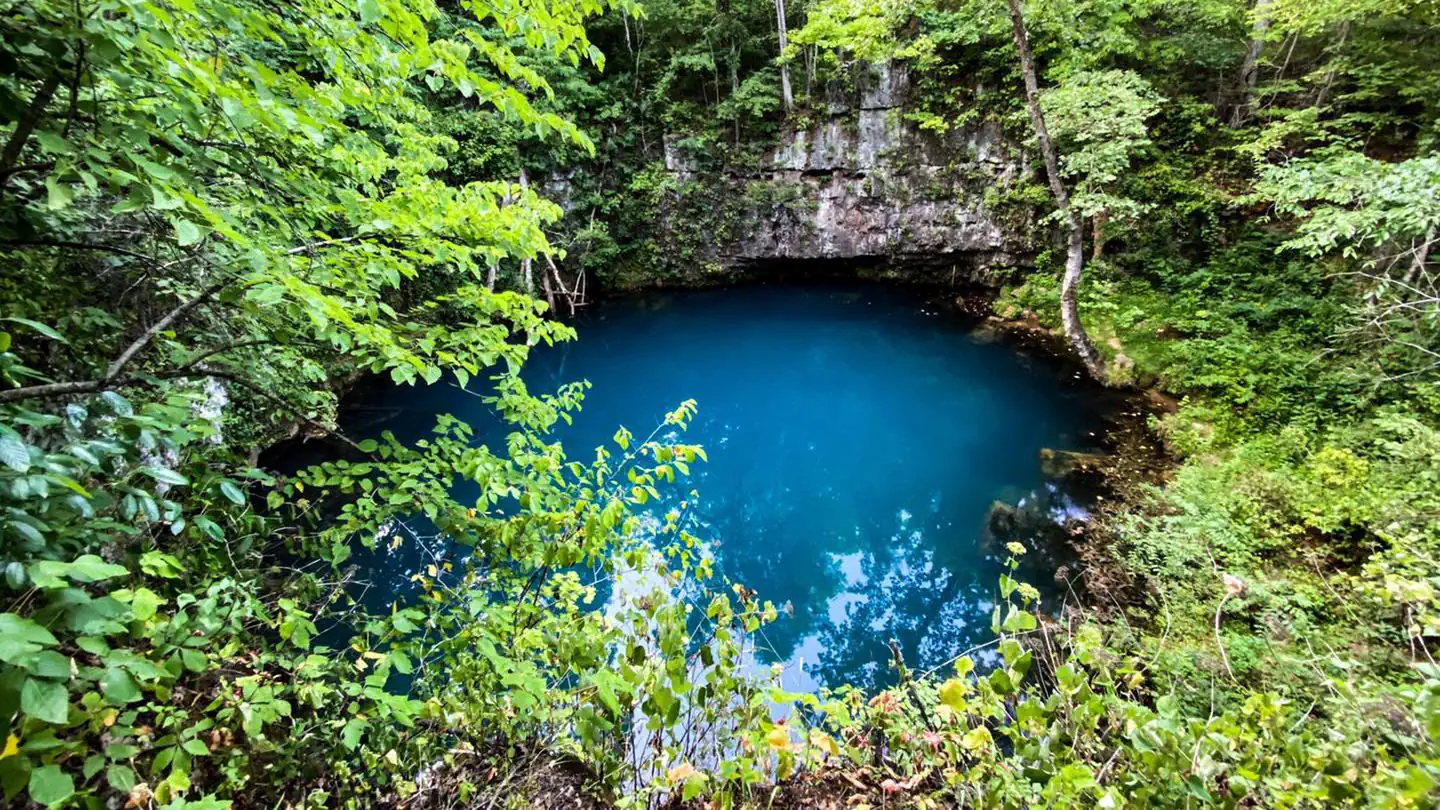 Round SpringRiver fishing8.7 mi
 PulltiteRiver fishing8.8 mi
Source: Roamze catalog (indexable pages within 10 miles, PostGIS distance)
 Jacks ForkCanoeing · ~15 min drivePhoto: jsigler, CC BY 2.0 (via Wikimedia Commons)
- Bay CreekBoat launch · ~12 min drive
- Alley SpringTubing · ~12 min drive
 Current RiverCanoeing · ~26 min drivePhoto: Michael Gäbler, CC BY 3.0 (via Wikimedia Commons)
- Alley Spring AccessBoat launch · ~12 min drive
- Round SpringTubing · ~15 min drive
- Casto Valley CreekCanoeing · ~5 min drive
- Burr Oak AccessBoat launch · ~13 min drive
- PulltiteTubing · ~15 min drive
- Mahans CreekCanoeing · ~20 min drive
Best time to visit Spring Valley Creek
Best months: March–June and September–November. Best months have typical highs of 55–85 °F, lows of 30 °F or warmer (32 °F where the station doesn't record snow), at most one snowy day and no more than 12 wet days.
Jan
43° / 23°
Feb
48° / 27°
Mar
57° / 35°
Apr
68° / 45°
May
76° / 55°
Jun
83° / 63°
Jul
88° / 67°
Aug
87° / 65°
Sep
80° / 57°
Oct
69° / 46°
Nov
57° / 35°
Dec
46° / 27°
Typical high / low (°F) and days with rain or snow, 1991–2020. Measured at Summersville 3 Se, MO, 7 mi away at 1,236 ft. This station doesn't record snowfall. Source: NOAA NCEI U.S. Climate Normals 1991–2020.

