Fire Tower Trail
 Photo: dfellow, CC BY 2.0 (via Flickr)
- 6.5 mi
- round trip
- 2,397 ft
- climb
- 1,445 ft
- high point
- Out and back
- route
- Mar–Jun, Sep–Nov
- best months
Fire Tower Trail is a 13-mile out-and-back hike in Missouri, about 4 miles from the town of Pasley. The route starts at roughly 1,200 feet and climbs to a high point of 1,445 feet, with a total elevation gain of about 2,400 feet over the course of the trip. Because the trail is rated expert, it is a serious climb for anyone planning the full route. The most comfortable months for a visit are typically May and September, when typical averages from a nearby weather station in Cassville run from highs around 75°F to 80°F. July and August are the warmest, with typical highs near 87°F. The hike takes about 5.5 hours to complete. The trail sits right beside Roaring River, and the River Trail and Devils Kitchen Trail both start within a quarter mile. Eagle Rock, a lake fishing spot, is about 7 miles away.
Local outfitters
- Float Eureka14 mi away
- Kings River Outfitters21 mi away
Not on Roamze yet. Their page has how to reach them.
Conditions and forecast on Mudlick Mountain
Daily highs and lows, wind and the chance of precipitation at the summit and route start for the next 7 days, from the Open-Meteo model.
- Roaring RiverRiver fishing0.1 mi
 River TrailHikingPhoto: dfellow, CC BY 2.0 (via Wikimedia Commons)0.2 mi
- Devils Kitchen TrailHikingPhoto: dfellow, CC BY 2.0 (via Wikimedia Commons)0.2 mi
 Pibern TrailHikingPhoto: dfellow, CC BY 2.0 (via Wikimedia Commons)0.7 mi
- Springhouse TrailHikingPhoto: dfellow, CC BY 2.0 (via Wikimedia Commons)0.8 mi
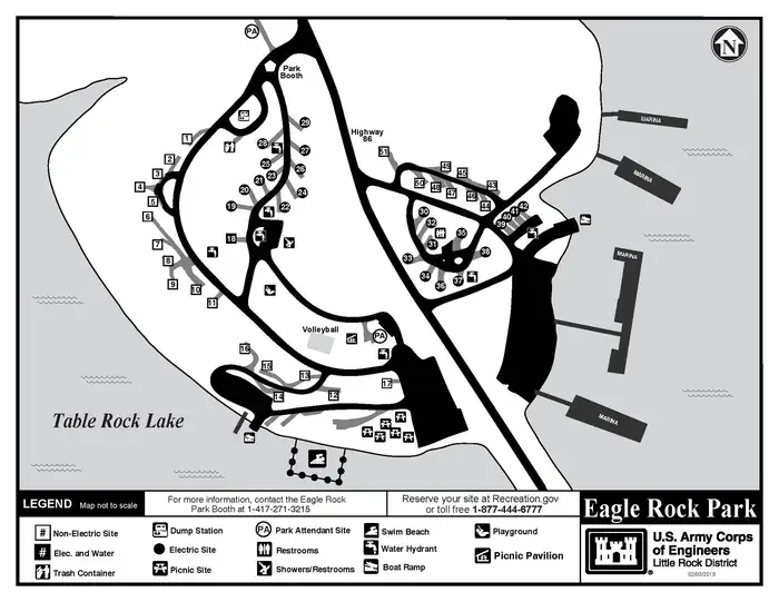 Eagle RockLake fishing7.2 mi
- Flat CreekCanoeing8 mi
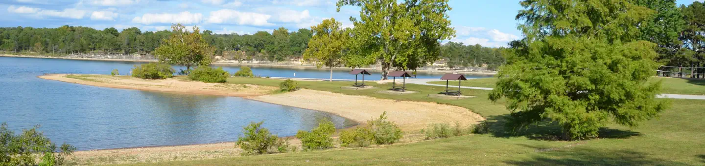 Big MLake fishing9 mi
Source: Roamze catalog (indexable pages within 10 miles, PostGIS distance)
- River TrailHiking · Next doorPhoto: dfellow, CC BY 2.0 (via Wikimedia Commons)
- Devils Kitchen TrailHiking · Next doorPhoto: dfellow, CC BY 2.0 (via Wikimedia Commons)
- Hidden Diversity Multi-Use TrailHiking · ~38 min drive
- Pibern TrailHiking · ~1 min drivePhoto: dfellow, CC BY 2.0 (via Wikimedia Commons)
 Lago Vista-EastHiking · ~43 min drivePhoto: bobsacks, CC BY 2.0 (via Flickr)
- Springhouse TrailHiking · ~1 min drivePhoto: dfellow, CC BY 2.0 (via Wikimedia Commons)
- Tunnel Vision 7Hiking · ~43 min drivePhoto: bobsacks, CC BY 2.0 (via Flickr)
- Eagles Nest TrailHiking · ~2 min drivePhoto: dfellow, CC BY 2.0 (via Wikimedia Commons)
 Tunnel VisionHiking · ~44 min drivePhoto: Doug Wertman, CC BY 2.0 (via Wikimedia Commons)
 Pigeon Roost TrailHiking · ~36 min drivePhoto: Doug Wertman from Rogers, AR, USA, CC BY 2.0 (via Wikimedia Commons)
Best time to visit Fire Tower Trail
Best months: March–June and September–November. Best months have typical highs of 55–85 °F, lows of 30 °F or warmer (32 °F where the station doesn't record snow), at most one snowy day and no more than 12 wet days.
Jan
44° / 23°
Feb
49° / 26°
Mar
58° / 35°
Apr
67° / 44°
May
75° / 54°
Jun
83° / 62°
Jul
87° / 66°
Aug
87° / 65°
Sep
80° / 56°
Oct
70° / 46°
Nov
57° / 35°
Dec
47° / 27°
Typical high / low (°F) and days with rain or snow, 1991–2020. Measured at Cassville, MO, 6.9 mi away at 1,376 ft. This station doesn't record snowfall. Source: NOAA NCEI U.S. Climate Normals 1991–2020.
Route details
- Distance
- 6.5 mi round trip
- Climbing
- About 2,397 ft
- Summit
- 1,312 ft
- Difficulty
- Expert
- Time
- About 3 hours
Other routes up Mudlick Mountain
Questions about this route
How long is the Fire Tower Trail on Mudlick Mountain?
About 6.5 mi round trip.
How much elevation gain is on the Fire Tower Trail?
About 2,397 ft of climbing round trip.
How hard is the Fire Tower Trail?
It is rated expert.
How long does the Fire Tower Trail take?
About 3 hours round trip.
How many routes go up Mudlick Mountain?
2: Fire Tower Trail and Mudlick Equestrian Hike Trail.
