Eagles Nest Trail
 Photo: dfellow, CC BY 2.0 (via Wikimedia Commons)
- 1.9 mi
- loop
- 420 ft
- climb
- 1,420 ft
- high point
- Loop
- route
- Mar–Jun, Sep–Nov
- best months
Eagles Nest Trail is a 1.9-mile loop in Missouri, about 4.5 miles from the town of Eagle Rock. The trail rises from a low point of 1,018 feet to a high of 1,420 feet, with a total elevation gain of 420 feet. It is rated easy, and the climb is spread across the route rather than concentrated in one stretch. The trail is a loop, so you can expect to return to your starting point. The steepest part comes at about 1.1 miles in, with a grade of 34 percent. Bikes and horses are not allowed, so plan on walking. Spring and fall are the most comfortable times to go. Typical averages from a nearby weather station in Seligman show May highs around 76°F and October highs around 71°F, while July and August average about 88°F. The trail sits among several other short hikes. Springhouse Trail is 0.6 miles away, and River Trail and Devils Kitchen Trail are each about 1.1 miles off. Roaring River, a fishing spot, is about 1.2 miles away.
Local outfitters
- Float Eureka13 mi away
- Kings River Outfitters20 mi away
Not on Roamze yet. Their page has how to reach them.
 Springhouse TrailHikingPhoto: dfellow, CC BY 2.0 (via Wikimedia Commons)0.6 mi
- River TrailHikingPhoto: dfellow, CC BY 2.0 (via Wikimedia Commons)1.1 mi
- Devils Kitchen TrailHikingPhoto: dfellow, CC BY 2.0 (via Wikimedia Commons)1.1 mi
 Fire Tower TrailHikingPhoto: dfellow, CC BY 2.0 (via Flickr)1.2 mi
- Roaring RiverRiver fishing1.2 mi
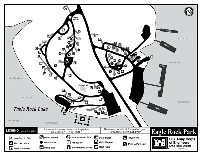 Eagle RockLake fishing6.4 mi
 Big MLake fishing8.5 mi
- Flat CreekCanoeing9.2 mi
Source: Roamze catalog (indexable pages within 10 miles, PostGIS distance)
- Springhouse TrailHiking · ~1 min drivePhoto: dfellow, CC BY 2.0 (via Wikimedia Commons)
- Devils Kitchen TrailHiking · ~2 min drivePhoto: dfellow, CC BY 2.0 (via Wikimedia Commons)
- Fire Tower TrailHiking · ~2 min drivePhoto: dfellow, CC BY 2.0 (via Flickr)
- Hidden Diversity Multi-Use TrailHiking · ~37 min drive
- River TrailHiking · ~2 min drivePhoto: dfellow, CC BY 2.0 (via Wikimedia Commons)
 Piney Creek-Tower LoopHiking · ~26 min drivePhoto: My Blue Van, CC BY-SA 2.0 (via Flickr)
- Pibern TrailHiking · ~2 min drivePhoto: dfellow, CC BY 2.0 (via Wikimedia Commons)
 Tunnel Vision 7Hiking · ~43 min drivePhoto: bobsacks, CC BY 2.0 (via Flickr)
 Pigeon Roost TrailHiking · ~34 min drivePhoto: Doug Wertman from Rogers, AR, USA, CC BY 2.0 (via Wikimedia Commons)
- Lago Vista-EastHiking · ~43 min drivePhoto: bobsacks, CC BY 2.0 (via Flickr)
Best time to visit Eagles Nest Trail
Best months: March–June and September–November. Best months have typical highs of 55–85 °F, lows of 30 °F or warmer (32 °F where the station doesn't record snow), at most one snowy day and no more than 12 wet days.
Jan
45° / 23°
Feb
50° / 26°
Mar
58° / 34°
Apr
68° / 42°
May
76° / 52°
Jun
83° / 60°
Jul
88° / 65°
Aug
88° / 64°
Sep
81° / 55°
Oct
71° / 44°
Nov
58° / 33°
Dec
48° / 26°
Typical high / low (°F) and days with rain or snow, 1991–2020. Measured at Seligman, MO, 6.4 mi away at 1,530 ft. This station doesn't record snowfall. Source: NOAA NCEI U.S. Climate Normals 1991–2020.
