Cassville Natural Bridge
- 1,266 ft
- elevation
- Mar–Jun, Sep–Nov
- best months
Is Cassville Natural Bridge open right now?
Alert in the area
The Forest Service lists 12 alerts for Mark Twain National Forest.
Crane Lake Dam
Agency alert covering Mark Twain National Forest · USFS · Mark Twain National Forest
Delays on Forest Road 557
Agency alert covering Mark Twain National Forest · USFS · Mark Twain National Forest
Forest Order - Trail 119 Closure Extended (Chadwick Motorized Trail System)
Agency alert covering Mark Twain National Forest · USFS · Mark Twain National Forest
Forest Order - Trail 119 Closure (Chadwick Motorized Trail System)
Agency alert covering Ava/Cassville/Willow Springs Ranger District · Order 09-05-21-26-06 · USFS · Ava/Cassville/Willow Springs Ranger District
Forest Order 09-05-21-26-03 National Forest System Road 566 Closure
Agency alert covering Ava/Cassville/Willow Springs Ranger District · Order 09-05-21-26-03 · USFS · Ava/Cassville/Willow Springs Ranger District
As of · Source: USFS · Mark Twain National Forest. Agencies don't list every closure — check before you go.
Cassville Natural Bridge is a natural arch in Missouri's Mark Twain National Forest, within the Ava/Cassville/Willow Springs Ranger District. It sits at about 1,266 feet, roughly 5 miles from the town of Eagle Rock. Spring and fall are the most comfortable times to visit. Typical averages from a nearby weather station in Cassville show May highs around 75°F and October highs near 70°F, while July and August average about 87°F. Several other spots lie within a few miles. Fire Tower Trail and Roaring River are both about 3.4 miles away, and Devils Kitchen Trail is about 3.6 miles off. Eagle Rock, a lake fishing spot, is about 6.9 miles away.
- Elevation
- 1,266 ft
Elevation from USGS 3D Elevation Program terrain data (about 10 m resolution).
 Fire Tower TrailHikingPhoto: dfellow, CC BY 2.0 (via Flickr)3.4 mi
- Roaring RiverRiver fishing3.4 mi
 River TrailHikingPhoto: dfellow, CC BY 2.0 (via Wikimedia Commons)3.5 mi
- Devils Kitchen TrailHikingPhoto: dfellow, CC BY 2.0 (via Wikimedia Commons)3.6 mi
 Eagles Nest TrailHikingPhoto: dfellow, CC BY 2.0 (via Wikimedia Commons)4 mi
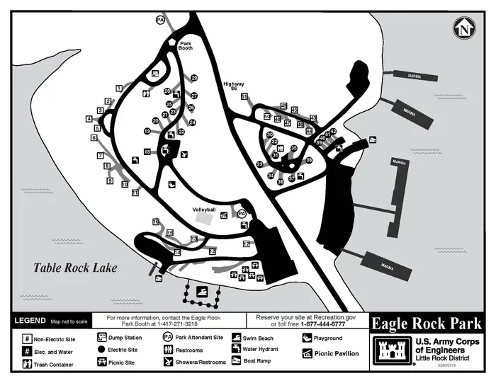 Eagle RockLake fishing6.9 mi
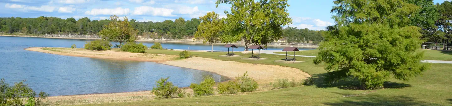 Big MLake fishing7.2 mi
- Flat CreekCanoeing7.3 mi
Source: Roamze catalog (indexable pages within 10 miles, PostGIS distance)
Best time to visit Cassville Natural Bridge
Best months: March–June and September–November. Best months have typical highs of 55–85 °F, lows of 30 °F or warmer (32 °F where the station doesn't record snow), at most one snowy day and no more than 12 wet days.
Jan
44° / 23°
Feb
49° / 26°
Mar
58° / 35°
Apr
67° / 44°
May
75° / 54°
Jun
83° / 62°
Jul
87° / 66°
Aug
87° / 65°
Sep
80° / 56°
Oct
70° / 46°
Nov
57° / 35°
Dec
47° / 27°
Typical high / low (°F) and days with rain or snow, 1991–2020. Measured at Cassville, MO, 6.8 mi away at 1,376 ft. This station doesn't record snowfall. Source: NOAA NCEI U.S. Climate Normals 1991–2020.
