Spillway Recreation Area
- Mar–Jun, Sep–Nov
- best months
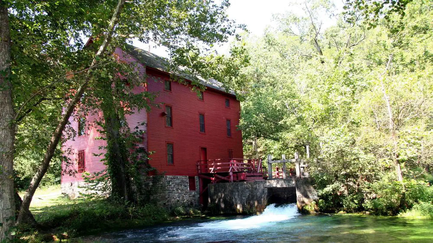
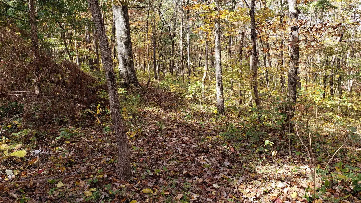
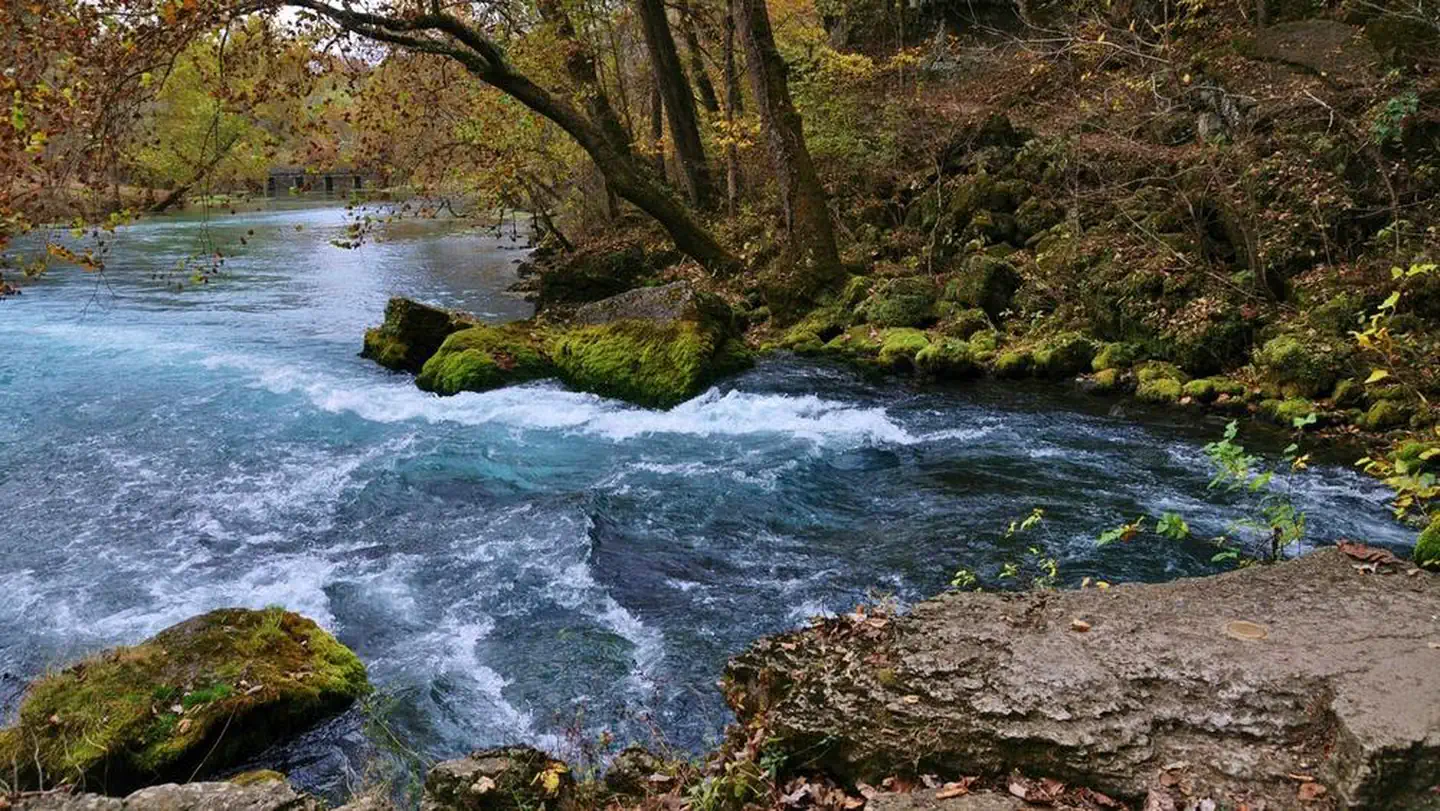
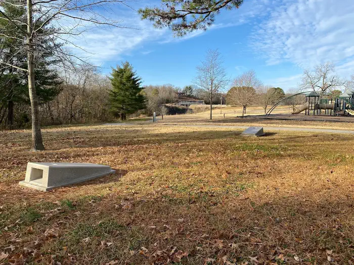
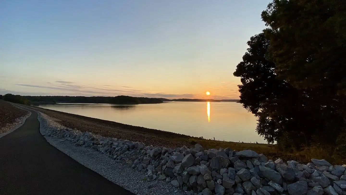
Overview The Spillway Recreation Area's iconic outllet structure has delighted visitors to Wappapello Lake since 1937. Feeding the St. Francis River, the spillway banks are a favorite location for fisherman. A one lane boat ramp provides river access, the lower boat ramp area is also an ideal location for kayakers with easy bank access for launching. 11 picnic areas and 2 accessible picnic shelters are available for use year round. Each shelter has a large capacity grill, electricity, water fountains and water hydrants available, Shelter 4 has a large wood burning fireplace in the covered area. A 6 stall, accessible restroom is centrally located within the recreation area. A sand volleyball court, large playground, horseshoe pits, cornhole boards and a Lake View Trailhead offer recreational opportunities for all ages and interests. Click here to take a virtual tour of the facilities at Wappapello Lake! Recreation Boating and fishing are the most popular activities with largemouth bass, crappie, bluegill, white bass and channel catfish, among other species. Pine Ridge Natural Trail, a 3/4-mile double loop, starts at the Spillway Recreation Area and provides an excellent way to explore the beautiful woodlands.Facilities This day use area includes two large picnic shelters, 8 picnic sites, a volleyball court, playground, horseshoe pits and bank fishing.Natural Features Wappapello Lake has a seemingly endless string of secluded coves hugged by a winding, wooded shoreline. The public recreation area spans 45,000 acres in the southeastern Ozark foothills. Contact Info This location is unstaffed. To speak with our main office for general information, please call: (573) 222-7500. Nearby Attractions The extensive 33-mile Ozark Trail, starts just south of Sam A. Baker State Park and winds along the west side of the St. Francis River and Wappapello Lake.
 Eagle Point Recreation AreaLake fishing0.7 mi
- Peoples CreekPier fishing1.5 mi
- Mingo CreekCanoeing4 mi
- University Forest TrailHiking4.7 mi
- OZARK TRAIL-Wappapello ConnectorHiking5.9 mi
- Lake WappapelloLake fishing6 mi
- Bluff TrailHiking7.9 mi
- Ozark Trail Wappapello SectionHiking8.2 mi
Source: Roamze catalog (indexable pages within 10 miles, PostGIS distance)
- Eagle Point Recreation AreaLake fishing · ~1 min drive
- Markham SpringsRiver fishing · ~31 min drive
- Pinewoods Lake Rec AreaPier fishing · ~48 min drive
- Lake WappapelloLake fishing · ~10 min drive
- Clearwater LakeLake fishing · ~54 min drive
- Greenville Recreation AreaLake fishing · ~26 min drive
- River Road ParkRiver fishing · ~52 min drive
- Peoples CreekPier fishing · ~3 min drive
- Bluff View(clearwater Lake)Lake fishing · ~57 min drive
- Highway KRiver fishing · ~1h 6m drive
Best time to visit Spillway Recreation Area
Best months: March–June and September–November. Best months have typical highs of 55–85 °F, lows of 30 °F or warmer (32 °F where the station doesn't record snow), at most one snowy day and no more than 12 wet days.
Jan
42° / 24°
Feb
47° / 28°
Mar
56° / 36°
Apr
68° / 46°
May
76° / 56°
Jun
84° / 65°
Jul
88° / 69°
Aug
87° / 67°
Sep
80° / 60°
Oct
69° / 47°
Nov
56° / 36°
Dec
45° / 28°
Typical high / low (°F) and days with rain or snow, 1991–2020. Measured at Wappapello Dam, MO, 0.2 mi away at 410 ft. This station doesn't record snowfall. Source: NOAA NCEI U.S. Climate Normals 1991–2020.