Mingo Creek-Lower
- Mar–Jun, Sep–Nov
- best months
Mingo Creek-Lower is a boat launch on Mingo National Wildlife Refuge in Missouri, about 3 miles from the town of Puxico. The U.S. Fish and Wildlife Service manages the refuge. For comfortable weather, aim for late spring or early fall. Typical averages from the nearby Wappapello Dam weather station run to highs around 76°F in May and 80°F in September, with July highs near 88°F. Mingo Creek, a canoeing spot, lies less than a mile away. Peoples Creek offers pier fishing about 4 miles off, and Eagle Point Recreation Area and Bluff Trail are both roughly 4 miles away.
- Managed by
- U.S. Fish and Wildlife Service
- Mingo CreekCanoeing0.9 mi
- Peoples CreekPier fishing3.7 mi
- Bluff TrailHiking3.8 mi
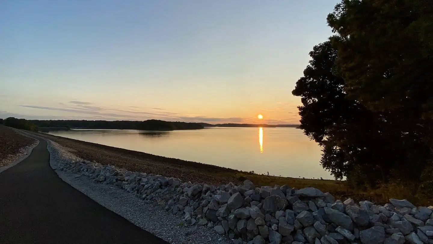 Eagle Point Recreation AreaLake fishing3.8 mi
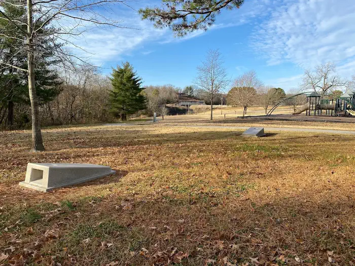 Spillway Recreation AreaLake fishing4.2 mi
- Lake WappapelloLake fishing8.1 mi
- University Forest TrailHiking8.9 mi
- OZARK TRAIL-Wappapello ConnectorHiking9.7 mi
Source: Roamze catalog (indexable pages within 10 miles, PostGIS distance)
 Black RiverCanoeing · ~24 min drivePhoto: Kbh3rd, CC BY 4.0 (via Wikimedia Commons)
- Lower Mingo CreekBoat launch · ~1 min drive
- Mingo CreekCanoeing · ~1 min drive
- Mingo CreekBoat launch · ~1 min drive
- Castor River Diversion ChannelCanoeing · ~27 min drive
- Mingo Creek-Wilderness BoundaryBoat launch · ~2 min drive
- Monolopy MarshBoat launch · ~7 min drive
- May PondBoat launch · ~7 min drive
- James Clark AccessBoat launch · ~10 min drive
- Pool 3Boat launch · ~13 min drive
Best time to visit Mingo Creek-Lower
Best months: March–June and September–November. Best months have typical highs of 55–85 °F, lows of 30 °F or warmer (32 °F where the station doesn't record snow), at most one snowy day and no more than 12 wet days.
Jan
42° / 24°
Feb
47° / 28°
Mar
56° / 36°
Apr
68° / 46°
May
76° / 56°
Jun
84° / 65°
Jul
88° / 69°
Aug
87° / 67°
Sep
80° / 60°
Oct
69° / 47°
Nov
56° / 36°
Dec
45° / 28°
Typical high / low (°F) and days with rain or snow, 1991–2020. Measured at Wappapello Dam, MO, 4.3 mi away at 410 ft. This station doesn't record snowfall. Source: NOAA NCEI U.S. Climate Normals 1991–2020.
Map and trail data © OpenStreetMap contributors
