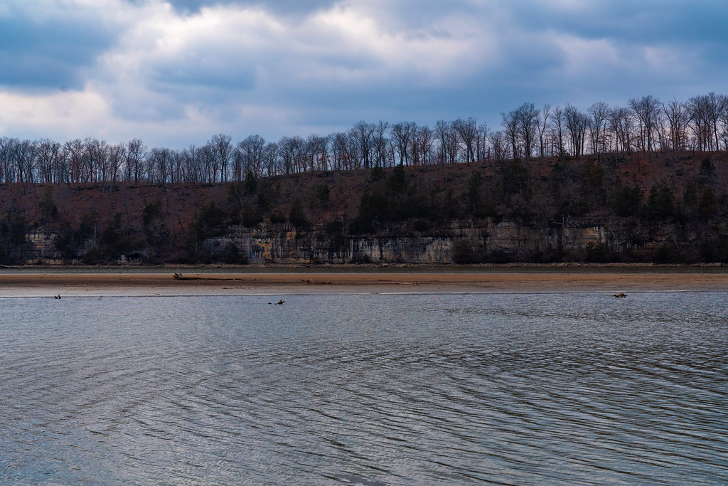
Paddling in Eldon, Missouri

3 spotsUpdated weeklyFree to access
View on mapPaddling · 3 spots
Featured spots


All spots · 3 spots
No additional spots match this filter.
Keep exploring — more water worth the drive
PADDLE
Saline Creek
~7 min drive
Saline Creek is a 12-mile paddling stretch near Eldon, Missouri. It flows year-round. USGS models an average flow of about 81 cfs and a gradient of about 19.3 feet per mile.
SEE
Coffman Beach Access Boat Ramp
~19 min drive
Coffman Beach Access Boat Ramp is a boat launch in Missouri.
PADDLE
Little Gravois Creek
~10 min drive
Little Gravois Creek is a 6.8-mile paddling stretch near Eldon, Missouri. It is intermittent and may run dry in some seasons. USGS models an average flow of about 35 cfs and a gradient of about 25.4 feet per mile.
SEE
Gravois Mills Access Boat Ramp
~24 min drive
Gravois Mills Access Boat Ramp is a boat launch in Missouri.
PADDLE
South Moreau Creek
~10 min drive
South Moreau Creek is a 23-mile paddling stretch near Eldon, Missouri. It is intermittent and may run dry in some seasons. USGS models an average flow of about 156 cfs and a gradient of about 11.2 feet per mile.
SEE
Pa He Tsi Boat Ramp
~27 min drive
Pa He Tsi Boat Ramp is a boat launch in Missouri.
PADDLE
Brush Creek
~12 min drive
Brush Creek is a 9.3-mile paddling stretch near Olean, Missouri. It is intermittent and may run dry in some seasons. USGS models an average flow of about 38 cfs and a gradient of about 18.8 feet per mile.
SEE
Grand Glaize Boat Ramp
~27 min drive
Grand Glaize Boat Ramp is a boat launch in Missouri.
PADDLE
Brushy Fork
~28 min drive
Brushy Fork is a 9.2-mile paddling stretch near Ulman, Missouri. It is intermittent and may run dry in some seasons. USGS models an average flow of about 97 cfs and a gradient of about 20.2 feet per mile.
SEE
St. Thomas Ferry Access
~35 min drive
St. Thomas Ferry Access is a boat launch in Missouri.
PADDLE
North Moreau Creek
~32 min drive
North Moreau Creek is a 1.2-mile paddling stretch near California, Missouri. It flows year-round. USGS models an average flow of about 304 cfs and a gradient of about 8.8 feet per mile.
SEE
Honey Creek Access
~36 min drive
Honey Creek Access is a boat launch in Missouri.