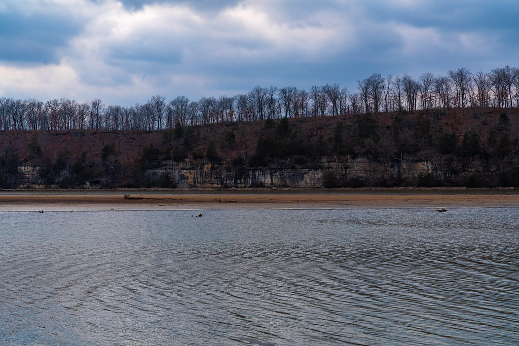
Little Gravois Creek
- 6.8 mi
- distance
- 756 ft
- high point
- Mar–Jun, Sep–Nov
- best months
Little Gravois Creek is a canoeing route in Missouri, about 3 miles from the town of Lakeland. It is a paddling destination rather than a trail, and its location close to town makes it an easy addition to a day spent exploring the area. Spring and fall are the most comfortable times to paddle. Typical averages from a nearby weather station in Lakeside show October highs around 70°F with lows near 49°F, and May highs around 77°F. July is the warmest month, with typical highs near 89°F. For more paddling in the region, Saline Creek lies about 8 miles away.
Local outfitters
- Scooters Rental5 mi away
Not on Roamze yet. Their page has how to reach them.
Source: Roamze catalog (indexable pages within 10 miles, PostGIS distance)
- Saline CreekCanoeing · ~14 min drive
- Coffman Beach Access Boat RampBoat launch · ~10 min drive
- South Moreau CreekCanoeing · ~19 min drive
- Pa He Tsi Boat RampBoat launch · ~18 min drive
- Brush CreekCanoeing · ~23 min drive
- Grand Glaize Boat RampBoat launch · ~18 min drive
- Brushy ForkCanoeing · ~27 min drive
- Gravois Mills Access Boat RampBoat launch · ~18 min drive
- Grandglaize CreekCanoeing · ~28 min drive
- Wigwam School AccessBoat launch · ~35 min drive
Best time to visit Little Gravois Creek
Best months: March–June and September–November. Best months have typical highs of 55–85 °F, lows of 30 °F or warmer (32 °F where the station doesn't record snow), at most one snowy day and no more than 12 wet days.
Jan
44° / 25°
7 wet
Feb
49° / 29°
6 wet
Mar
59° / 37°
9 wet
Apr
69° / 47°
11 wet
May
77° / 56°
12 wet
Jun
85° / 65°
10 wet
Jul
89° / 70°
8 wet
Aug
88° / 68°
8 wet
Sep
81° / 60°
8 wet
Oct
70° / 49°
8 wet
Nov
59° / 39°
7 wet
Dec
48° / 30°
7 wet
Typical high / low (°F) and days with rain or snow, 1991–2020. Measured at Lakeside, MO, 4.2 mi away at 590 ft. This station doesn't record snowfall. Source: NOAA NCEI U.S. Climate Normals 1991–2020.