Backpack Camp
At a glance
Backpack Camp is a campground in Missouri.
- best months
- Mar–Jun, Sep–Nov
Near: Osage Beach · 4.1 mi
Best time to visit Backpack Camp
Best months: March–June and September–November. Best months have typical highs of 55–85 °F, lows of 30 °F or warmer (32 °F where the station doesn't record snow), at most one snowy day and no more than 12 wet days.
Jan
44°
25°
7 wet
Feb
49°
29°
6 wet
Mar
59°
37°
9 wet
Apr
69°
47°
11 wet
May
77°
56°
12 wet
Jun
85°
65°
10 wet
Jul
89°
70°
8 wet
Aug
88°
68°
8 wet
Sep
81°
60°
8 wet
Oct
70°
49°
8 wet
Nov
59°
39°
7 wet
Dec
48°
30°
7 wet
Typical high / low (°F) and days with rain or snow, 1991–2020. Measured at Lakeside, MO, 6.7 mi away at 590 ft. We don't have this place's elevation, so higher spots nearby can run cooler. This station doesn't record snowfall. Source: NOAA NCEI U.S. Climate Normals 1991–2020.
Been here? Tell people how it was.
- Bluestem Knoll TrailHiking0.9 mi
- Hidden Springs TrailHiking2.2 mi
- Fawns Ridge TrailHiking2.6 mi
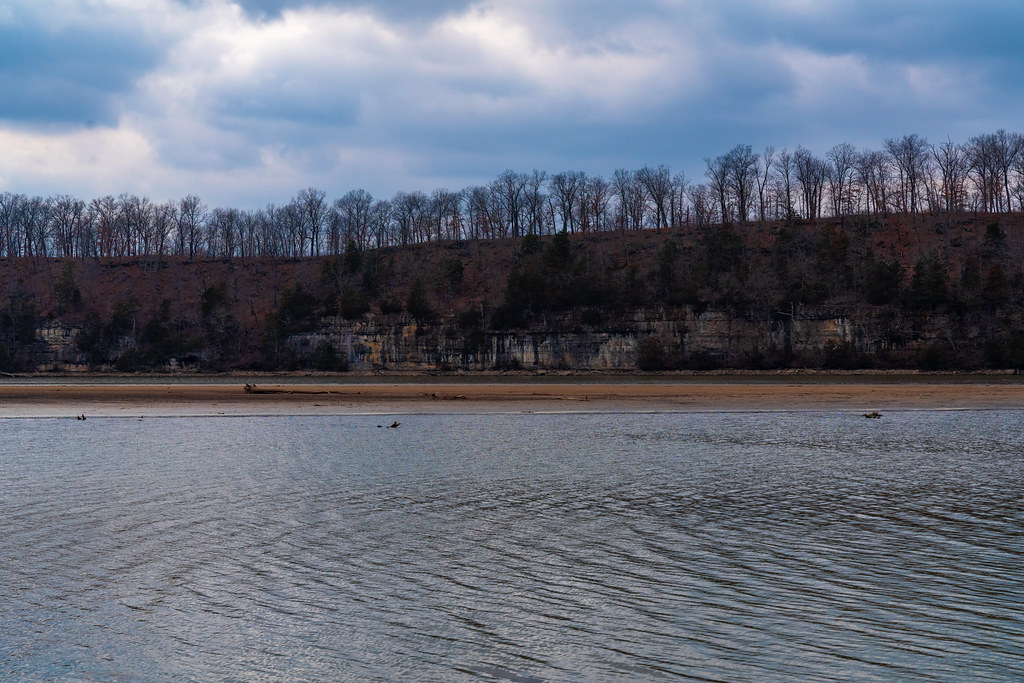 Lake View Bend TrailHikingPhoto: Tony Webster, CC BY 2.0 (via Flickr)2.6 mi
 Lake Of The Ozarks State ParkState parkPhoto: James Carr, CC BY 2.0 (via Wikimedia Commons)3 mi
- Pa He Tsi Boat RampBoat launch4.8 mi
- Grand Glaize Boat RampBoat launch5 mi
- Grandglaize CreekCanoeing5.5 mi
- Pin Oak Hollow Primitive CampgroundCamping~4 min drive
- Nemo LandingCamping~1h 11m drive
- DamsiteCamping~1h 13m drive
- Hart Creek Conservation AreaCamping~1h 14m drive
- Outlet ParkCamping~1h 15m drive
- Osage BluffCamping~1h 17m drive
- Bledsoe FerryCamping~1h 19m drive
- Thibaut PointCamping~1h 19m drive
- Wheatland ParkCamping~1h 20m drive
- Shawnee BendCamping~1h 21m drive
Conditions and forecast
Daily highs and lows, wind and the chance of precipitation at Backpack Camp for the next 7 days, from the Open-Meteo model.
Ask about this place
Questions about Backpack Camp: conditions, access, timing. Answers say when something isn't known.
Map and trail data © OpenStreetMap contributors
