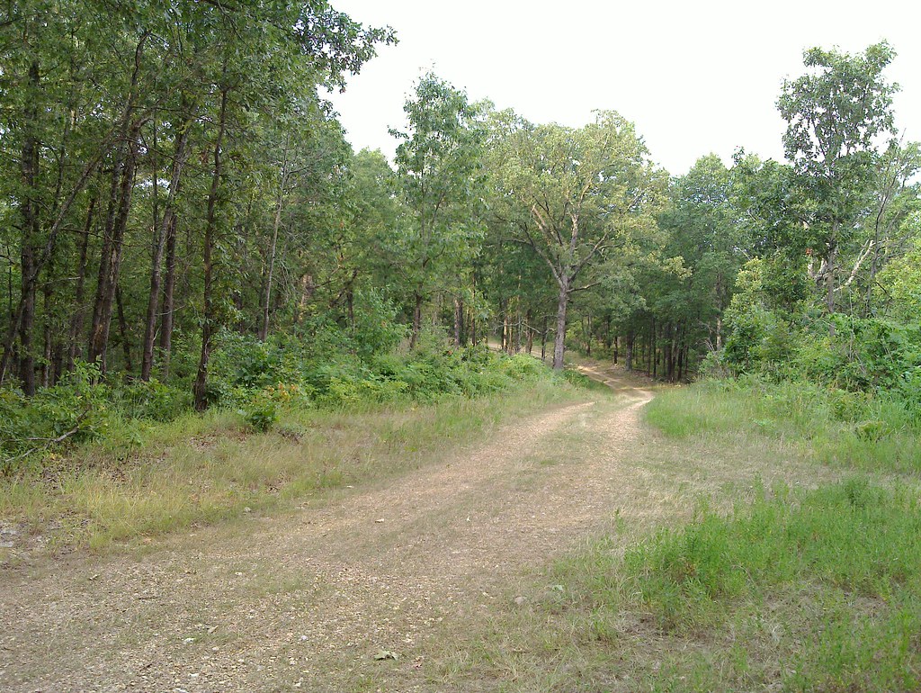
Paddling in Ava, Missouri

6 spotsUpdated weeklyFree to access
View on mapPaddling · 6 spots
Featured spots
Photo: Vsmith, CC BY-SA 4.0 (via Wikimedia Commons)Canoeing
Beaver Creek
Ava, Missouri
Photo: Vsmith, CC BY-SA 4.0 (via Wikimedia Commons)Canoeing
Cowskin Creek
Ava, Missouri
 Photo: Vsmith, CC BY-SA 4.0 (via Wikimedia Commons)
Canoeing
Fox Creek
Ava, Missouri
 Photo: Vsmith, CC BY-SA 3.0 (via Wikimedia Commons)
Canoeing
Hunter Creek
Ava, Missouri

Canoeing
Bryant Creek
Ava, Missouri
All spots · 6 spots

Keep exploring — more water worth the drive
Photo: Vsmith, CC BY-SA 3.0 (via Wikimedia Commons)Hunter Creek
~4 min drive
Hunter Creek is a 10-mile paddling stretch near Ava, Missouri. It flows year-round. USGS models an average flow of about 42 cfs and a gradient of about 28.5 feet per mile.
SEE
Vera Cruz
~10 min drive
Vera Cruz is a boat launch in Missouri.
Photo: Vsmith, CC BY-SA 4.0 (via Wikimedia Commons)Cowskin Creek
~13 min drive
Cowskin Creek is a 11-mile paddling stretch near Ava, Missouri. It is intermittent and may run dry in some seasons. USGS models an average flow of about 43 cfs and a gradient of about 31.5 feet per mile.
SEE
Hwy 14
~14 min drive
Hwy 14 is a boat launch in Missouri.
Photo: Vsmith, CC BY-SA 4.0 (via Wikimedia Commons)Fox Creek
~19 min drive
Fox Creek is a 25-mile paddling stretch near Ava, Missouri. It is intermittent and may run dry in some seasons. USGS models an average flow of about 97 cfs and a gradient of about 18.3 feet per mile.
SEE
Rippee CA
~16 min drive
Rippee CA is a boat launch in Missouri.
Photo: Vsmith, CC BY-SA 4.0 (via Wikimedia Commons)Beaver Creek
~20 min drive
Beaver Creek is a 26-mile paddling stretch near Ava, Missouri. It flows year-round. USGS models an average flow of about 313 cfs and a gradient of about 13.0 feet per mile.
SEE
Bertha Ford
~24 min drive
Bertha Ford is a boat launch in Missouri.
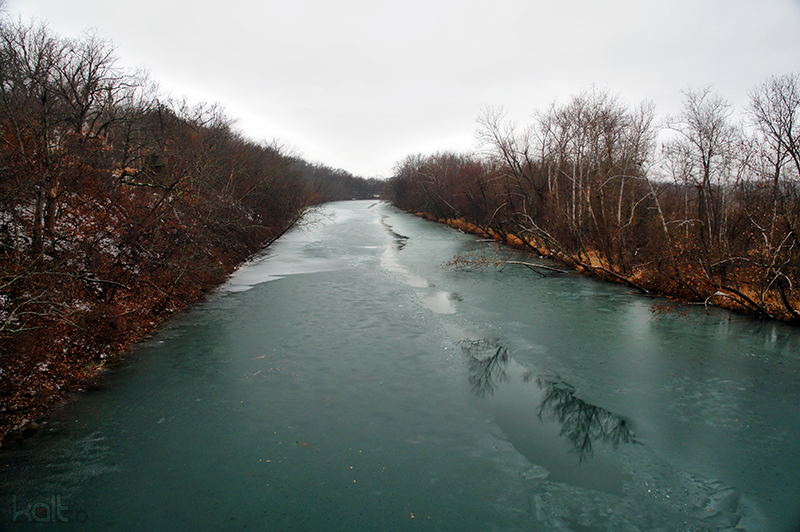 Photo: Cold417 The original uploader was Cold417 at English Wikipedia., CC BY-SA 3.0 (via Wikimedia Commons)
James River
~40 min drive
James River is a 15-mile paddling stretch near Seymour, Missouri. It is intermittent and may run dry in some seasons. USGS models an average flow of about 99 cfs and a gradient of about 15.7 feet per mile.
SEE
HWY 95 Bridge
~30 min drive
HWY 95 Bridge is a boat launch in Missouri.
 Photo: Inklein, CC BY-SA 4.0 (via Wikimedia Commons)
Big Piney River
~55 min drive
Big Piney River is a 18-mile paddling stretch near Cabool, Missouri. It flows year-round. USGS models an average flow of about 359 cfs and a gradient of about 14.2 feet per mile.
SEE
Osborn Ford low-water bridge
~37 min drive
Osborn Ford low-water bridge is a boat launch in Missouri.