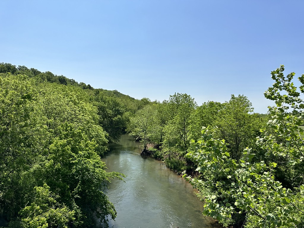
Hootentown Natural Arch
- 1,174 ft
- elevation
- Mar–Jun, Sep–Nov
- best months
Hootentown Natural Arch is a natural arch in Missouri, sitting at about 1,174 feet in elevation roughly 6 miles from the town of Hurley. It is a single natural feature rather than a route, so there is no climb to plan around, no trail to measure, and no difficulty rating to consider. It is a destination in its own right, a natural formation to visit rather than a stop along the way. Spring and fall are the most comfortable times to go. Typical averages from a nearby weather station in Galena show October highs around 70°F with lows near 44°F, and May highs around 77°F. July and August are the warmest months, with highs near 89°F. Crane Creek, a canoeing spot about 8 miles away, is the closest nearby option. The Busiek Orange Trail and Busiek White Trail are both within about 9 miles, and the Busiek Combined Orange/Purple/White Trail is just under 10 miles off.
- Elevation
- 1,174 ft
Elevation from USGS 3D Elevation Program terrain data (about 10 m resolution).
- Crane CreekCanoeing8.1 mi
- Busiek Orange TrailHiking8.4 mi
- Busiek White TrailHiking9.2 mi
- Busiek Combined Orange/Purple/White TrailHiking9.6 mi
- Busiek Purple TrailHiking9.7 mi
Source: Roamze catalog (indexable pages within 10 miles, PostGIS distance)
Best time to visit Hootentown Natural Arch
Best months: March–June and September–November. Best months have typical highs of 55–85 °F, lows of 30 °F or warmer (32 °F where the station doesn't record snow), at most one snowy day and no more than 12 wet days.
Jan
45° / 22°
6 wet
Feb
50° / 25°
6 wet
Mar
59° / 34°
8 wet
Apr
68° / 43°
10 wet
May
77° / 53°
11 wet
Jun
85° / 63°
9 wet
Jul
89° / 66°
8 wet
Aug
89° / 65°
7 wet
Sep
82° / 56°
7 wet
Oct
70° / 44°
8 wet
Nov
58° / 33°
7 wet
Dec
47° / 25°
6 wet
Typical high / low (°F) and days with rain or snow, 1991–2020. Measured at Galena, MO, 9.2 mi away at 1,027 ft. This station doesn't record snowfall. Source: NOAA NCEI U.S. Climate Normals 1991–2020.