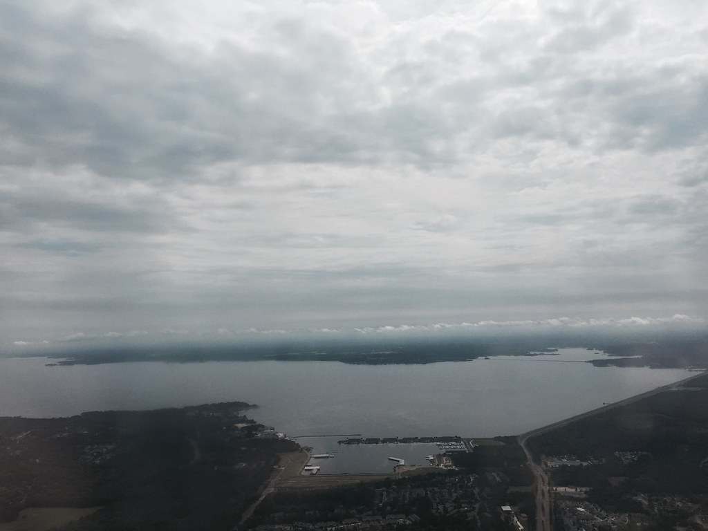
Eutacutachee Creek
- 9.2 mi
- distance
- 381 ft
- high point
- Oct–May
- best months
Eutacutachee Creek is a canoeing waterway in Mississippi, about 0.5 miles from the town of Gulde. At roughly 9 miles long, it is a paddling route that starts close to town and runs through the low country of north Mississippi. Spring and fall are the most comfortable times to paddle. Typical averages from a nearby weather station at Jackson show April highs around 77°F and October highs around 78°F, while July and August average highs near 92°F. Other paddling options lie within a short drive. Pelahatchie Creek is about 3 miles away and Clear Creek about 6 miles.
Source: Roamze catalog (indexable pages within 10 miles, PostGIS distance)
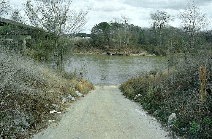 Leaf RiverCanoeing · ~47 min drivePhoto: The original uploader was Malepheasant at English Wikipedia., CC BY-SA 2.5 (via Wikimedia Commons)
- Pelahatchie CreekCanoeing · ~6 min drive
- Clear CreekCanoeing · ~10 min drive
- Purvis CreekCanoeing · ~19 min drive
- Richland CreekCanoeing · ~19 min drive
- Raspberry CreekCanoeing · ~19 min drive
- Strong RiverCanoeing · ~24 min drive
- Coffee BogueCanoeing · ~29 min drive
- Steen CreekCanoeing · ~33 min drive
- Shockaloo CreekCanoeing · ~37 min drive
Best time to visit Eutacutachee Creek
Best months: October–May. Best months have typical highs of 55–85 °F, lows of 30 °F or warmer (32 °F where the station doesn't record snow), at most one snowy day and no more than 12 wet days.
Jan
57° / 37°
10 wet
Feb
62° / 40°
9 wet
Mar
69° / 46°
10 wet
Apr
77° / 53°
9 wet
May
84° / 62°
9 wet
Jun
90° / 69°
10 wet
Jul
92° / 72°
11 wet
Aug
92° / 72°
10 wet
Sep
88° / 66°
7 wet
Oct
78° / 54°
7 wet
Nov
67° / 44°
8 wet
Dec
60° / 39°
10 wet
Typical high / low (°F) and days with rain or snow, 1991–2020. Measured at Jackson Intl Ap, MS, 13.1 mi away at 296 ft. This station doesn't record snowfall. Source: NOAA NCEI U.S. Climate Normals 1991–2020.