Coffee Bogue
- 30.9 mi
- distance
- 400 ft
- high point
- Oct–May
- best months
Coffee Bogue is a canoeing spot in Mississippi, about 2.4 miles from the town of Beach. It is a paddling destination rather than a trail, so there is no climb to plan for, and the route is measured in miles of water rather than feet of elevation gain. Spring and fall are the most comfortable times to paddle. Typical averages from a nearby weather station in Forest, Mississippi, show April highs around 76°F and October highs around 78°F, while July and August average about 91°F. Two other paddling spots are close by. Balucta Creek is about 5.8 miles away, and Shockaloo Creek is about 9.7 miles away.
Source: Roamze catalog (indexable pages within 10 miles, PostGIS distance)
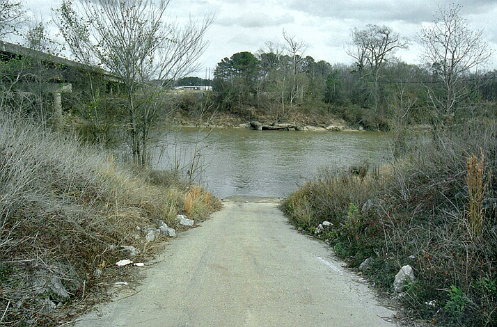 Leaf RiverCanoeing · ~48 min drivePhoto: The original uploader was Malepheasant at English Wikipedia., CC BY-SA 2.5 (via Wikimedia Commons)
- Balucta CreekCanoeing · ~10 min drive
- Shockaloo CreekCanoeing · ~17 min drive
- Clear CreekCanoeing · ~20 min drive
- Sweetwater CreekCanoeing · ~20 min drive
- Pelahatchie CreekCanoeing · ~23 min drive
- Strong RiverCanoeing · ~28 min drive
- Eutacutachee CreekCanoeing · ~29 min drive
- Dry CreekCanoeing · ~29 min drive
- Doaks CreekCanoeing · ~30 min drive
Best time to visit Coffee Bogue
Best months: October–May. Best months have typical highs of 55–85 °F, lows of 30 °F or warmer (32 °F where the station doesn't record snow), at most one snowy day and no more than 12 wet days.
Jan
58° / 34°
Feb
62° / 37°
Mar
69° / 43°
Apr
76° / 50°
May
83° / 58°
Jun
89° / 65°
Jul
91° / 68°
Aug
91° / 67°
Sep
87° / 62°
Oct
78° / 51°
Nov
67° / 40°
Dec
59° / 36°
Typical high / low (°F) and days with rain or snow, 1991–2020. Measured at Forest, MS, 18.8 mi away at 450 ft. This station doesn't record snowfall. Source: NOAA NCEI U.S. Climate Normals 1991–2020.

