Poplar Creek Trail
- 0.2 mi
- round trip
- 21 ft
- climb
- 950 ft
- high point
- Out and back
- route
Poplar Creek Trail is a short, easy cross-country ski route in Cleary Lake, Minnesota, on land managed by a regional agency. The trail is an out-and-back with a total round-trip distance of about 0.4 miles, and it gains and loses about 21 feet, so it's essentially flat. The steepest part, a 3% grade, comes at about 0.09 miles in. Winter is the natural season for cross-country skiing here. Typical averages from a nearby weather station at Farmington show January highs around 23°F and lows near 8°F, while February runs slightly milder at about 28°F. April brings typical highs near 56°F, and snow is still common through March and April. Lakeside Trail lies just 0.1 miles away, and Ironwood Trail is about half a mile off. For hiking, Big Woods Regional Trail is roughly 5 miles away, and Buck Hill, a downhill ski area, is about 5.6 miles away.
- Lakeside TrailCross-country skiing0.1 mi
- Ironwood TrailCross-country skiing0.5 mi
- Lower Ironwood TrailCross-country skiing0.8 mi
- Big Woods Regional TrailHiking4.9 mi
 Buck HillDownhill skiingPhoto: Baseball Bugs, CC BY-SA 4.0 (via Wikimedia Commons)5.6 mi
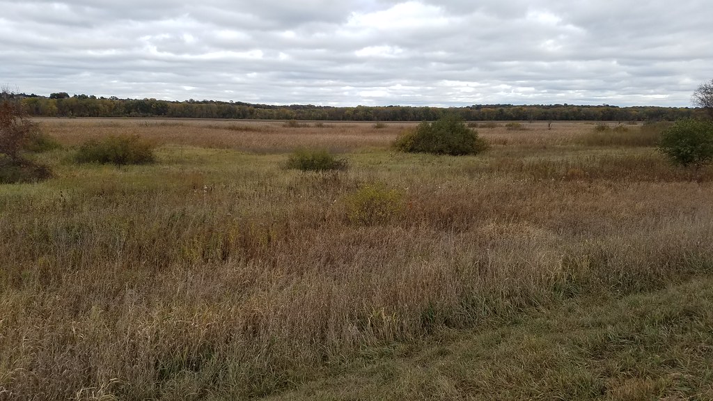 Minnesota Valley State Trail (Wilke Unit)HikingPhoto: Joe Passe, CC BY-SA 2.0 (via Flickr)7.7 mi
 Blue Lake TrailHikingPhoto: Joe Passe, CC BY-SA 2.0 (via Flickr)7.8 mi
 Bloomington Ferry TrailHikingPhoto: Joe Passe, CC BY-SA 2.0 (via Flickr)7.9 mi
Source: Roamze catalog (indexable pages within 10 miles, PostGIS distance)
Map and trail data © OpenStreetMap contributors
