
Buck Hill
About
Small ski area since 1954 offering equipment rentals, lessons & snow tubing, plus a restaurant.
Ski Area Facts
Summit elevation
1,122 ft
Base elevation
954 ft
Vertical drop
168 ft
Location
Buck Hill
Minnesota
Data © OpenStreetMap contributors, available under the Open Database License (ODbL). View or edit on OpenStreetMap.
Facts about this place
When to go
Best time to go: May–Sep. The mildest months here, with typical highs of 69–82°F and lows of 48–63°F.
Typical monthly averages (not a forecast) from the Farmington 3 Nw, MN weather station, 6.8 mi away. High / low in °F.
- Jan23° high8° low
- Feb28° high12° low
- Mar41° high24° low
- Apr56° high36° low
- May69° high48° low
- Jun78° high58° low
- Jul82° high63° low
- Aug79° high60° low
- Sep72° high52° low
- Oct58° high39° low
- Nov42° high26° low
- Dec28° high14° low
Nearby
- Black Dog TrailHiking4.6 mi
- Cliff Fen TrailHiking4.6 mi
 River Bottoms TrailHikingPhoto: Joe Passe, CC BY-SA 2.0 (via Flickr)5.3 mi
 Minnesota River Greenway TrailHikingPhoto: Joe Passe, CC BY-SA 2.0 (via Flickr)5.4 mi
- Poplar Creek TrailCross-country skiing5.4 mi
- Lakeside TrailCross-country skiing5.6 mi
- Minnesota River Bridge TrailHiking5.7 mi
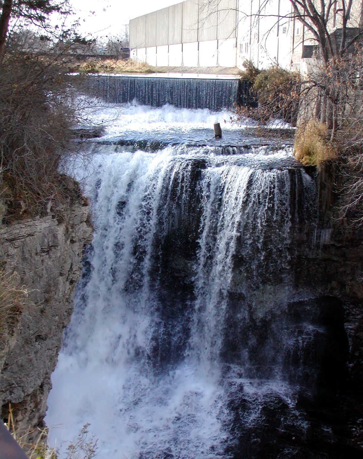 Vermillion RiverCanoeingPhoto: Appraiser at English Wikipedia, Public domain (via Wikimedia Commons)9.1 mi
Source: Roamze catalog (indexable pages within 10 miles, PostGIS distance)
Best time to visit Buck Hill
Best months: April–October. Best months have typical highs of 55–85 °F, lows of 30 °F or warmer (32 °F where the station doesn't record snow), at most one snowy day and no more than 12 wet days.
Jan
23° / 8°
6 wet
Feb
28° / 12°
5 wet
Mar
41° / 24°
7 wet
Apr
56° / 36°
8 wet
May
69° / 48°
11 wet
Jun
78° / 58°
11 wet
Jul
82° / 63°
10 wet
Aug
79° / 60°
9 wet
Sep
72° / 52°
8 wet
Oct
58° / 39°
7 wet
Nov
42° / 26°
6 wet
Dec
28° / 14°
6 wet
Typical high / low (°F) and days with rain or snow, 1991–2020. Measured at Farmington 3 Nw, MN, 6.8 mi away at 980 ft. This station doesn't record snowfall. Source: NOAA NCEI U.S. Climate Normals 1991–2020.
Plan this with Roamze
Tell Roamze when you're going and who's coming. It plans the days, gear and food around this place.
Map and trail data © OpenStreetMap contributors
