Bloomington Ferry Trail
 Photo: Joe Passe, CC BY-SA 2.0 (via Flickr)
- 0.7 mi
- round trip
- 214 ft
- climb
- 744 ft
- high point
- Out and back
- route
- Apr, Jul–Oct
- best months
Bloomington Ferry Trail is a short, easy out-and-back hike in Bloomington Ferry Unit Park in Minnesota, managed by a non-governmental organization. The trail is about 1.3 miles long, with a total elevation gain of 36 feet, and it reaches a high point of 744 feet. The route is mostly flat, with the steepest stretch at about 0.09 miles in, where the grade reaches 6 percent. Late spring and early fall are the most comfortable times to go. Typical averages from a nearby weather station show May highs around 70°F and September highs around 74°F, while July averages about 84°F and January highs sit near 24°F. The trail sits within a cluster of other outdoor options. The Minnesota Valley State Trail (Wilke Unit) is about 1.6 miles away, and the Blue Lake Trail is about 1.9 miles off. For cross-country skiing, Hill Trail and Star Loop are both within about 2 miles.
Best time to go · Apr, Jul–Oct
Best time to visit Bloomington Ferry Trail
Best months: April and July–October. Best months have typical highs of 55–85 °F, lows of 30 °F or warmer (32 °F where the station doesn't record snow), at most one snowy day and no more than 12 wet days.
Jan
24° / 8°
6 wet
Feb
29° / 11°
6 wet
Mar
42° / 24°
8 wet
Apr
57° / 37°
11 wet
May
70° / 49°
13 wet
Jun
79° / 59°
13 wet
Jul
84° / 64°
10 wet
Aug
81° / 62°
10 wet
Sep
74° / 53°
10 wet
Oct
59° / 40°
9 wet
Nov
43° / 27°
7 wet
Dec
29° / 14°
6 wet
Typical high / low (°F) and days with rain or snow, 1991–2020. Measured at Mpls Flying Cloud Ap, MN, 4.7 mi away at 907 ft. This station doesn't record snowfall. Source: NOAA NCEI U.S. Climate Normals 1991–2020.
Keep exploring — more trails worth the drive
Photo: Joe Passe, CC BY-SA 2.0 (via Flickr)River's Edge Trail
Next door
1.06-mile out-and-back trail in Minnesota with 130 ft elevation gain.
 Photo: Joe Passe, CC BY-SA 2.0 (via Flickr)
River Bottoms Trail
~7 min drive
8.68-mile out-and-back hike in Minnesota with 983 ft gain.
 Photo: Joe Passe, CC BY-SA 2.0 (via Flickr)
Rice Lake Trail
~2 min drive
0.46-mile out-and-back hike to Rice Lake in Minnesota with 80 ft of elevation gain.
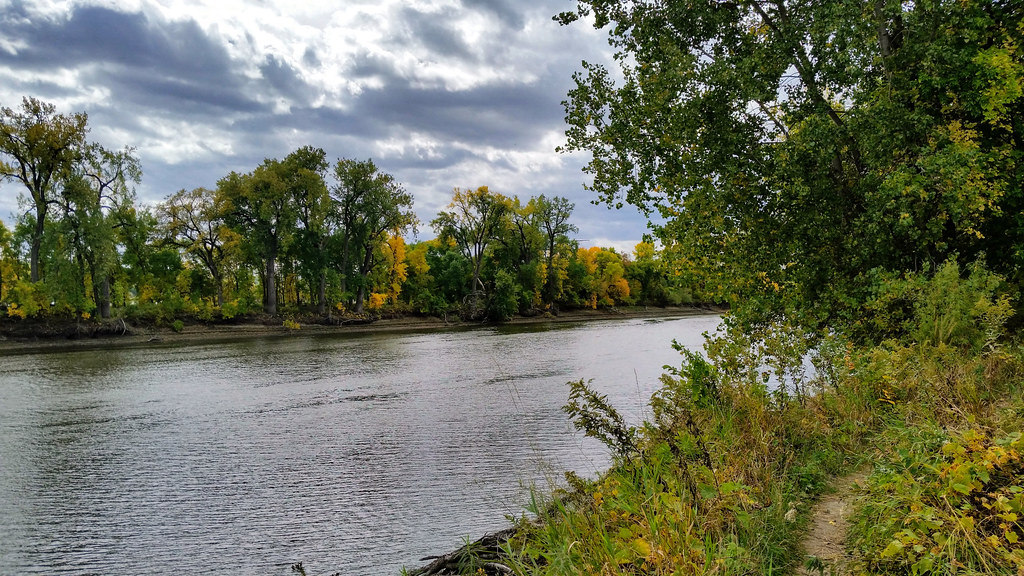 Photo: Joe Passe, CC BY-SA 2.0 (via Flickr)
Long Meadow Lake Trail
~11 min drive
Point-to-point trail to Long Meadow Lake through meadows and forest.
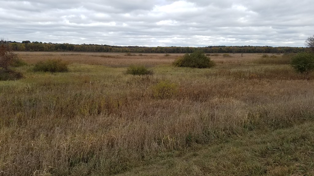 Photo: Joe Passe, CC BY-SA 2.0 (via Flickr)
Minnesota Valley State Trail (Wilke Unit)
~3 min drive
1.90-mile out-and-back trail in Minnesota with 295 ft elevation gain.
 Photo: Joe Passe, CC BY-SA 2.0 (via Flickr)
Voyageur Trek
~19 min drive
Historic point-to-point trail following a voyageur water route through Minnesota.
 Photo: Joe Passe, CC BY-SA 2.0 (via Flickr)
Blue Lake Trail
~3 min drive
3.61-mile out-and-back trail in Minnesota with 300 ft elevation gain.
 Photo: Joe Passe, CC BY-SA 2.0 (via Flickr)
Mazomani Trail
~19 min drive
5.60-mile out-and-back trail in Minnesota with 429 ft elevation gain.
 Photo: Joe Passe, CC BY-SA 2.0 (via Flickr)
Minnesota River Greenway Trail
~8 min drive
3.77-mile out-and-back trail in Minnesota with 383 ft gain.
 Photo: bjwhite66212, CC BY-SA 2.0 (via Flickr)
West River Parkway Trail
~21 min drive
16.06-mile out-and-back trail in Minnesota with 172 ft elevation gain.
