Mount Rose Trail Junction
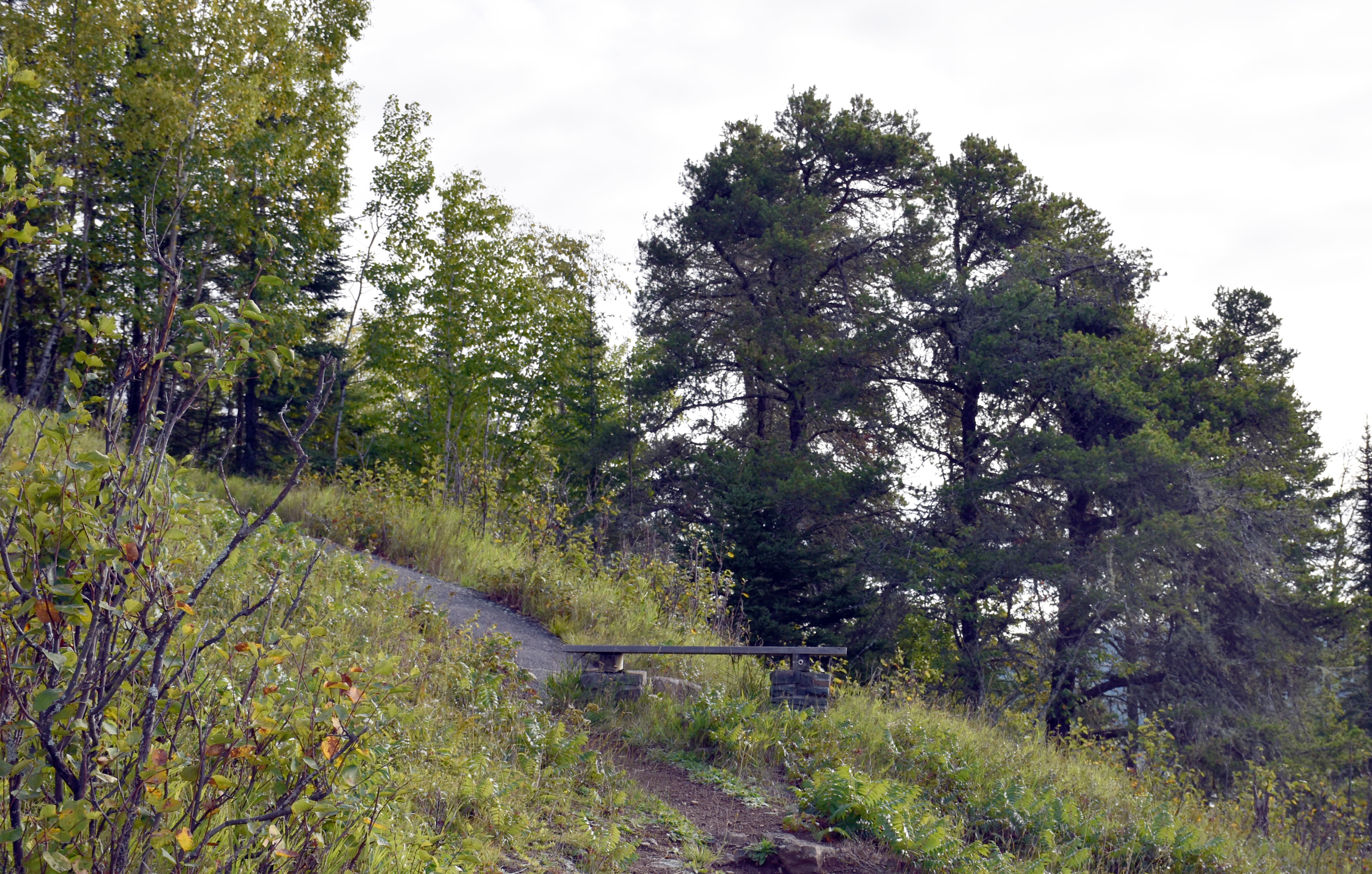 Photo: NPS Photo / GM Spoto
- 0.4 mi
- distance
- 217 ft
- climb
- 865 ft
- high point
- Easy
- difficulty
- May–Sep
- best months
Is Mount Rose Trail Junction open right now?
No closures listed
The National Park Service lists no closures for Grand Portage National Monument.
As of · Source: NPS · Grand Portage National Monument. Agencies don't list every closure — check before you go.
Mount Rose Trail Junction is a short, low-elevation stop in Grand Portage National Monument in northeastern Minnesota, managed by the National Park Service. The junction sits at about 834 feet, and the route rises to 865 feet before descending to 626 feet, with a total gain of 217 feet and a loss of 444 feet over 0.4 miles. The steepest stretch comes at about 0.14 miles, with a grade of 19 percent. Summer is the most comfortable time to visit. Typical averages from a nearby weather station in Grand Portage run to highs around 74°F in July and 73°F in August, with lows near 52°F. Winters are severe, with January highs around 20°F and lows near 1°F. The junction links to several other trails within a short distance. Mount Rose Summit and Mount Rose - Once an Island! are both about 0.1 mile away, and the Mount Rose Trail Depot Overlook is also close by. The Trailhead for Gichi Onigaming, the Grand Portage is about 0.3 mile off.
Local outfitters
- Clearwater Historic Lodge & Canoe Outfitters33 mi away
- NorWester Lodge and Canoe Outfitters38 mi away
Not on Roamze yet. Their page has how to reach them.
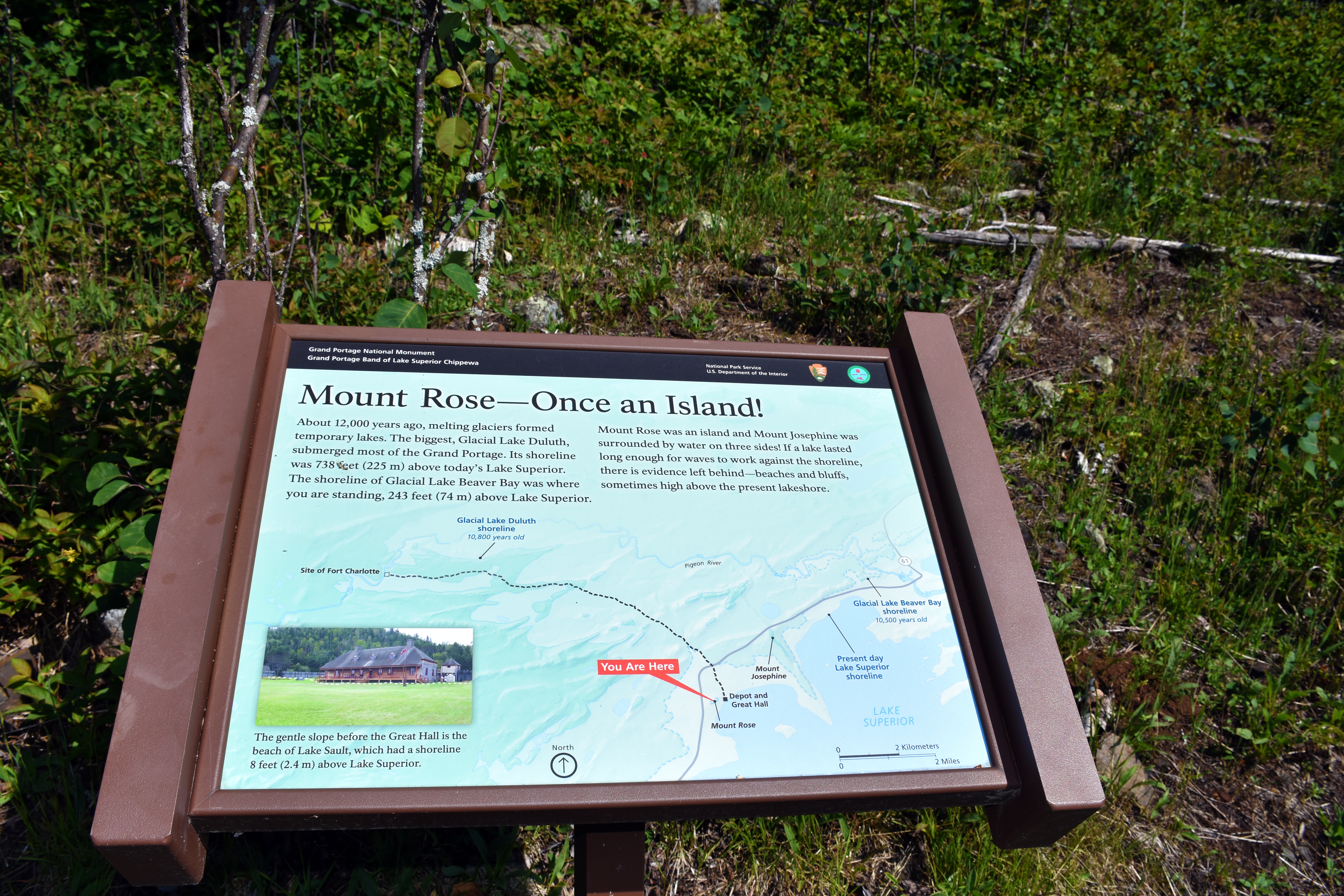 Mount Rose - Once an Island!HikingPhoto: NPS Photo / GM Spoto0.1 mi
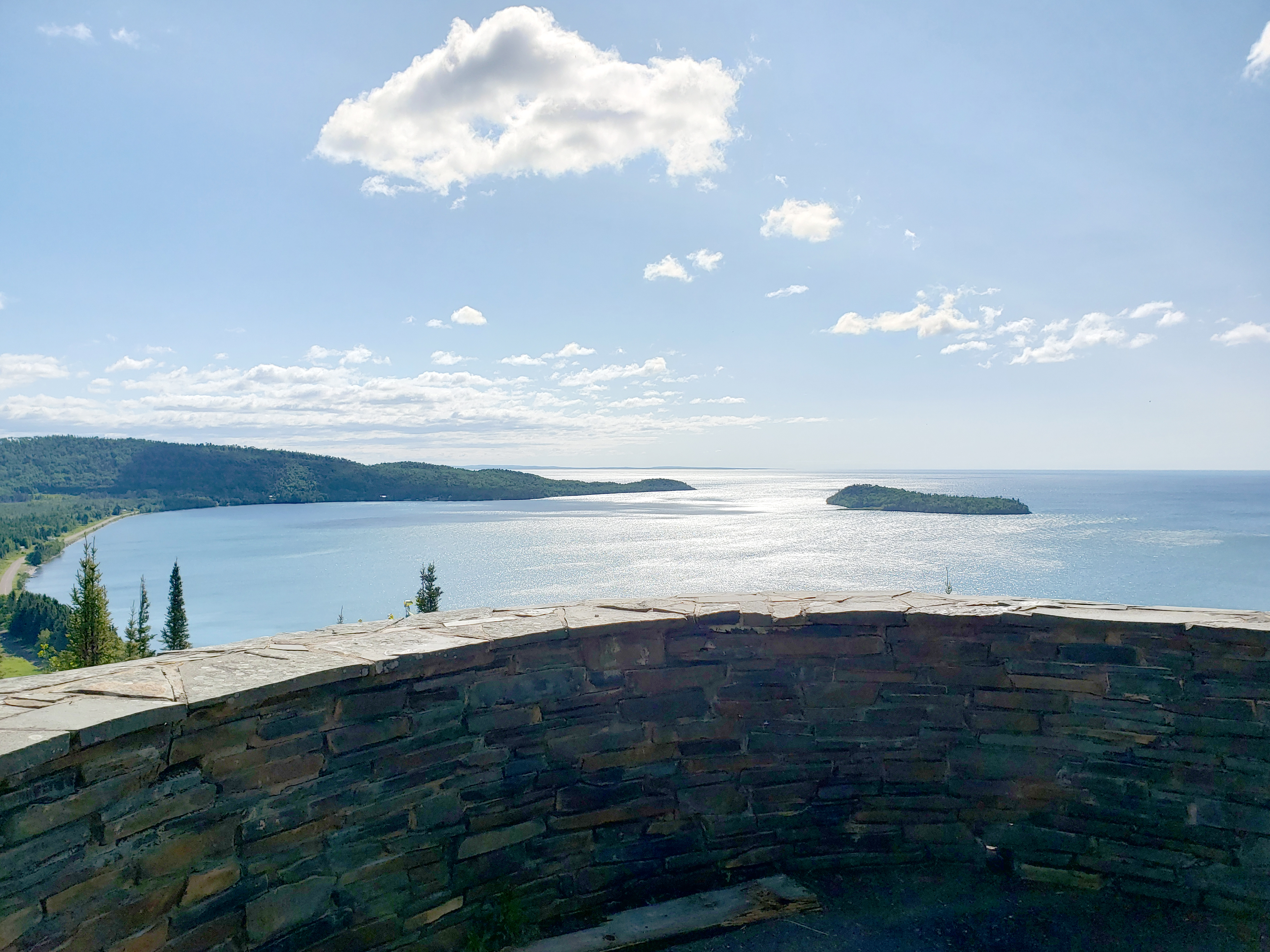 Mount Rose SummitHikingPhoto: NPS Photo / GM Spoto0.1 mi
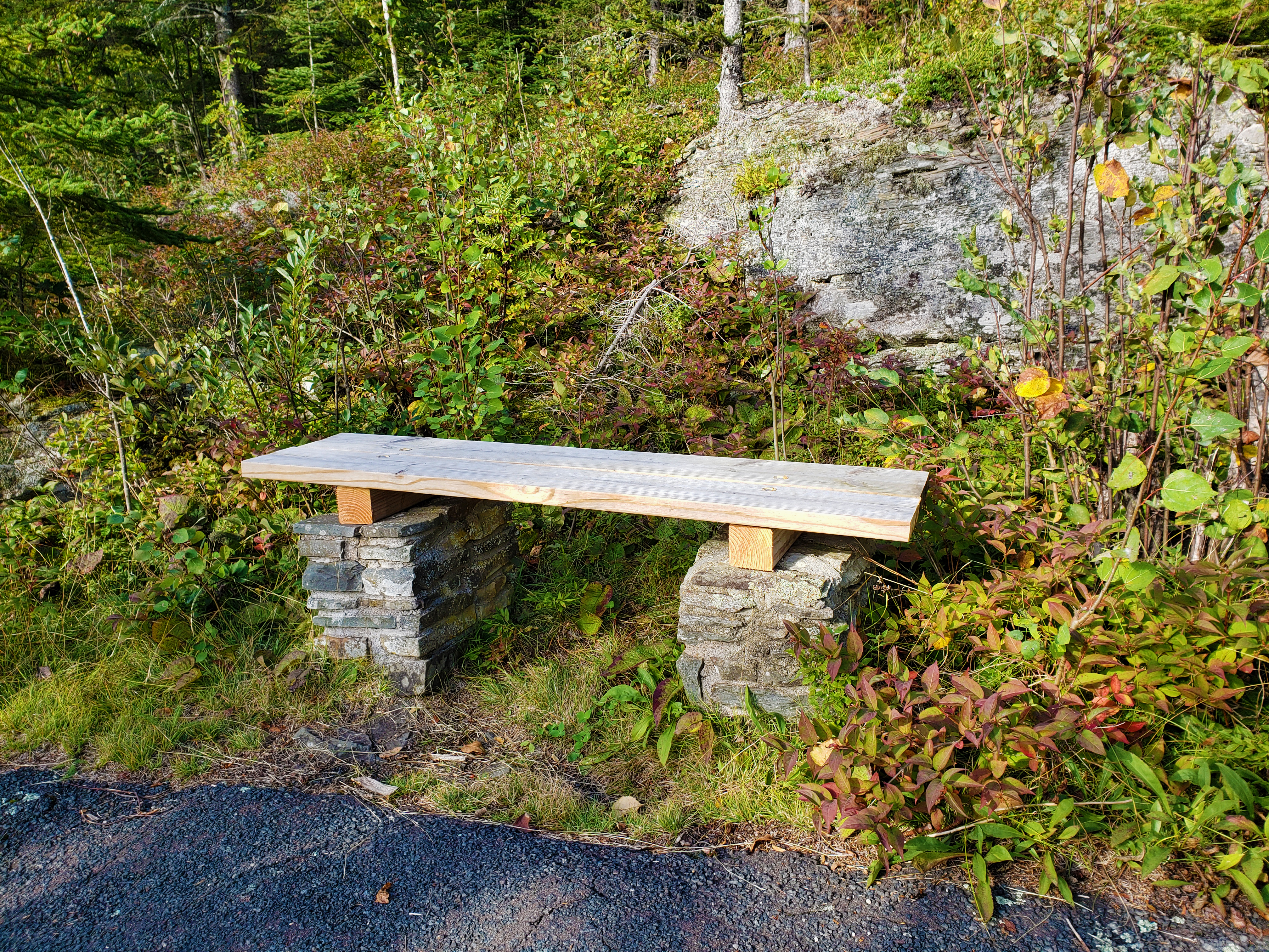 Mount Rose Trail BenchHikingPhoto: NPS Photo / GM Spoto0.1 mi
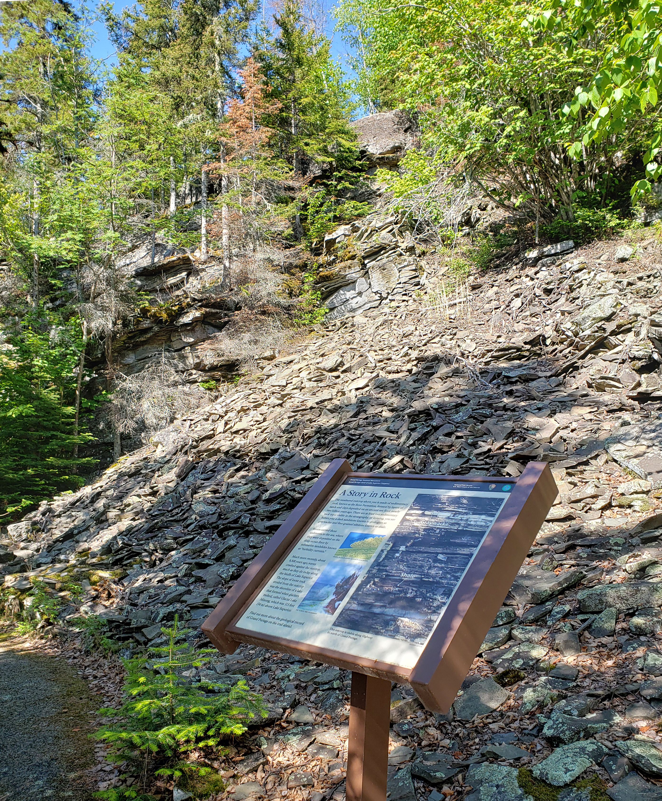 Mount Rose A Story in RockHikingPhoto: NPS Photo / GM Spoto0.1 mi
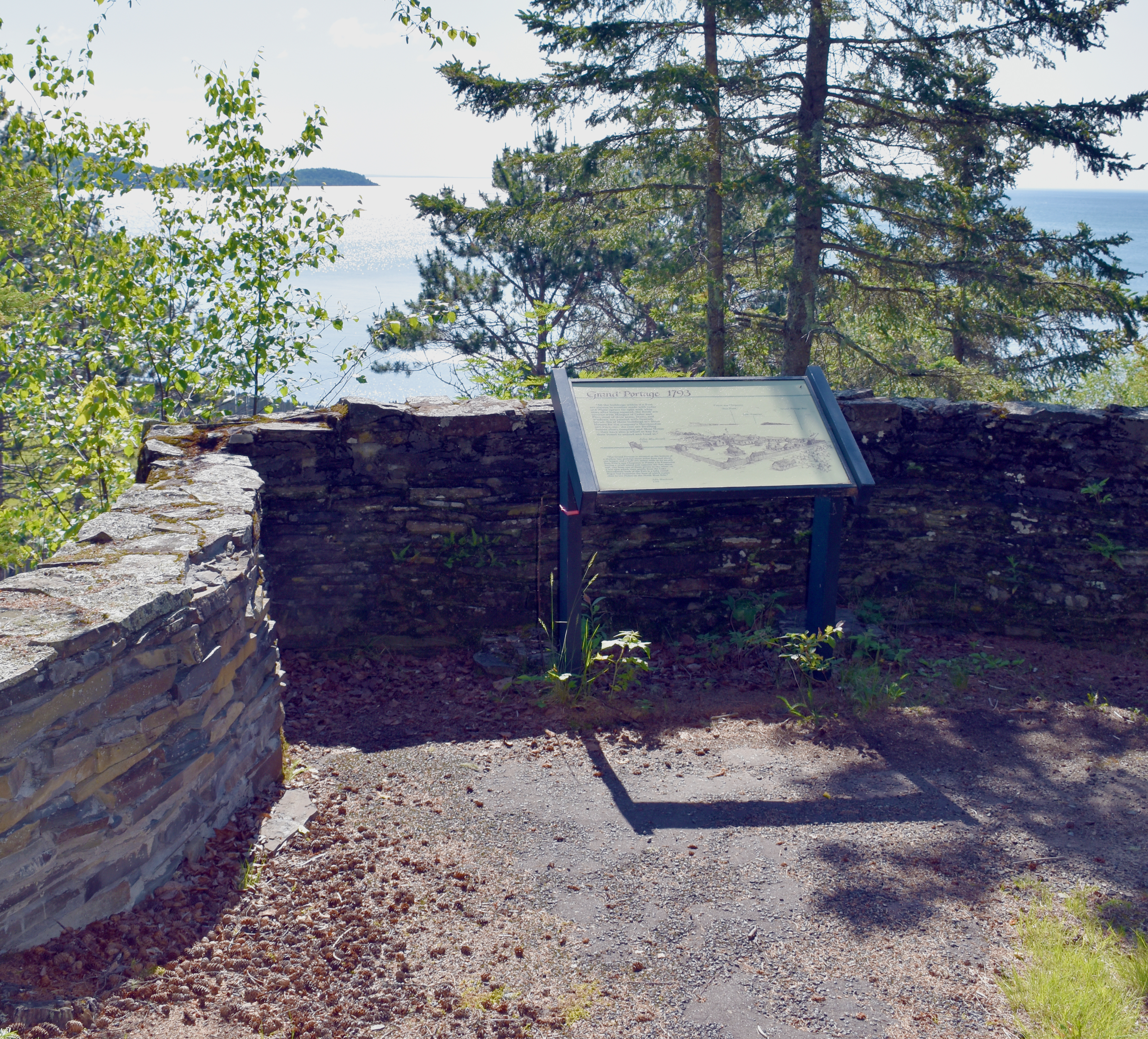 Mount Rose Trail Interpretive OverlookHikingPhoto: NPS Photo / GM Spoto0.1 mi
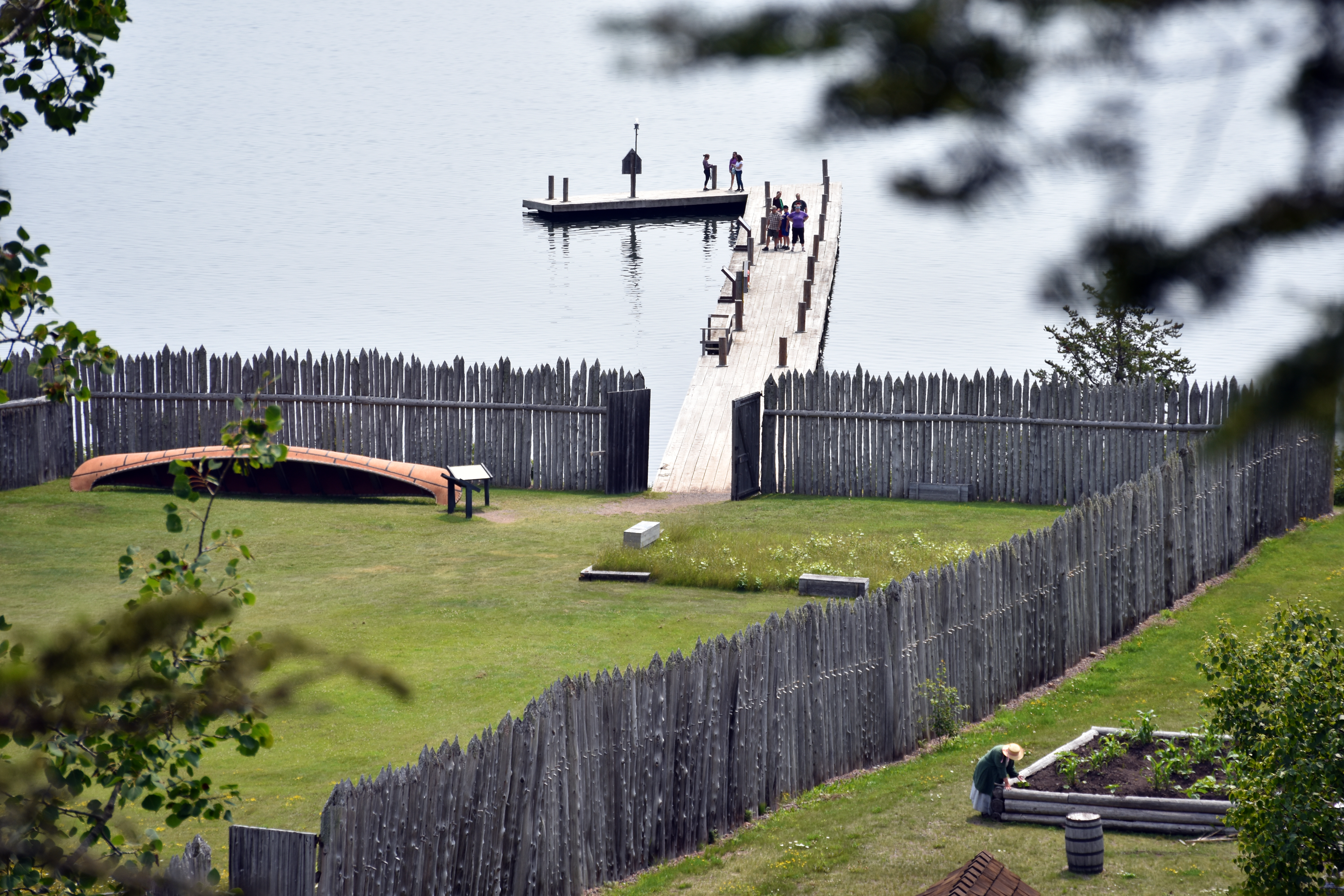 Mount Rose Trail Depot OverlookHikingPhoto: NPS Photo / GM Spoto0.1 mi
 Mount Rose TrailHikingPhoto: Michael A. Orlando, CC BY-SA 3.0 (via Wikimedia Commons)0.2 mi
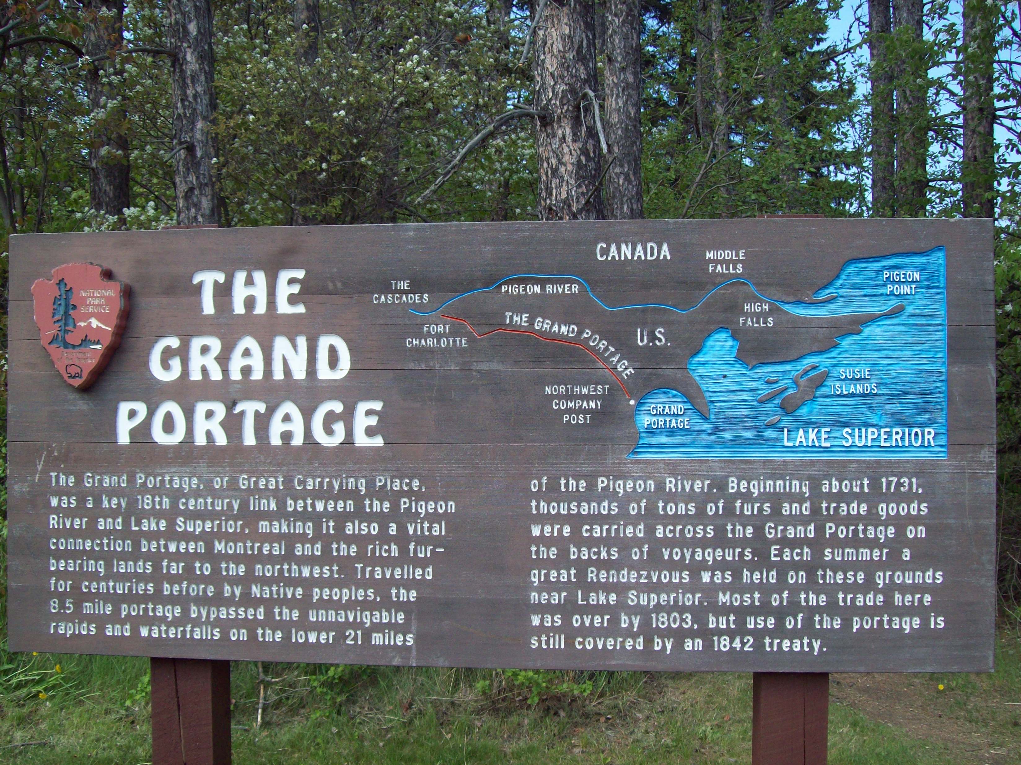 Trailhead for Gichi Onigaming, the Grand PortageHikingPhoto: NPS photo / L. Morrison0.3 mi
Source: Roamze catalog (indexable pages within 10 miles, PostGIS distance)
- Mount Rose - Once an Island!Hiking · Next door
 Feldtmann Lake TrailHiking · ~43 min drivePhoto: Ken Lund, CC BY-SA 2.0 (via Flickr)
- Minong Ridge TrailHiking · ~44 min drivePhoto: Ken Lund, CC BY-SA 2.0 (via Flickr)
- Border Route TrailHiking · ~20 min drive
- Eliason LoopHiking · ~44 min drive
- Mount Rose SummitHiking · Next door
- Hunnigan Cove TrailHiking · ~44 min drivePhoto: Ken Lund, CC BY-SA 2.0 (via Flickr)
- Mount Rose Trail BenchHiking · Next door
- Grand Portage TrailHiking · ~12 min drive
- Mount Rose A Story in RockHiking · Next door
Also worth it near here
- Blazes PathMountain biking · ~1 min drive
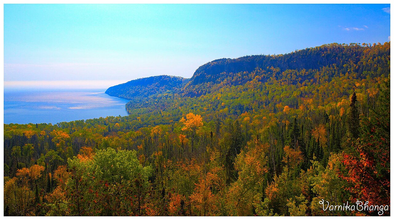 Mount JosephineSummit · ~3 min drivePhoto: Subhrajit rc, CC BY-SA 4.0 (via Wikimedia Commons)
- Hollow RockNatural arch · ~7 min drive
 Middle FallsWaterfall · ~8 min drivePhoto: Good Free Photos, CC BY 3.0 (via Wikimedia Commons)
 Little Trout Bay Boat LaunchBoat launch · ~23 min drivePhoto: Sharon Mollerus, CC BY 2.0 (via Wikimedia Commons)
Best time to visit Mount Rose Trail Junction
Best months: May–September. Best months have typical highs of 55–85 °F, lows of 30 °F or warmer (32 °F where the station doesn't record snow), at most one snowy day and no more than 12 wet days.
Jan
20° / 1°
9 wet
Feb
24° / 2°
6 wet
Mar
34° / 13°
7 wet
Apr
45° / 26°
9 wet
May
58° / 37°
11 wet
Jun
68° / 46°
12 wet
Jul
74° / 52°
11 wet
Aug
73° / 52°
11 wet
Sep
65° / 44°
11 wet
Oct
51° / 33°
11 wet
Nov
38° / 22°
9 wet
Dec
26° / 9°
9 wet
Typical high / low (°F) and days with rain or snow, 1991–2020. Measured at Grand Portage, MN, 0.6 mi away at 730 ft. This station doesn't record snowfall. Source: NOAA NCEI U.S. Climate Normals 1991–2020.
Route details
- Distance
- 0.4 mi
- Climbing
- About 217 ft
- Summit
- 904 ft
- Difficulty
- Easy
- Time
- About 0.5 hours
Other routes up Mount Rose
Questions about this route
How long is the Mount Rose Trail Junction on Mount Rose?
About 0.4 mi.
How much elevation gain is on the Mount Rose Trail Junction?
About 217 ft of climbing round trip.
How hard is the Mount Rose Trail Junction?
It is rated easy.
How long does the Mount Rose Trail Junction take?
About 0.5 hours round trip.
How many routes go up Mount Rose?
8: Mount Rose - Once an Island!, Mount Rose A Story in Rock, Mount Rose Summit, Mount Rose Trail Bench, Mount Rose Trail Depot Overlook, Mount Rose Trail Interpretive Overlook, Mount Rose Trail Junction and Mount Rose Trail.
Conditions and forecast on Mount Rose
Daily highs and lows, wind and the chance of precipitation at the summit and route start for the next 7 days, from the Open-Meteo model.
