Grand Portage Trail
- 8.4 mi
- one way
- 902 ft
- climb
- 1,352 ft
- high point
- Point to point
- route
- May–Sep
- best months
Is Grand Portage Trail open right now?
No closures listed
The National Park Service lists no closures for Grand Portage National Monument.
As of · Source: NPS · Grand Portage National Monument. Agencies don't list every closure — check before you go.
Grand Portage Trail is an 8.4-mile moderate hike in Grand Portage National Monument in northeastern Minnesota, on land managed by the Bureau of Indian Affairs. The route rises from about 617 feet to about 1,352 feet, with a total elevation gain of 902 feet. Summer is the most comfortable time to go. Typical averages from a nearby weather station in Grand Portage, Minnesota, run to highs around 74°F in July, with lows near 52°F. That station sits about 600 feet lower than the trail's high point, so temperatures on the higher ground run cooler. Bikes are not allowed on this trail. The closest nearby options are Grand Portage Highest Point, about 1.3 miles away, and Meadow on the Grand Portage, about 2.1 miles away. Farther out, Blazes Path offers mountain biking about 6.9 miles away, and Mount Rose Summit lies about 7.1 miles away.
Local outfitters
- Clearwater Historic Lodge & Canoe Outfitters26 mi away
- NorWester Lodge and Canoe Outfitters31 mi away
Not on Roamze yet. Their page has how to reach them.
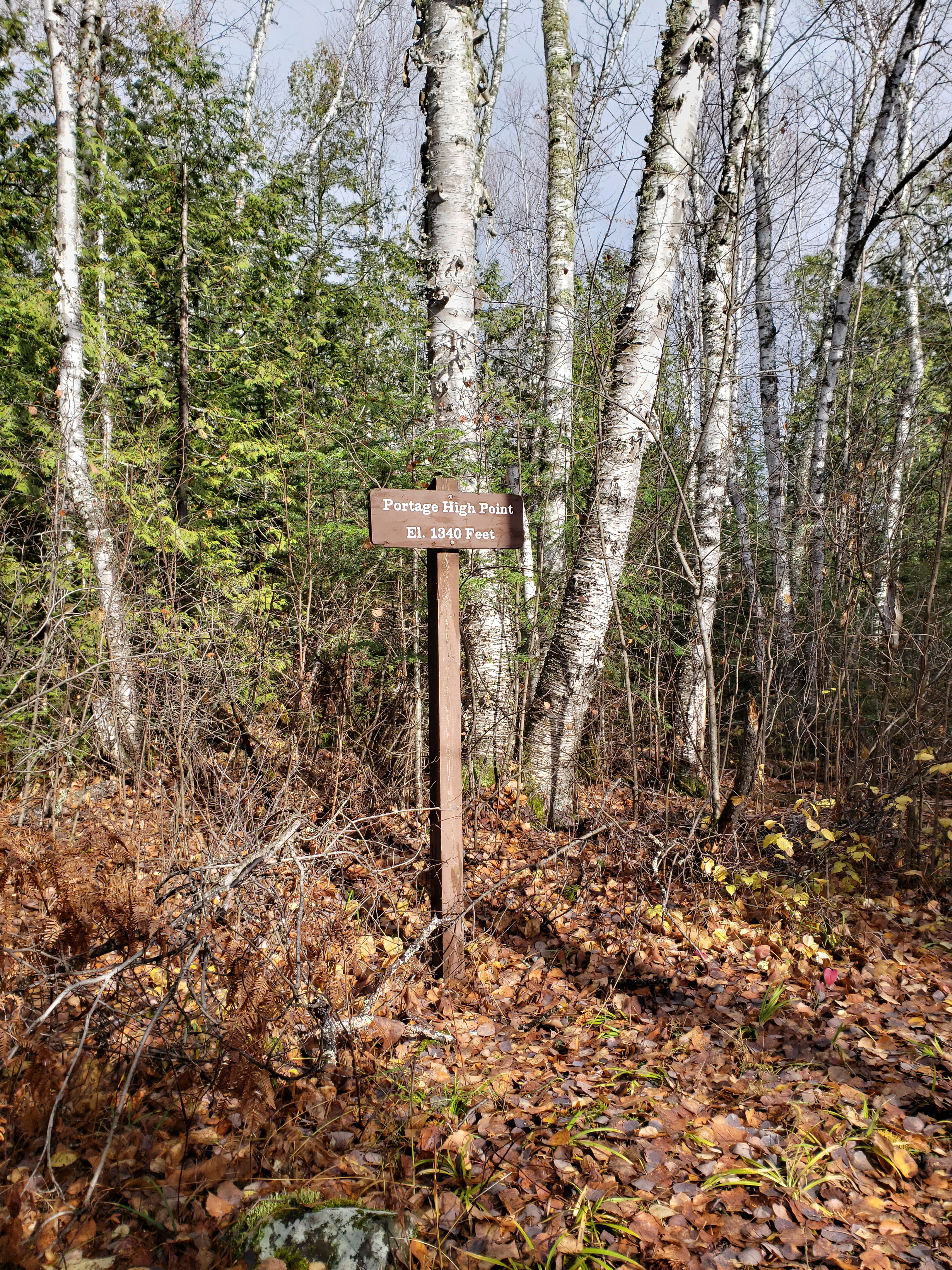 Grand Portage Highest PointHikingPhoto: NPS photo / G.M. Spoto1.3 mi
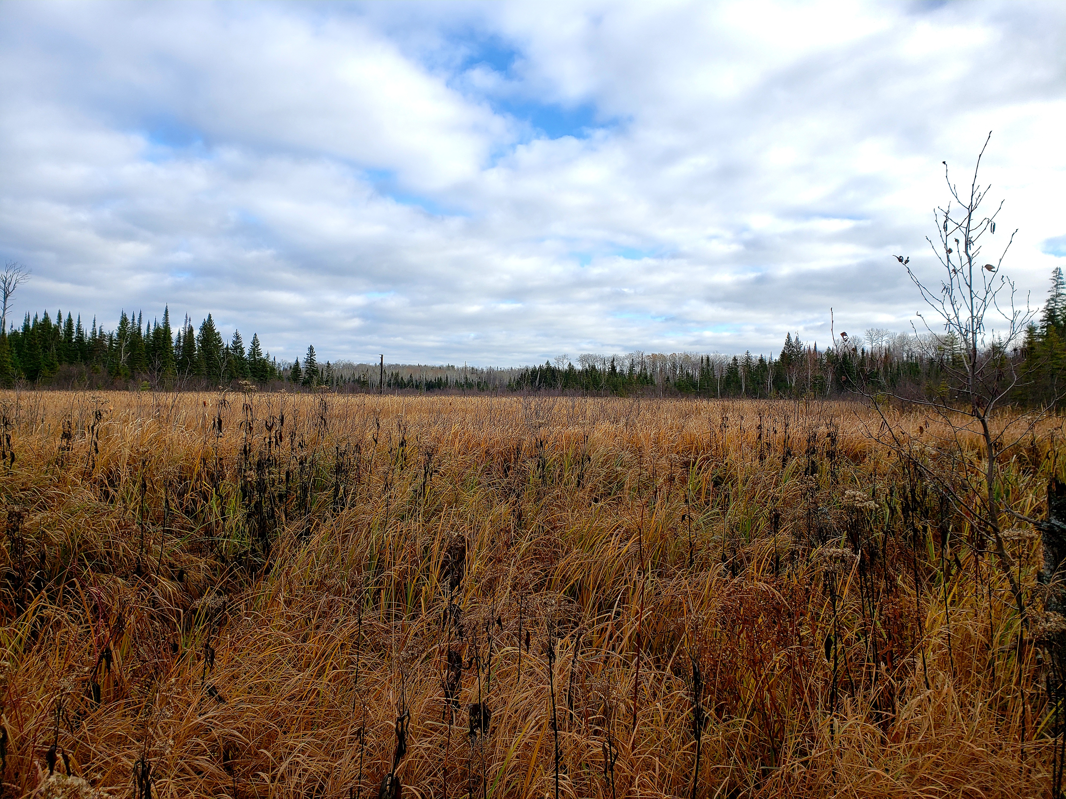 Meadow on the Grand PortageHikingPhoto: NPS photo / G.M. Spoto2.1 mi
- Blazes PathMountain biking6.9 mi
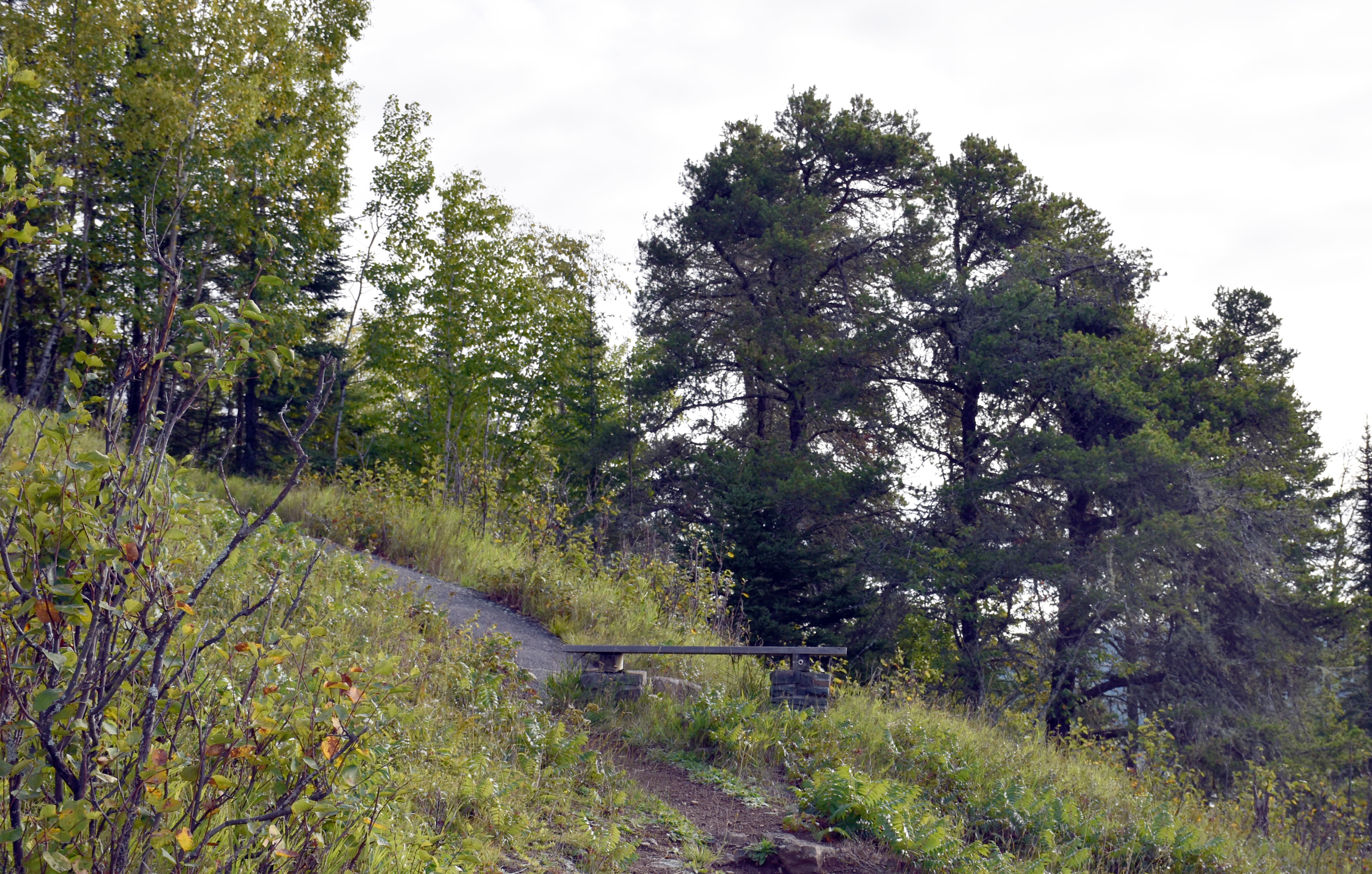 Mount Rose Trail JunctionHikingPhoto: NPS Photo / GM Spoto7.1 mi
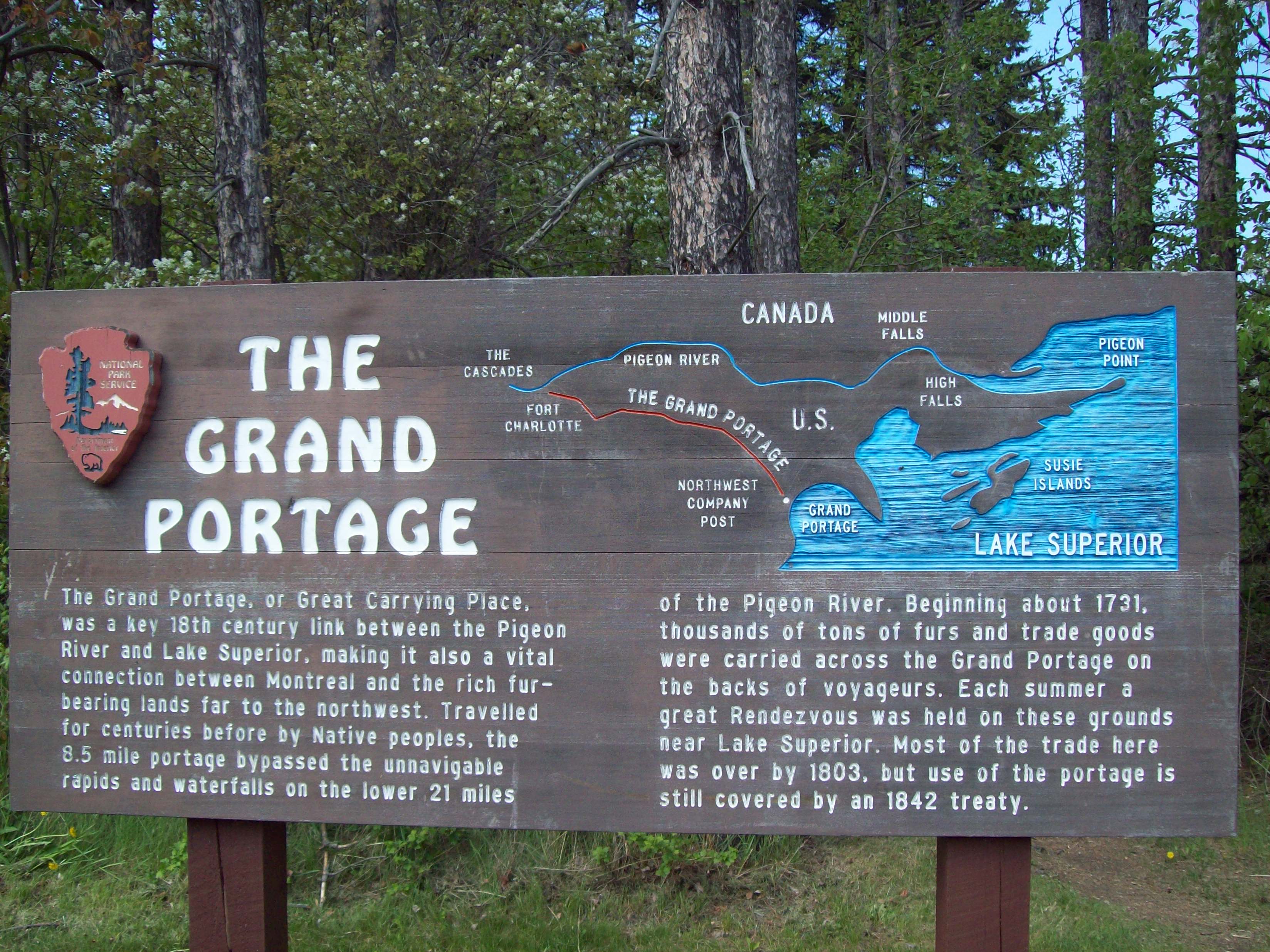 Trailhead for Gichi Onigaming, the Grand PortageHikingPhoto: NPS photo / L. Morrison7.1 mi
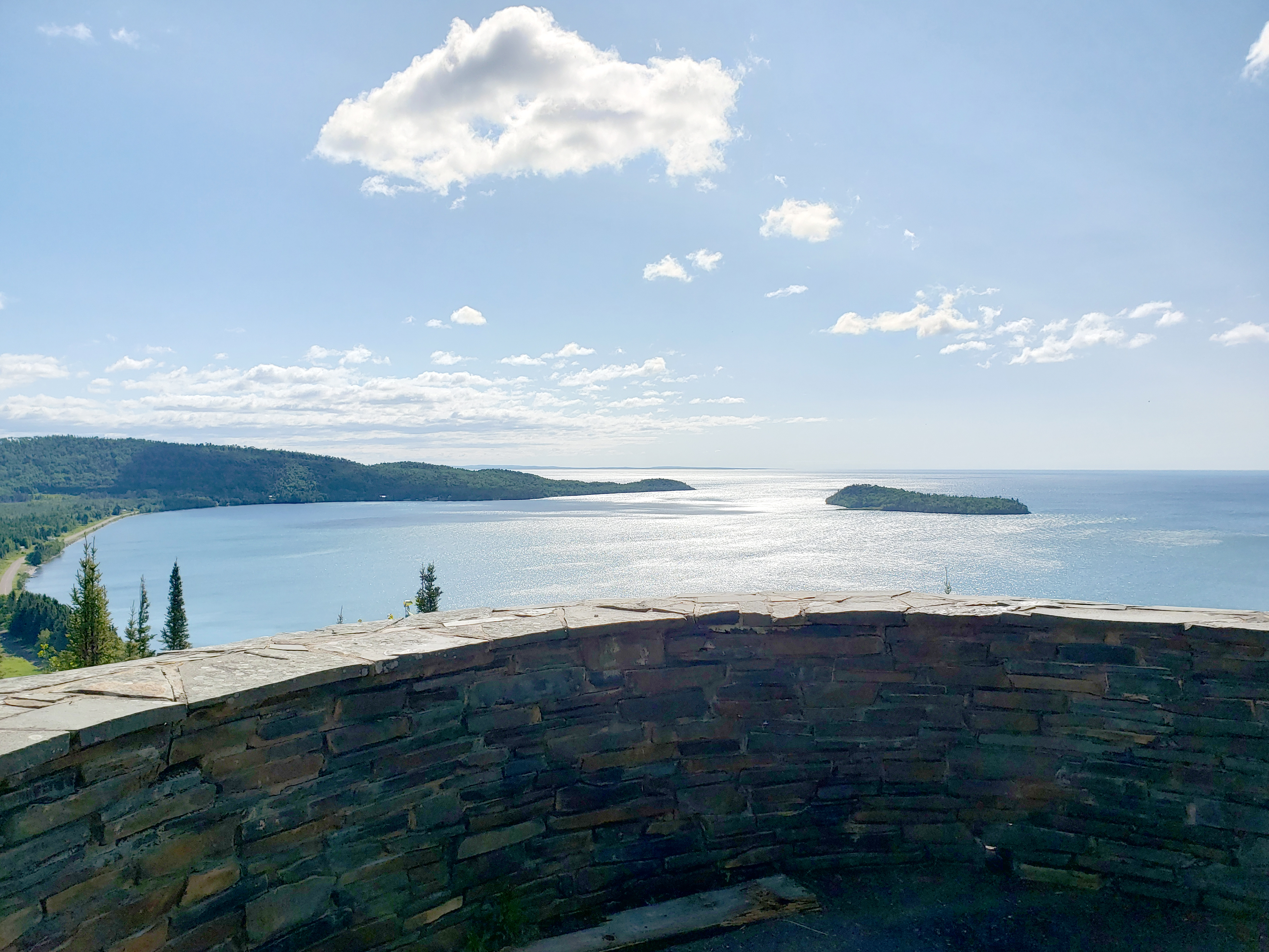 Mount Rose SummitHikingPhoto: NPS Photo / GM Spoto7.1 mi
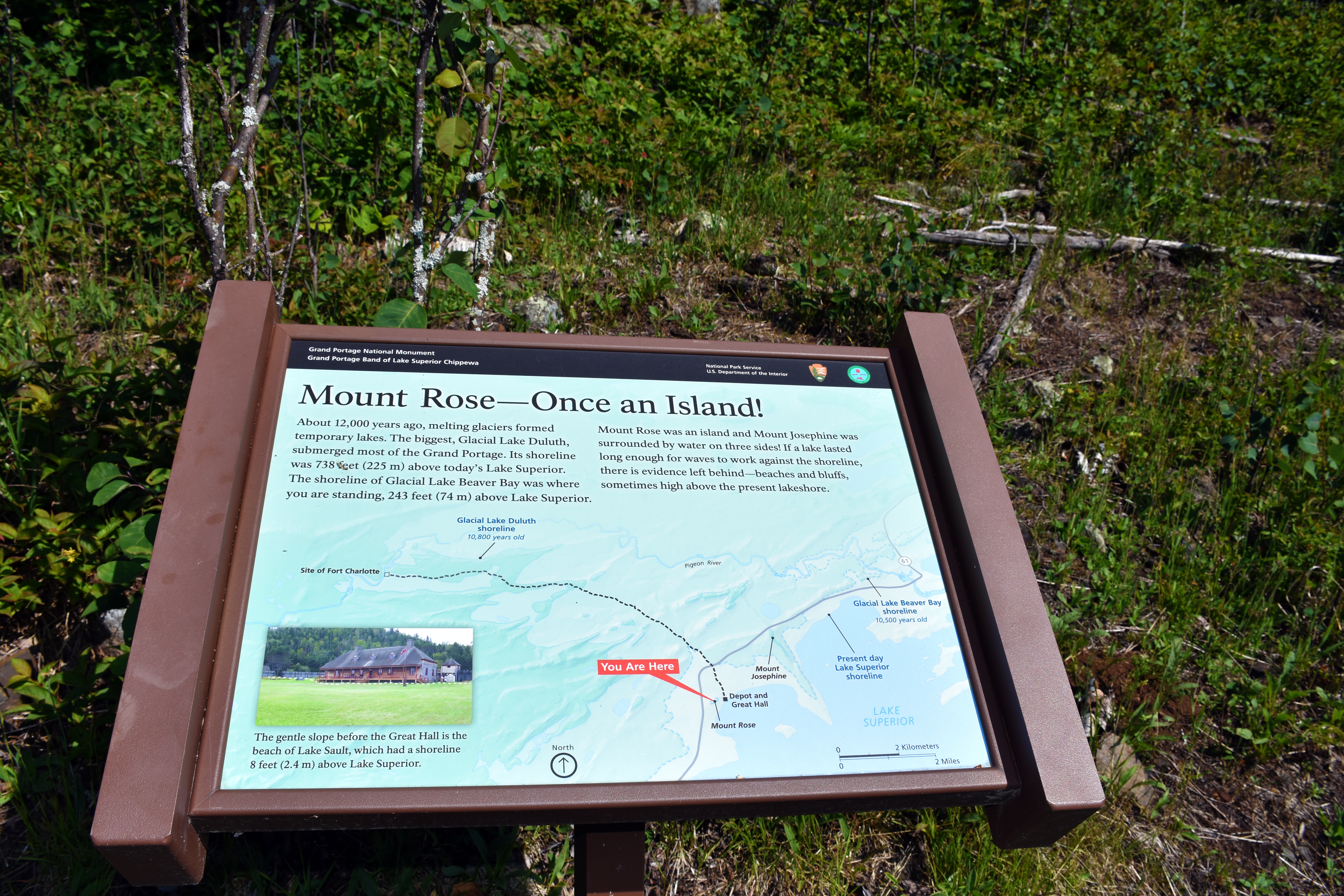 Mount Rose - Once an Island!HikingPhoto: NPS Photo / GM Spoto7.1 mi
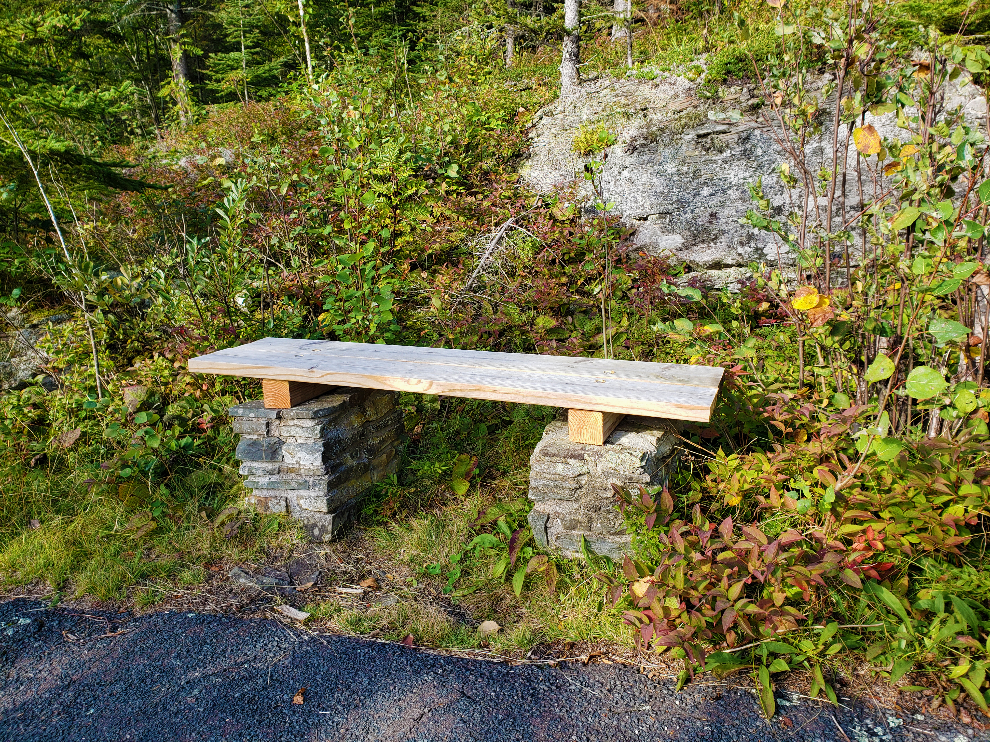 Mount Rose Trail BenchHikingPhoto: NPS Photo / GM Spoto7.2 mi
Source: Roamze catalog (indexable pages within 10 miles, PostGIS distance)
- Grand Portage Highest PointHiking · ~2 min drive
- Border Route TrailHiking · ~9 min drive
- Kadunce Hunter WalkingHiking · ~32 min drive
- Meadow on the Grand PortageHiking · ~4 min drive
- Mount Rose Trail JunctionHiking · ~12 min drive
- Trailhead for Gichi Onigaming, the Grand PortageHiking · ~12 min drive
- Mount Rose SummitHiking · ~12 min drive
- Mount Rose - Once an Island!Hiking · ~12 min drive
- Mount Rose Trail BenchHiking · ~12 min drive
- Mount Rose Trail Depot OverlookHiking · ~12 min drive
Also worth it near here
- Blazes PathMountain biking · ~12 min drive
- Hollow RockNatural arch · ~12 min drive
- Pigeon RiverCanoeing · ~13 min drive
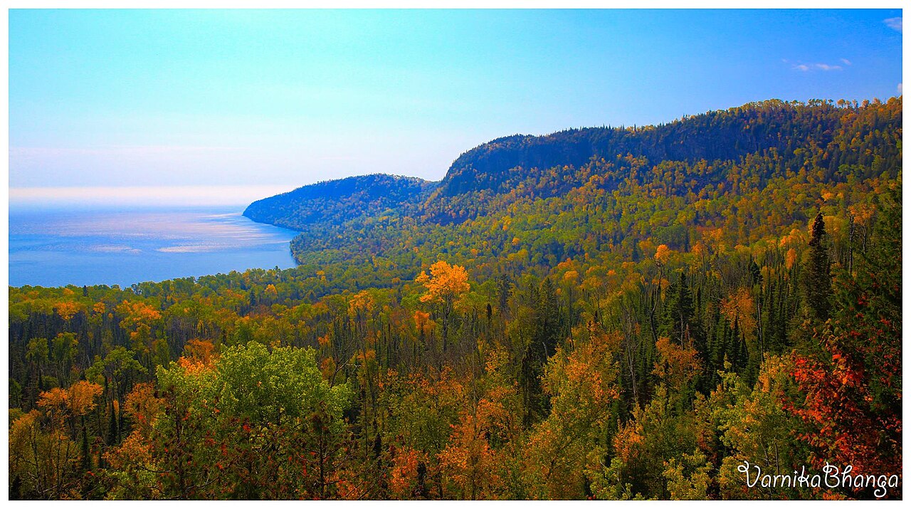 Mount JosephineSummit · ~14 min drivePhoto: Subhrajit rc, CC BY-SA 4.0 (via Wikimedia Commons)
 Middle FallsWaterfall · ~17 min drivePhoto: Good Free Photos, CC BY 3.0 (via Wikimedia Commons)
Best time to visit Grand Portage Trail
Best months: May–September. Best months have typical highs of 55–85 °F, lows of 30 °F or warmer (32 °F where the station doesn't record snow), at most one snowy day and no more than 12 wet days.
Jan
20° / 1°
9 wet
Feb
24° / 2°
6 wet
Mar
34° / 13°
7 wet
Apr
45° / 26°
9 wet
May
58° / 37°
11 wet
Jun
68° / 46°
12 wet
Jul
74° / 52°
11 wet
Aug
73° / 52°
11 wet
Sep
65° / 44°
11 wet
Oct
51° / 33°
11 wet
Nov
38° / 22°
9 wet
Dec
26° / 9°
9 wet
Typical high / low (°F) and days with rain or snow, 1991–2020. Measured at Grand Portage, MN, 6.8 mi away at 730 ft. The station sits about 600 ft lower than this place, so expect it a little cooler here. This station doesn't record snowfall. Source: NOAA NCEI U.S. Climate Normals 1991–2020.
Map and trail data © OpenStreetMap contributors
