Blazes Path
- 0.2 mi
- distance
- 26 ft
- climb
- Mixed
- surface
- May–Sep
- best months
Blazes Path is a short mountain biking route in Minnesota, about 0.8 miles from the town of Grand Portage. The Bureau of Indian Affairs manages the land. The trail is 0.17 miles long, with a total elevation gain of 26 feet, and it is rated moderate. The climb is brief. The route starts at about 699 feet and reaches a high point of 702 feet, with the steepest stretch at 0.08 miles in, where the grade is about 2%. The total loss is 20 feet, so the route is nearly flat overall. Summer is the most comfortable time to ride. Typical averages from a nearby weather station in Grand Portage show July highs around 74°F with lows near 52°F, while winter highs stay in the 20s. The Mount Rose Trail lies about 0.6 miles away, and the Mount Rose Summit and Mount Rose Trail Depot Overlook are each about 0.7 miles off.
 Mount Rose TrailHikingPhoto: Michael A. Orlando, CC BY-SA 3.0 (via Wikimedia Commons)0.6 mi
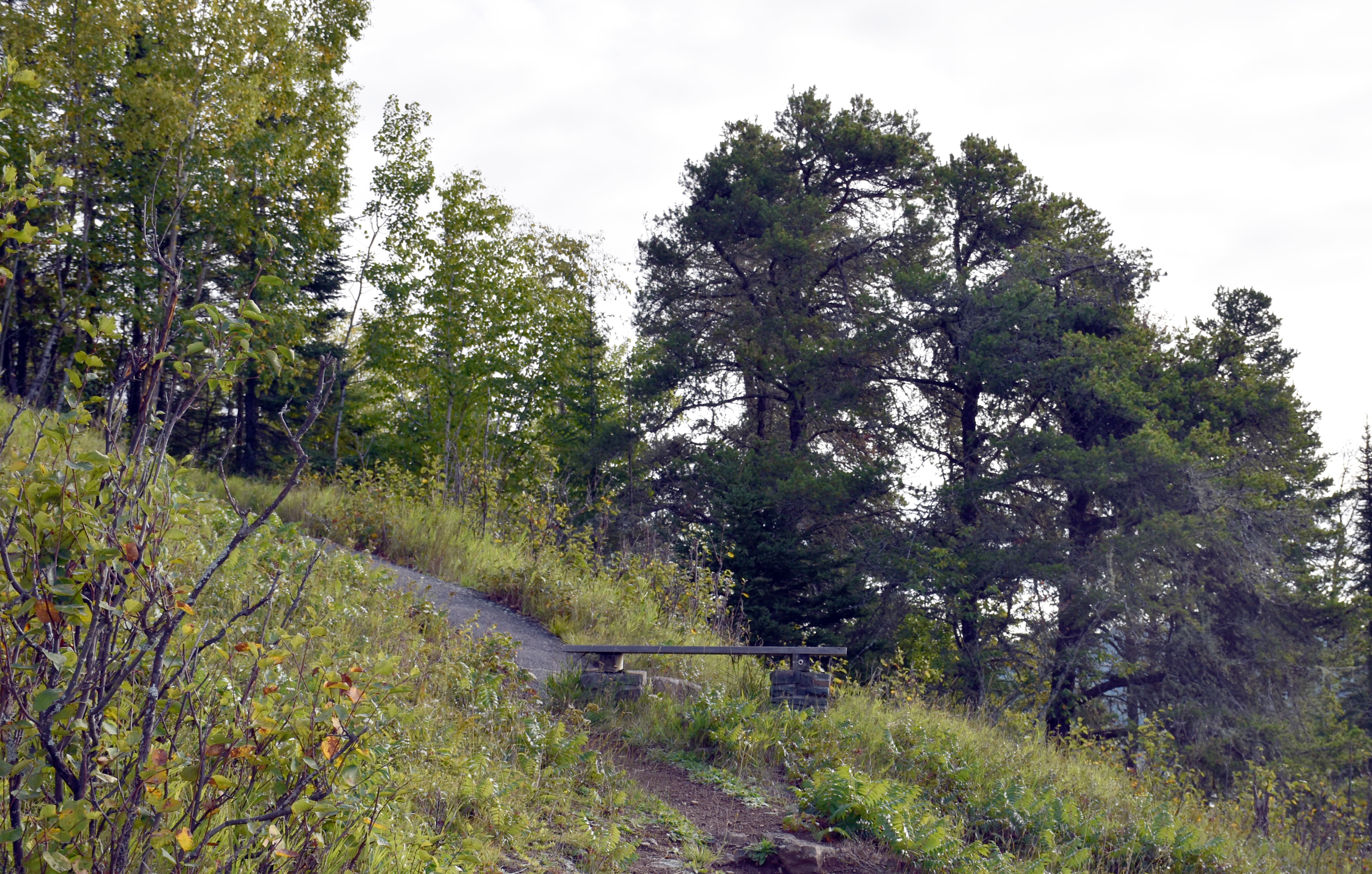 Mount Rose Trail JunctionHikingPhoto: NPS Photo / GM Spoto0.6 mi
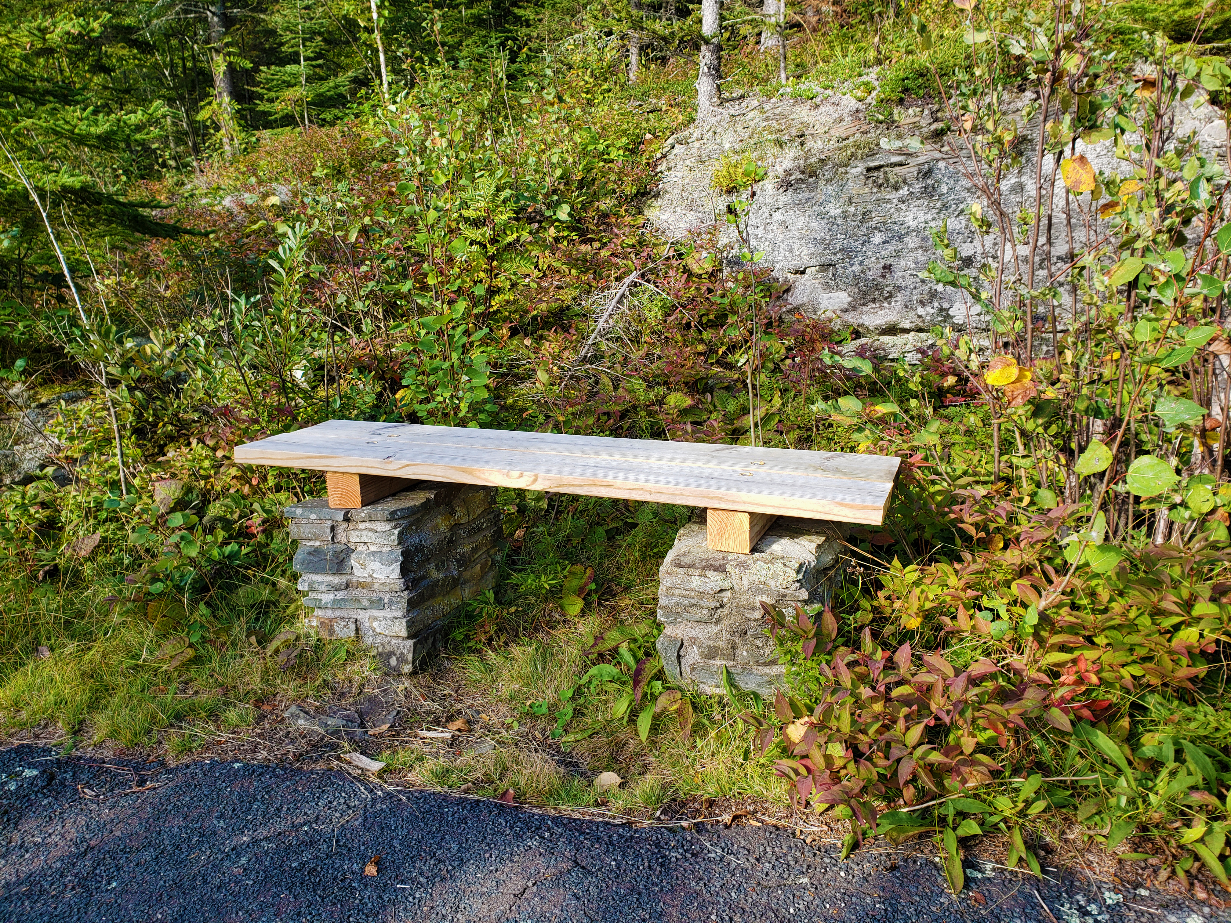 Mount Rose Trail BenchHikingPhoto: NPS Photo / GM Spoto0.7 mi
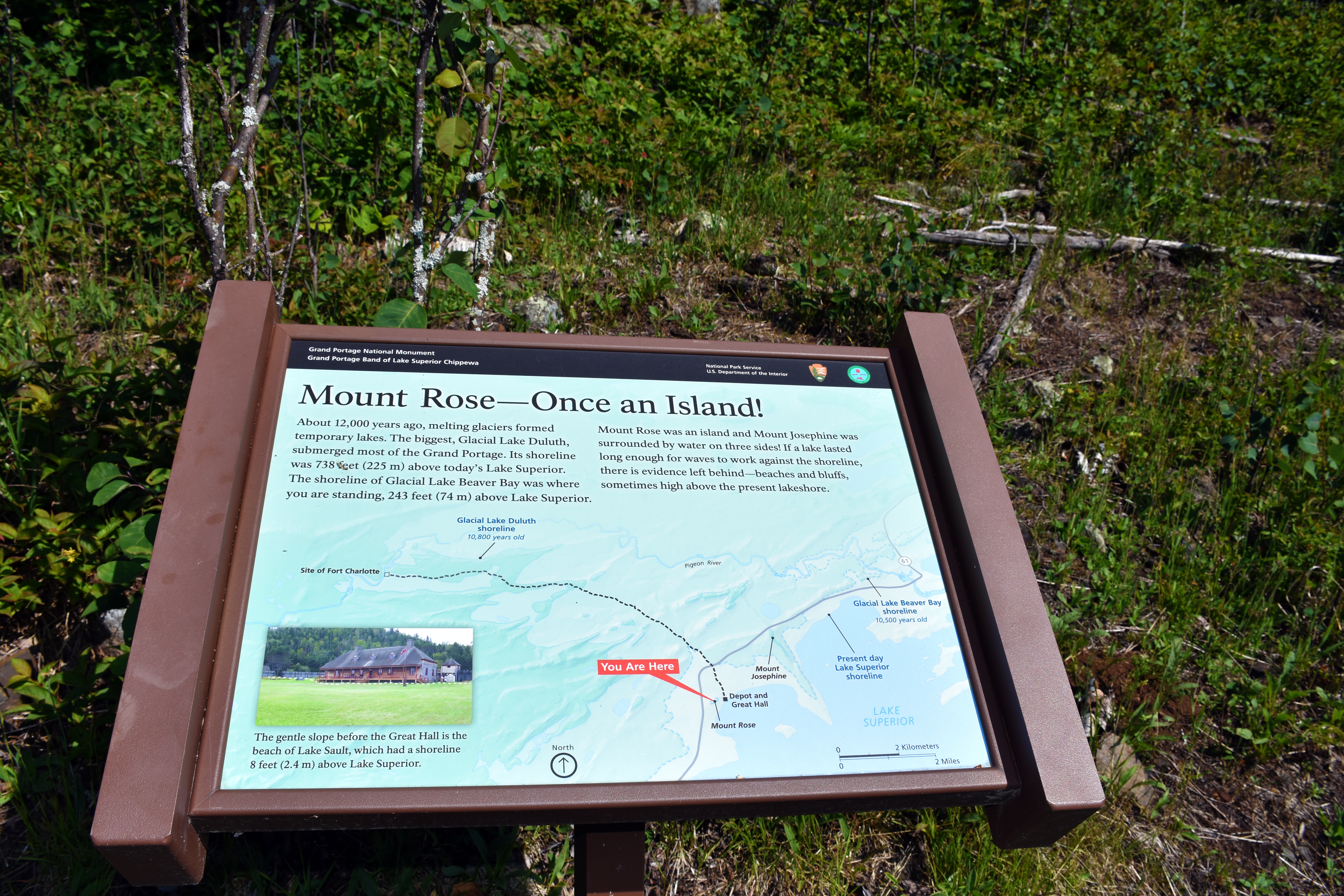 Mount Rose - Once an Island!HikingPhoto: NPS Photo / GM Spoto0.7 mi
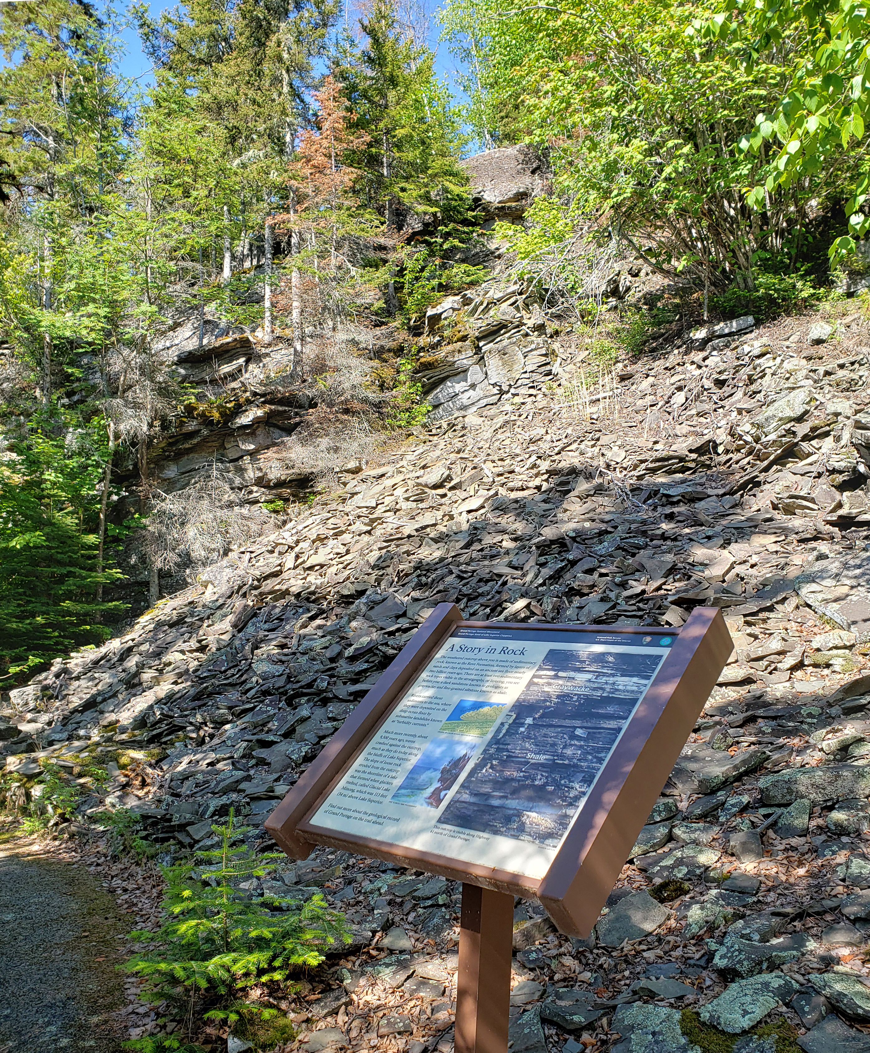 Mount Rose A Story in RockHikingPhoto: NPS Photo / GM Spoto0.7 mi
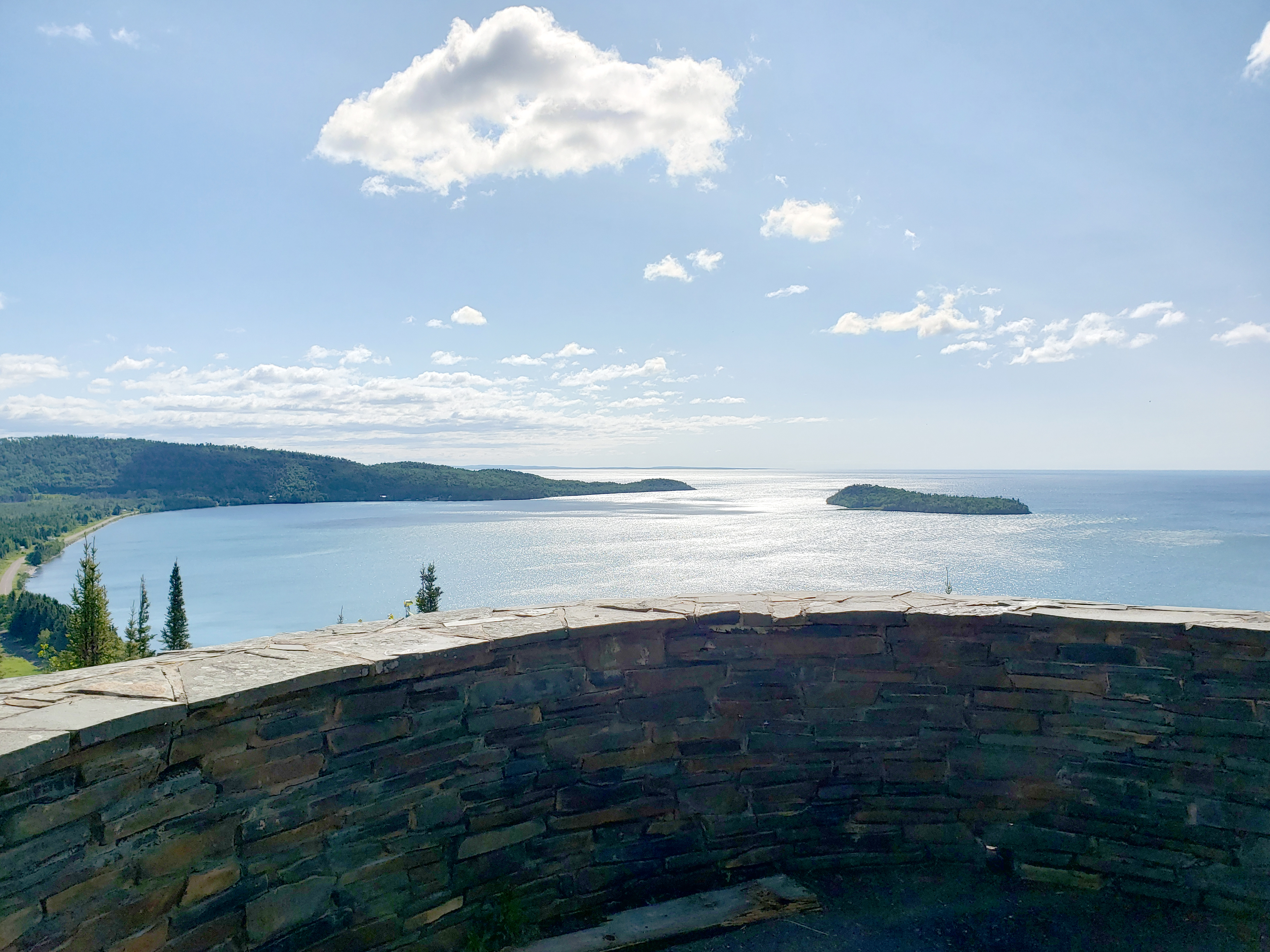 Mount Rose SummitHikingPhoto: NPS Photo / GM Spoto0.7 mi
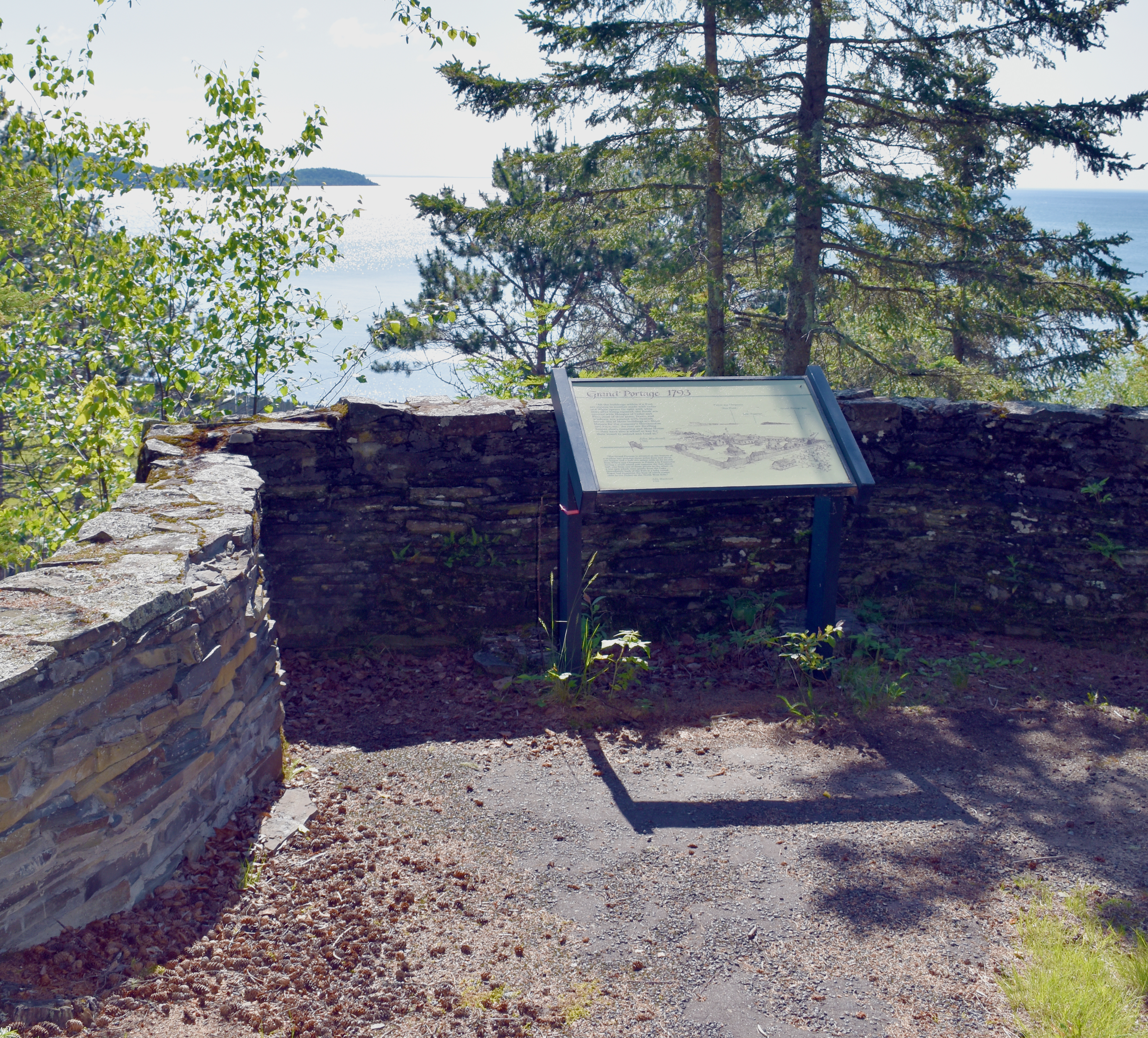 Mount Rose Trail Interpretive OverlookHikingPhoto: NPS Photo / GM Spoto0.7 mi
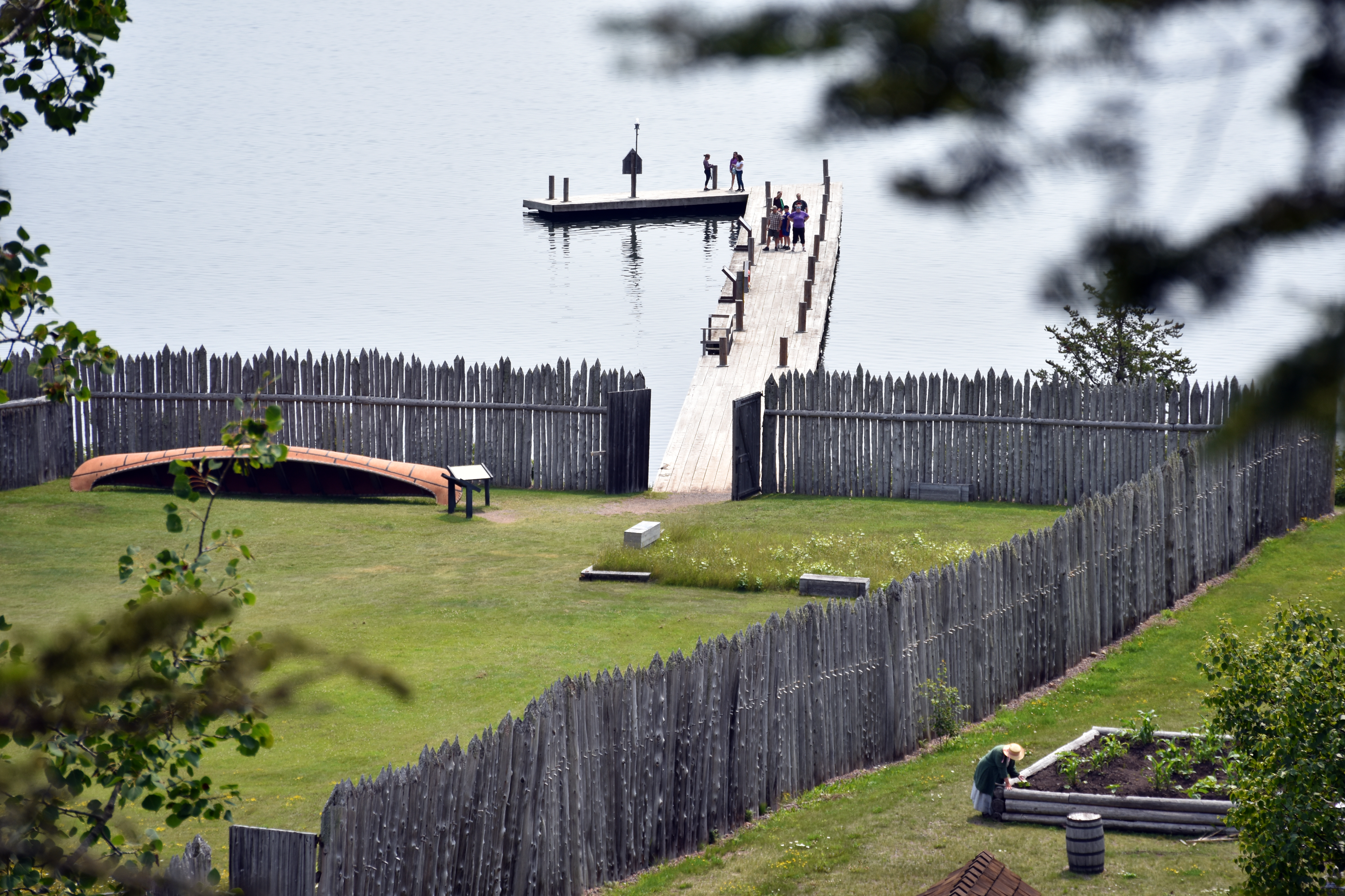 Mount Rose Trail Depot OverlookHikingPhoto: NPS Photo / GM Spoto0.7 mi
Source: Roamze catalog (indexable pages within 10 miles, PostGIS distance)
 McVickers Creek TrailMountain biking · ~1h 9m drivePhoto: Derek Hatfield from Peterborough, Canada, CC BY 2.0 (via Wikimedia Commons)
- Eliason LoopMountain biking · ~43 min drive
- Canadian Shield TrailMountain biking · ~52 min drive
- Orange TrailMountain biking · ~1h 14m drive
- Moose TrailMountain biking · ~1h 16m drive
- Fluvial Bike PincushionMountain biking · ~52 min drive
- Red TrailMountain biking · ~1h 14m drive
- Till-Ta-Whirl Bike PincushionMountain biking · ~54 min drive
- Kabeyun TrailMountain biking · ~1h 17m drive
- Talus Bike PincushionMountain biking · ~54 min drive
Also worth it near here
- Mount Rose TrailHiking · Next doorPhoto: Michael A. Orlando, CC BY-SA 3.0 (via Wikimedia Commons)
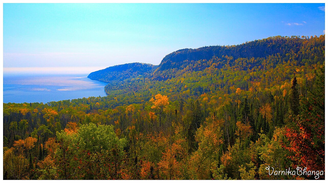 Mount JosephineSummit · ~4 min drivePhoto: Subhrajit rc, CC BY-SA 4.0 (via Wikimedia Commons)
- Hollow RockNatural arch · ~6 min drive
 Middle FallsWaterfall · ~10 min drivePhoto: Good Free Photos, CC BY 3.0 (via Wikimedia Commons)
- Horseshoe Bay Boat Launch BeachBeach · ~23 min drive
Best time to visit Blazes Path
Best months: May–September. Best months have typical highs of 55–85 °F, lows of 30 °F or warmer (32 °F where the station doesn't record snow), at most one snowy day and no more than 12 wet days.
Jan
20° / 1°
9 wet
Feb
24° / 2°
6 wet
Mar
34° / 13°
7 wet
Apr
45° / 26°
9 wet
May
58° / 37°
11 wet
Jun
68° / 46°
12 wet
Jul
74° / 52°
11 wet
Aug
73° / 52°
11 wet
Sep
65° / 44°
11 wet
Oct
51° / 33°
11 wet
Nov
38° / 22°
9 wet
Dec
26° / 9°
9 wet
Typical high / low (°F) and days with rain or snow, 1991–2020. Measured at Grand Portage, MN, 1.1 mi away at 730 ft. This station doesn't record snowfall. Source: NOAA NCEI U.S. Climate Normals 1991–2020.
Map and trail data © OpenStreetMap contributors
