Shaver Campground
- Apr, Jun–Oct
- best months
Clear at last check
Weather is good · OpenWeather · checked 20 h ago
- At 945 ft
- Marina - Beach Park
Shaver Campground is a campground in Minnesota at about 945 feet.
Best time to go · Apr, Jun–Oct
Best time to visit Shaver Campground
Best months: April and June–October. Best months have typical highs of 55–85 °F, lows of 30 °F or warmer (32 °F where the station doesn't record snow), at most one snowy day and no more than 12 wet days.
Jan
24° / 7°
10 wet
Feb
29° / 11°
8 wet
Mar
42° / 23°
9 wet
Apr
57° / 35°
11 wet
May
69° / 48°
13 wet
Jun
78° / 58°
12 wet
Jul
82° / 63°
11 wet
Aug
80° / 61°
9 wet
Sep
72° / 52°
10 wet
Oct
57° / 39°
10 wet
Nov
41° / 26°
9 wet
Dec
28° / 14°
10 wet
Typical high / low (°F) and days with rain or snow, 1991–2020. Measured at New Hope, MN, 7.5 mi away at 910 ft. This station doesn't record snowfall. Source: NOAA NCEI U.S. Climate Normals 1991–2020.
Keep exploring — more campsites worth the drive
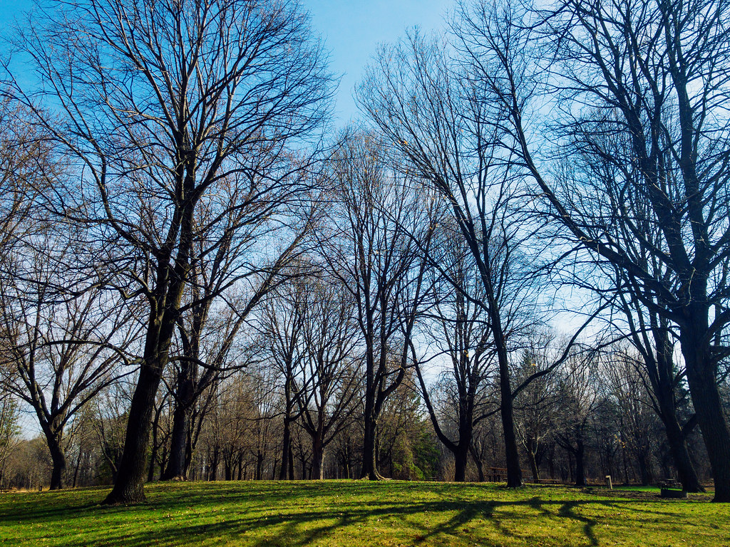 Photo: Tony Webster — CC BY 2.0 (via Flickr)
Baker Park Reserve Campground
~12 min drive
BED
Big Island
~5 min drive
Big Island is a campground in Minnesota.
BED
Oak Knoll Group Camp
~11 min drive
Oak Knoll Group Camp is a campground in Minnesota at about 1,010 feet.
BED
Halfmoon Group Camps
~12 min drive
Halfmoon Group Camps is a campground in Minnesota at about 985 feet.
BED
lake auburn campground
~18 min drive
lake auburn campground is a campground in Minnesota at about 959 feet, with 57 sites. It is managed by the state natural resources department.
BED
KOA Kampground
~21 min drive
KOA Kampground is a campground in Minnesota at about 945 feet.
BED
South Group Camp
~21 min drive
South Group Camp is a campground in Minnesota at about 1,003 feet.
BED
Sarah Creek Group Camp
~21 min drive
Sarah Creek Group Camp is a campground in Minnesota at about 1,012 feet.
BED
Hayden Lake Camp
~26 min drive
Hayden Lake Camp is a campground in Minnesota at about 916 feet.
BED
Drop-in Camping
~27 min drive
Drop-in Camping is a campground in Minnesota at about 949 feet.

Map and trail data © OpenStreetMap contributors
