Mount Frissell
 Photo: Zeete, CC BY-SA 4.0 (via Wikimedia Commons)
- 2,451 ft
- summit
- 1
- way up
- Jul–Oct
- best months
Mount Frissell is a summit in Massachusetts, rising to 2,451 feet. The nearest town is Copake Falls, New York, about 5 miles away. Summer and early fall are the most comfortable times to go. Typical averages from a nearby weather station show July highs around 78°F and September highs near 69°F, and the summit sits higher than that station, so expect cooler temperatures up top. The Mt. Frissell hike starts less than a mile away, and the Laurel Trail is about 0.9 miles off. Across the state line in Massachusetts, the Paradise Lane Trail is about 1.4 miles away, and Sage's Ravine campground is about 1.6 miles away.
Conditions and forecast
Daily highs and lows, wind and the chance of precipitation at the summit and route start for the next 7 days, from the Open-Meteo model.
- Summit elevation
- 2,451 ft
Elevation from USGS 3D Elevation Program terrain data (about 10 m resolution).
Map © Mapbox © OpenStreetMap contributors Questions about Mount Frissell
How tall is Mount Frissell?
2,451 ft (747 m).
How many routes go to the summit of Mount Frissell?
One: Mt. Frissell.
- Round Mountain2,291 ft · Connecticut1 route0.4 mi away
- Brace Mountain2,315 ft · New York1 route0.7 mi away
- Fox Hill1,344 ft · New York1 route2.7 mi away
 Alander Mountain2,244 ft · Massachusetts2 routes2.8 mi awayPhoto: Zeete, CC BY-SA 4.0 (via Wikimedia Commons)
- Bash Bish Mountain1,901 ft · Massachusetts1 route4.1 mi away
- Sunset Rock1,789 ft · New York1 route5.8 mi away
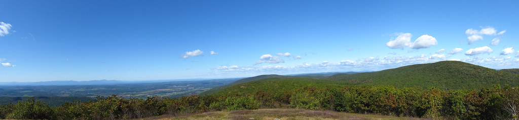 Mt. FrissellHikingPhoto: cm195902, CC BY 2.0 (via Flickr)0.7 mi
- Laurel TrailHikingPhoto: cm195902, CC BY 2.0 (via Flickr)0.9 mi
- Paradise Lane TrailHiking1.4 mi
- Sage's RavineCamping1.6 mi
- Harlem Valley Rail TrailGravel biking1.8 mi
- Housatonic RiverRiver fishing6.8 mi
- Showcase BoulderRock climbing8.4 mi
- Waterfall Basin BouldersRock climbing8.4 mi
Source: Roamze catalog (indexable pages within 10 miles, PostGIS distance)
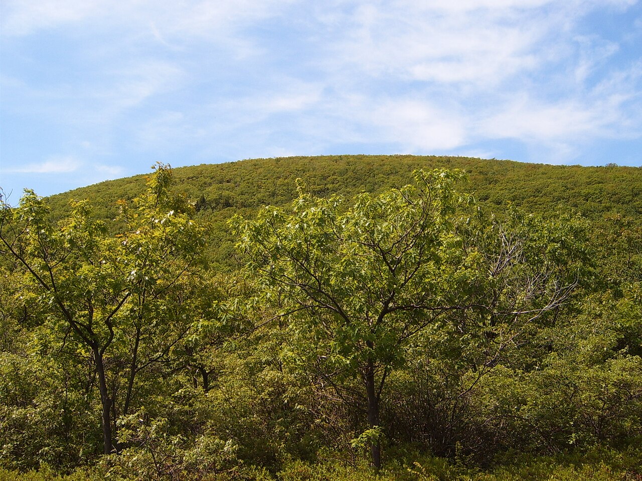 Bear MountainSummit · ~3 min drivePhoto: Heatkernel at English Wikipedia, Public domain (via Wikimedia Commons)
- Alander MountainSummit · ~5 min drivePhoto: Zeete, CC BY-SA 4.0 (via Wikimedia Commons)
 Mount RaceSummit · ~6 min drivePhoto: Downward Dingo, CC BY-SA 4.0 (via Wikimedia Commons)
 Mount EverettSummit · ~7 min drivePhoto: Telekineticturtle, CC BY-SA 3.0 (via Wikimedia Commons)
 Dry HillSummit · ~24 min drivePhoto: John Phelan, CC BY-SA 3.0 (via Wikimedia Commons)
 Haystack MountainSummit · ~25 min drivePhoto: Morrowlong, CC BY-SA 4.0 (via Wikimedia Commons)
 Monument MountainSummit · ~27 min drivePhoto: Tom Walsh, CC BY-SA 3.0 (via Wikimedia Commons)
- Round MountainSummit · Next door
- Brace MountainSummit · ~1 min drive
- Fox HillSummit · ~5 min drive
Best time to visit Mount Frissell
Best months: July–October. Best months have typical highs of 55–85 °F, lows of 30 °F or warmer (32 °F where the station doesn't record snow), at most one snowy day and no more than 12 wet days.
Jan
30° / 14°
13 wet · 9 snow
Feb
32° / 15°
12 wet · 8 snow
Mar
40° / 23°
13 wet · 7 snow
Apr
54° / 34°
13 wet · 2 snow
May
65° / 45°
14 wet
Jun
73° / 55°
13 wet
Jul
78° / 59°
12 wet
Aug
76° / 58°
11 wet
Sep
69° / 51°
11 wet
Oct
57° / 40°
12 wet
Nov
45° / 30°
12 wet · 3 snow
Dec
35° / 21°
14 wet · 7 snow
Typical high / low (°F) and days with rain or snow, 1991–2020. Measured at Norfolk 2 Sw, CT, 14.5 mi away at 1,340 ft. The station sits about 1,100 ft lower than this place, so expect it a little cooler here. Source: NOAA NCEI U.S. Climate Normals 1991–2020.
