Rattlesnake Rocks
- 5 routes
- 5.6 – 5.8
- Top Rope · Bouldering
- Apr, Jun–Oct
- best months
Rattlesnake Rocks is a climbing area in Massachusetts, about a mile from the town of Five Corners. It sits among a cluster of other climbing spots, with Ship's Prow, The Playground and Burger Boulder all within about a tenth of a mile. The area offers a mix of top-rope routes and bouldering. Five routes are listed in total, with three top-rope climbs graded between 5.6 and 5.8 on the YDS scale and two bouldering problems ranging from V0 to V6. Vibranium is the top-rope route at 5.8, and Craton Hop is the top-rope route at 5.7. For timing, late spring and early fall are the most comfortable. Typical averages from the Blue Hill weather station, about 4 miles away, show May highs around 67°F and September highs around 73°F, with July the warmest month at about 82°F. The Quarries Foot Path and Crags Foot Path are both within a mile, and the Red Dot Loop is about 1.7 miles away. Paddlers can reach the East Branch Neponset River, roughly 8 miles off.
- Ship's ProwRock climbing0.1 mi
- The PlaygroundRock climbing0.1 mi
- Burger BoulderRock climbing0.1 mi
- The OverlookRock climbing0.1 mi
 Quarries Foot PathHikingPhoto: Ktr101, CC BY-SA 2.0 (via Flickr)0.6 mi
 Crags Foot PathHikingPhoto: Magicpiano, CC BY-SA 3.0 (via Wikimedia Commons)0.8 mi
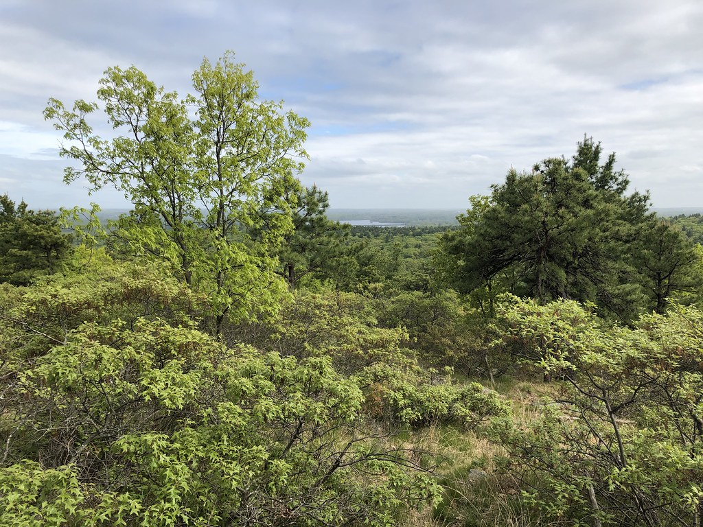 Red Dot LoopHikingPhoto: clembore, CC BY-SA 2.0 (via Flickr)1.7 mi
- East Branch Neponset RiverCanoeing7.9 mi
Source: Roamze catalog (indexable pages within 10 miles, PostGIS distance)
 A Wall (aka A Face)Rock climbing · ~1 min drivePhoto: Sswonk, CC BY-SA 3.0 (via Wikimedia Commons)
- S Wall (aka N Face)Rock climbing · ~1 min drivePhoto: Sswonk, CC BY-SA 3.0 (via Wikimedia Commons)
 R Wall (aka P Face)Rock climbing · ~1 min drivePhoto: Sswonk, CC BY-SA 3.0 (via Wikimedia Commons)
 Q WallRock climbing · ~1 min drivePhoto: Sswonk, CC BY-SA 3.0 (via Wikimedia Commons)
 C Wall (aka C Face)Rock climbing · ~1 min drivePhoto: Sswonk, CC BY-SA 3.0 (via Wikimedia Commons)
- E Wall (aka F & part of G Faces)Rock climbing · ~1 min drivePhoto: Sswonk, CC BY-SA 3.0 (via Wikimedia Commons)
- Quincy QuarriesRock climbing · ~2 min drivePhoto: Sswonk, CC BY-SA 3.0 (via Wikimedia Commons)
- D Wall (aka D & E Faces)Rock climbing · ~2 min drivePhoto: Sswonk, CC BY-SA 3.0 (via Wikimedia Commons)
- SwinglesRock climbing · ~2 min drivePhoto: Sswonk, CC BY-SA 3.0 (via Wikimedia Commons)
- J Wall (aka L Face)Rock climbing · ~2 min drivePhoto: Sswonk, CC BY-SA 3.0 (via Wikimedia Commons)
Best time to visit Rattlesnake Rocks
Best months: April and June–October. Best months have typical highs of 55–85 °F, lows of 30 °F or warmer (32 °F where the station doesn't record snow), at most one snowy day and no more than 12 wet days.
Jan
35° / 18°
13 wet
Feb
37° / 19°
11 wet
Mar
44° / 27°
13 wet
Apr
56° / 38°
12 wet
May
67° / 48°
13 wet
Jun
75° / 58°
12 wet
Jul
82° / 64°
11 wet
Aug
80° / 63°
10 wet
Sep
73° / 56°
9 wet
Oct
61° / 44°
11 wet
Nov
50° / 34°
11 wet
Dec
40° / 25°
13 wet
Typical high / low (°F) and days with rain or snow, 1991–2020. Measured at Blue Hill Coop, MA, 4 mi away at 625 ft. This station doesn't record snowfall. Source: NOAA NCEI U.S. Climate Normals 1991–2020.
