Crags Foot Path
 Photo: Magicpiano, CC BY-SA 3.0 (via Wikimedia Commons)
- 0.9 mi
- round trip
- 141 ft
- climb
- 224 ft
- high point
- Out and back
- route
- Apr–Oct
- best months
Crags Foot Path is a short, easy out-and-back hike in Massachusetts, about 1.2 miles from the town of Milton. The route is roughly 1.8 miles long, with a total climb of about 140 feet and a steepest stretch of about 8% at around 0.7 miles in. It's a low-effort outing, and the trail's gentle rise and fall make it easy to fit into a longer day of exploring the area. For comfortable weather, late spring and early fall are the best bets. Typical averages from a nearby weather station in Jamaica Plain show May highs around 69°F and September highs around 75°F, while July averages about 85°F. The path sits close to several climbing areas, including Overlook at 0.7 miles, Rattlesnake Rocks at 0.8 miles and Ship's Prow at 0.9 miles. For another walk, Quarries Foot Path is about 1.2 miles away.
Best time to go · Apr–Oct
Best time to visit Crags Foot Path
Best months: April–October. Best months have typical highs of 55–85 °F, lows of 30 °F or warmer (32 °F where the station doesn't record snow), at most one snowy day and no more than 12 wet days.
Jan
37° / 19°
Feb
40° / 21°
Mar
47° / 28°
Apr
59° / 38°
May
69° / 48°
Jun
79° / 58°
Jul
85° / 64°
Aug
83° / 63°
Sep
75° / 55°
Oct
64° / 43°
Nov
53° / 34°
Dec
42° / 26°
Typical high / low (°F) and days with rain or snow, 1991–2020. Measured at Jamaica Plain, MA, 5.9 mi away at 95 ft. This station doesn't record snowfall. Source: NOAA NCEI U.S. Climate Normals 1991–2020.
Keep exploring — more trails worth the drive
 Photo: Ktr101, CC BY-SA 2.0 (via Flickr)
Quarries Foot Path
~2 min drive
0.58-mile out-and-back trail in Massachusetts with 45 ft gain.
 Photo: clembore, CC BY-SA 2.0 (via Flickr)
Walking City Trail Section 3
~11 min drive
A 5.72-mile point-to-point urban trail section in Massachusetts.
HIKE
Walking City Trail Section 1
~5 min drive
9.71-mile point-to-point Massachusetts trail with moderate terrain.
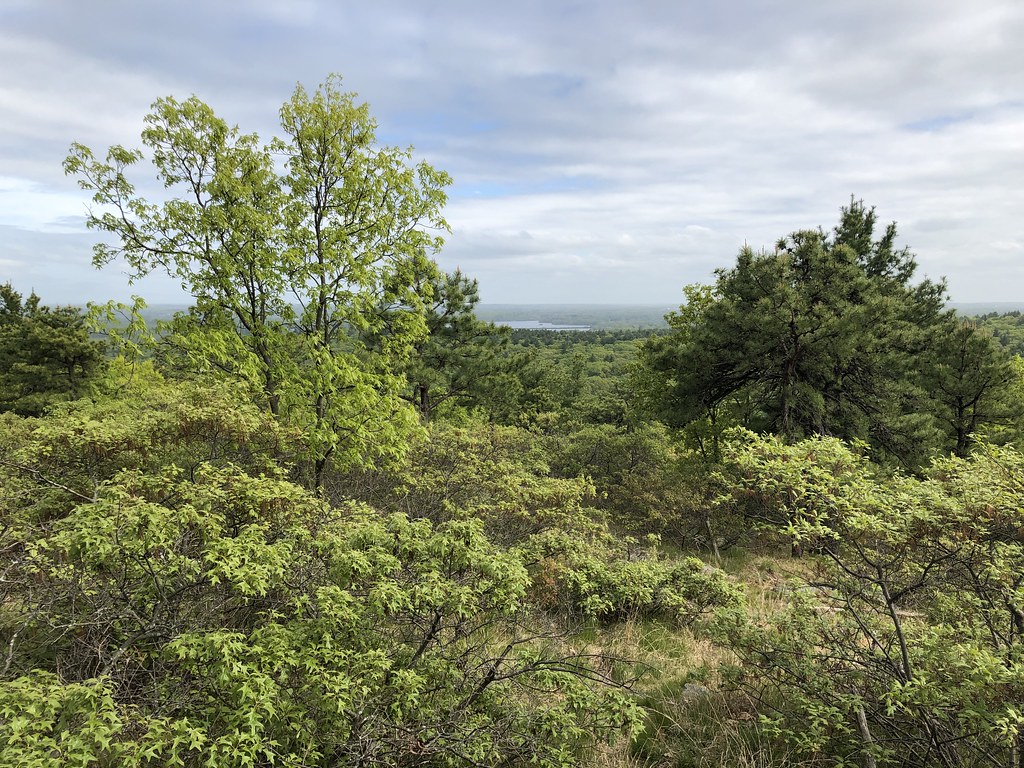 Photo: clembore, CC BY-SA 2.0 (via Flickr)
Red Dot Loop
~2 min drive
Easy 1.52-mile point-to-point trail in Massachusetts.
HIKE
Walking City Trail Section 2
~9 min drive
5.57-mile point-to-point urban trail section in Massachusetts.
HIKE
Boston Harborwalk
~18 min drive
29-mile waterfront point-to-point trail through Boston's historic harbor neighborhoods.
Photo: clembore, CC BY-SA 2.0 (via Flickr)Savoy Path
~3 min drive
0.72-mile out-and-back trail in Massachusetts with 237 ft of elevation gain.
HIKE
Walking City Trail Section 4
~17 min drive
5-mile point-to-point section of the Walking City Trail in Massachusetts.
 Photo: niklas.tenhaef1, CC BY-SA 2.0 (via Flickr)
Brookwood Trail
~5 min drive
0.30-mile out-and-back hike in Massachusetts with 37 ft gain
 Photo: niklas.tenhaef1, CC BY-SA 2.0 (via Flickr)
Coon Hollow Path
~6 min drive
Coon Hollow Path is a 0.71-mile out-and-back trail in Massachusetts with 47 ft of elevation gain.


Map and trail data © OpenStreetMap contributors
