E Wall (aka F & part of G Faces)
 Photo: Sswonk, CC BY-SA 3.0 (via Wikimedia Commons)
- 8 routes
- 5.4 – 5.9
- Top Rope · Bouldering
- Apr–Oct
- best months
E Wall, also known as F and part of G Faces, is a climbing area in Massachusetts, about half a mile from the town of West Quincy. It sits among a cluster of named walls, with D Wall (D & E Faces) and C Wall (C Face) each about 0.1 mile away, and G Wall (H Face) at a similar distance. The area is a compact grouping of rock faces, and the routes here are mostly top-roped, with one boulder problem. The climbing is rated from about 5.4 to 5.9 on the YDS scale, with the easiest routes including Double Traverse and Savage Place at 5.4. Barbara and Sigma run around 5.8, and Savage Direct is the hardest at 5.9. The boulder problem is listed as V5+. For timing, late spring and early fall are the most comfortable. Typical averages from a nearby weather station in Jamaica Plain show May highs around 69°F and September highs around 75°F, with July peaking near 85°F. The Quarries Foot Path is about 0.3 mile away, and the Crags Foot Path is about 1.2 miles off. The Red Dot Loop is roughly 2.4 miles away, and the East Branch Neponset River offers canoeing about 8.6 miles from the area.
- D Wall (aka D & E Faces)Rock climbingPhoto: Sswonk, CC BY-SA 3.0 (via Wikimedia Commons)0.1 mi
- C Wall (aka C Face)Rock climbingPhoto: Sswonk, CC BY-SA 3.0 (via Wikimedia Commons)0.1 mi
- G Wall (aka H Face)Rock climbing0.1 mi
 A Wall (aka A Face)Rock climbingPhoto: Sswonk, CC BY-SA 3.0 (via Wikimedia Commons)0.1 mi
 Quarries Foot PathHikingPhoto: Ktr101, CC BY-SA 2.0 (via Flickr)0.3 mi
 Crags Foot PathHikingPhoto: Magicpiano, CC BY-SA 3.0 (via Wikimedia Commons)1.2 mi
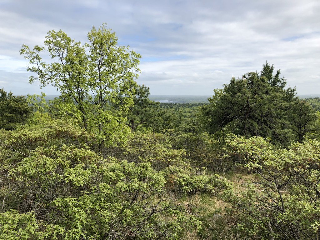 Red Dot LoopHikingPhoto: clembore, CC BY-SA 2.0 (via Flickr)2.4 mi
- East Branch Neponset RiverCanoeing8.6 mi
Source: Roamze catalog (indexable pages within 10 miles, PostGIS distance)
- C Wall (aka C Face)Rock climbing · Next doorPhoto: Sswonk, CC BY-SA 3.0 (via Wikimedia Commons)
- A Wall (aka A Face)Rock climbing · Next doorPhoto: Sswonk, CC BY-SA 3.0 (via Wikimedia Commons)
 Quincy QuarriesRock climbing · Next doorPhoto: Sswonk, CC BY-SA 3.0 (via Wikimedia Commons)
- J Wall (aka L Face)Rock climbing · Next doorPhoto: Sswonk, CC BY-SA 3.0 (via Wikimedia Commons)
 K Wall (aka M Face)Rock climbing · Next doorPhoto: Sswonk, CC BY-SA 3.0 (via Wikimedia Commons)
- R Wall (aka P Face)Rock climbing · Next doorPhoto: Sswonk, CC BY-SA 3.0 (via Wikimedia Commons)
- M WallRock climbing · Next doorPhoto: Sswonk, CC BY-SA 3.0 (via Wikimedia Commons)
- Q WallRock climbing · Next doorPhoto: Sswonk, CC BY-SA 3.0 (via Wikimedia Commons)
- S Wall (aka N Face)Rock climbing · Next doorPhoto: Sswonk, CC BY-SA 3.0 (via Wikimedia Commons)
- SwinglesRock climbing · Next doorPhoto: Sswonk, CC BY-SA 3.0 (via Wikimedia Commons)
Best time to visit E Wall (aka F & part of G Faces)
Best months: April–October. Best months have typical highs of 55–85 °F, lows of 30 °F or warmer (32 °F where the station doesn't record snow), at most one snowy day and no more than 12 wet days.
Jan
37° / 19°
Feb
40° / 21°
Mar
47° / 28°
Apr
59° / 38°
May
69° / 48°
Jun
79° / 58°
Jul
85° / 64°
Aug
83° / 63°
Sep
75° / 55°
Oct
64° / 43°
Nov
53° / 34°
Dec
42° / 26°
Typical high / low (°F) and days with rain or snow, 1991–2020. Measured at Jamaica Plain, MA, 6.1 mi away at 95 ft. This station doesn't record snowfall. Source: NOAA NCEI U.S. Climate Normals 1991–2020.
