Dark Hollow Path
- 0.3 mi
- round trip
- 92 ft
- climb
- Out and back
- route
- Apr, Jun–Oct
- best months
Dark Hollow Path is a short, flat mountain biking route in Massachusetts, about 1.5 miles from the town of North Randolph. The trail is an out-and-back that covers roughly 0.6 miles, with a total elevation gain of about 92 feet. The climb is gentle, with the steepest stretch at about 6% grade near the start, and the route reaches a high point of 304 feet before returning to a low of 249 feet. The most comfortable months for a ride are typically late spring through early fall. Typical averages from the nearby Blue Hill weather station show September highs around 73°F with lows near 56°F, and July highs around 82°F. That station sits about 320 feet higher than the trail, so temperatures on the path run a little warmer. Headquarters Path, another mountain biking route, is about half a mile away. Savoy Path and Red Dot Loop are both within a mile for hikers, and Lunch Wall offers climbing about 1.6 miles off.
Best time to go · Apr, Jun–Oct
Best time to visit Dark Hollow Path
Best months: April and June–October. Best months have typical highs of 55–85 °F, lows of 30 °F or warmer (32 °F where the station doesn't record snow), at most one snowy day and no more than 12 wet days.
Jan
35° / 18°
13 wet
Feb
37° / 19°
11 wet
Mar
44° / 27°
13 wet
Apr
56° / 38°
12 wet
May
67° / 48°
13 wet
Jun
75° / 58°
12 wet
Jul
82° / 64°
11 wet
Aug
80° / 63°
10 wet
Sep
73° / 56°
9 wet
Oct
61° / 44°
11 wet
Nov
50° / 34°
11 wet
Dec
40° / 25°
13 wet
Typical high / low (°F) and days with rain or snow, 1991–2020. Measured at Blue Hill Coop, MA, 1.5 mi away at 625 ft. This station doesn't record snowfall. Source: NOAA NCEI U.S. Climate Normals 1991–2020.
Keep exploring — more rides worth the drive
RIDE
Headquarters Path
Next door
0.10-mile out-and-back trail in Massachusetts with 16 ft of elevation gain.
RIDE
Coon Hollow Path
~3 min drive
0.24-mile expert out-and-back trail in Massachusetts rated Double Black Diamond.
RIDE
Powerglide
~14 min drive
Hard singletrack out and back in Massachusetts, 0.80 miles, 169 ft gain.
RIDE
Red Path
~17 min drive
0.31-mile out-and-back trail in Massachusetts with 20 ft of elevation gain.
RIDE
Bay Colony Rail Trail
~17 min drive
1.55-mile gravel road trail in Massachusetts with 212 ft of elevation gain.
RIDE
Headquarters Path
Next door
0.15-mile out-and-back singletrack with 31 ft elevation gain in Massachusetts.
RIDE
Red Path
~17 min drive
0.10-mile out-and-back trail in Massachusetts rated moderate difficulty with 9 ft elevation gain.
RIDE
Sudbury Aqueduct Trail
~18 min drive
0.51-mile easy singletrack in Massachusetts with 30 ft elevation gain.
RIDE
Main Street Trailhead BLUE TRAIL
~12 min drive
Short beginner-friendly blue singletrack perfect for skills building and warm-ups.
RIDE
Red Path
~17 min drive
0.38-mile out-and-back trail in Massachusetts with 45 ft of elevation gain.
Also worth it near here
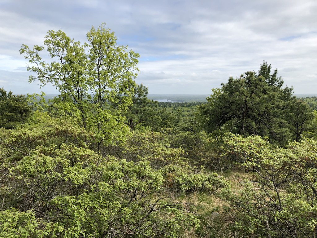 Photo: clembore, CC BY-SA 2.0 (via Flickr)
Savoy Path
~2 min drive
 Photo: User:Magicpiano, CC BY-SA 4.0 (via Wikimedia Commons)
Ponkapoag Camp of Appalachian Mountain Club
~2 min drive
 Photo: The original uploader was Swampyank at English Wikipedia., Public domain (via Wikimedia Commons)
Great Blue Hill
~3 min drive
SEE
Great Pond
~4 min drive
Map and trail data © OpenStreetMap contributors
