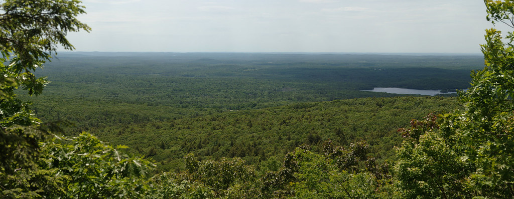
Fisherman's Wall
- 10 routes
- 5.8+ – 5.12+
- Trad · Top Rope
- May–Oct
- best months
Fisherman's Wall is a rock climbing area in Massachusetts, about a mile from the town of Leino Park. It sits among several other climbing areas, with The Buttress, Green Corner and Main Face all within about a tenth of a mile. That makes it easy to pair with those neighbors on a single visit. The area has 10 routes, with eight of them done in trad and two on top rope. Grades run from 5.8+ up to 5.12+, so there's a range of options for climbers of different abilities. Some of the named routes include Diagonal at 5.8+ and Dune at 5.12+, with Jane at 5.11a. Summer is the most comfortable time to climb. Typical averages from the nearby Ashburnham weather station show July highs around 80°F with lows near 60°F, while winter brings highs in the low 30s and regular snow days from December through February. For a change from the rock, Red Oak Trail is about half a mile away, and Mountain House Trail and Monoosnoc Ridge Trail are both within 4 miles. Paddlers can find the Upper Otter River Blue Trail about 9 miles off.
Best time to go · May–Oct
Best time to visit Fisherman's Wall
Best months: May–October. Best months have typical highs of 55–85 °F, lows of 30 °F or warmer (32 °F where the station doesn't record snow), at most one snowy day and no more than 12 wet days.
Jan
31° / 14°
13 wet · 9 snow
Feb
33° / 15°
11 wet · 8 snow
Mar
41° / 23°
13 wet · 6 snow
Apr
55° / 34°
12 wet · 2 snow
May
66° / 44°
12 wet
Jun
75° / 54°
12 wet
Jul
80° / 60°
11 wet
Aug
78° / 57°
10 wet
Sep
71° / 51°
9 wet
Oct
57° / 39°
11 wet
Nov
46° / 31°
11 wet · 2 snow
Dec
35° / 20°
13 wet · 7 snow
Typical high / low (°F) and days with rain or snow, 1991–2020. Measured at Ashburnham, MA, 7.4 mi away at 1,108 ft. Source: NOAA NCEI U.S. Climate Normals 1991–2020.
Routes (10)
Keep exploring — more climbs worth the drive
CLIMB
Main Face
Next door
Main Face in Massachusetts has 12 climbing routes across 8 grades.
CLIMB
Crow Hill
Next door
Crow Hill is a Massachusetts climbing area with 4 trad routes across 4 difficulty grades.
CLIMB
End Crags
Next door
End Crags in Massachusetts has 6 climbing routes across 4 grades, offering top-rope and trad options.
CLIMB
Leominster State Forest
Next door
5 climbing routes in Massachusetts state forest, 5 difficulty grades.
CLIMB
Redemption Crag
~2 min drive
Redemption Crag in Massachusetts has 11 climbing routes with 5 difficulty grades.
CLIMB
Playground Boulder
~4 min drive
5 bouldering routes at Playground Boulder in Massachusetts.
CLIMB
Wachusett Mountain Area
~4 min drive
Wachusett Mountain Area in Massachusetts has 4 bouldering routes with pads.
CLIMB
Crow Hill and Leominster Area
~6 min drive
Central Massachusetts climbing area with accessible routes near Leominster.
CLIMB
Sholan Farms
~7 min drive
Sholan Farms in Massachusetts has 7 climbing routes with bouldering pads and trad.
CLIMB
Central, MA
~8 min drive
Central, MA is a Massachusetts climbing area with 4 bouldering routes.