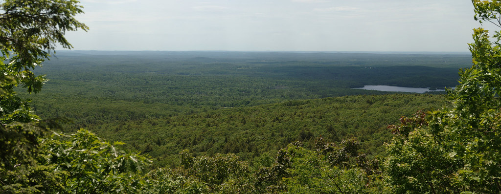
End Crags
- 6 routes
- 5.4 – 5.10
- Trad · Top Rope
- May–Oct
- best months
End Crags is a climbing area in Massachusetts, about a mile from the town of Leino Park. It sits among several other climbing spots, with Green Corner, Fisherman's Wall and The Buttress all within about a tenth of a mile, so it works well as part of a day spent exploring the cluster. The area has six routes, four of which are trad and two top rope, with grades ranging from 5.4 to 5.10. Beginner's Blessing and Pine Tree are both 5.4 trad routes, and Melissa's Madness is a 5.10 top rope. Tom's Dilemma, a 5.6 trad route, was first climbed by Tom Riihimaki between 1966 and 1970. Summer is the most comfortable time to climb. Typical averages from the nearby Ashburnham weather station show July highs around 80°F with lows near 60°F, while winter brings highs in the low 30s and regular snow days from December through February. For a change from the crags, Red Oak Trail is about half a mile away, and Mountain House Trail and Monoosnoc Ridge Trail are both within 4 miles. Paddlers can reach the Upper Otter River Blue Trail about 9 miles off.
Best time to go · May–Oct
Best time to visit End Crags
Best months: May–October. Best months have typical highs of 55–85 °F, lows of 30 °F or warmer (32 °F where the station doesn't record snow), at most one snowy day and no more than 12 wet days.
Jan
31° / 14°
13 wet · 9 snow
Feb
33° / 15°
11 wet · 8 snow
Mar
41° / 23°
13 wet · 6 snow
Apr
55° / 34°
12 wet · 2 snow
May
66° / 44°
12 wet
Jun
75° / 54°
12 wet
Jul
80° / 60°
11 wet
Aug
78° / 57°
10 wet
Sep
71° / 51°
9 wet
Oct
57° / 39°
11 wet
Nov
46° / 31°
11 wet · 2 snow
Dec
35° / 20°
13 wet · 7 snow
Typical high / low (°F) and days with rain or snow, 1991–2020. Measured at Ashburnham, MA, 7.4 mi away at 1,108 ft. Source: NOAA NCEI U.S. Climate Normals 1991–2020.
Keep exploring — more climbs worth the drive
CLIMB
Green Corner
Next door
Green Corner in Massachusetts has 5 trad routes across 4 difficulty grades.
CLIMB
Fisherman's Wall
Next door
Fisherman's Wall in Massachusetts has 10 climbing routes across 6 grades, offering top-rope and trad options.
CLIMB
The Buttress
Next door
The Buttress in Massachusetts has 6 routes ranging from moderate to expert difficulty, offering mixed and traditional climbing.
CLIMB
Main Face
Next door
Main Face in Massachusetts has 12 climbing routes across 8 grades.
CLIMB
Crow Hill
Next door
Crow Hill is a Massachusetts climbing area with 4 trad routes across 4 difficulty grades.
CLIMB
Leominster State Forest
Next door
5 climbing routes in Massachusetts state forest, 5 difficulty grades.
CLIMB
Redemption Crag
~2 min drive
Redemption Crag in Massachusetts has 11 climbing routes with 5 difficulty grades.
CLIMB
Playground Boulder
~4 min drive
5 bouldering routes at Playground Boulder in Massachusetts.
CLIMB
Wachusett Mountain Area
~4 min drive
Wachusett Mountain Area in Massachusetts has 4 bouldering routes with pads.
CLIMB
Crow Hill and Leominster Area
~6 min drive
Central Massachusetts climbing area with accessible routes near Leominster.