Edmund Hill Trail
- 0.8 mi
- one way
- 146 ft
- climb
- 415 ft
- high point
- Point to point
- route
- Apr–Jun, Aug–Oct
- best months
Edmund Hill Trail is a 0.8-mile point-to-point hike in Edmund Hill Woods Conservation Area in Massachusetts. It's a moderate outing that rises from about 356 feet to 415 feet, with a total climb of 146 feet and a descent of 225 feet. The steepest stretch comes around 0.46 miles in, where the trail reaches a grade of about 18 percent. Late spring and early fall are the most comfortable times to go. Typical averages from a nearby weather station in Maynard run from highs around 73°F with lows near 45°F in May to highs near 78°F with lows around 49°F in September. That station sits about 210 feet lower than the trail's high point, so temperatures on the hill run a bit cooler. Goldfinch Trail and Summit Trail both lie about 0.3 miles away. The Assabet River, about 0.7 miles off, offers canoeing, and Forty Caves is a climbing area roughly 3.4 miles away.
Conditions and forecast on Edmund Hill
Daily highs and lows, wind and the chance of precipitation at the summit and route start for the next 7 days, from the Open-Meteo model.
- Goldfinch TrailHiking0.3 mi
- Summit TrailHiking0.3 mi
 Assabet RiverCanoeingPhoto: John Phelan, CC BY-SA 3.0 (via Wikimedia Commons)0.7 mi
- Old Farm TrailHiking1.1 mi
- Forty CavesRock climbing3.4 mi
- Berlin BoulderRock climbing5.1 mi
- Welcome BoulderRock climbing5.3 mi
- Wachusett ReservoirLake fishing6.2 mi
Source: Roamze catalog (indexable pages within 10 miles, PostGIS distance)
 Little Chauncy TrailHiking · ~4 min drivePhoto: Jakob Roedler (1808-1862), Public domain (via Wikimedia Commons)
- Whitehall Yellow TrailHiking · ~14 min drive
- Crane Swamp TrailHiking · ~4 min drivePhoto: Jakob Roedler (1808-1862), Public domain (via Wikimedia Commons)
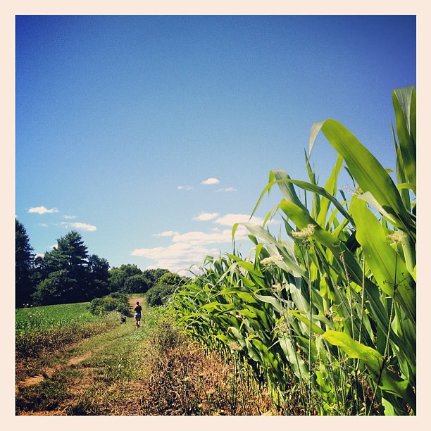 Cedar Hill TrailHiking · ~4 min drivePhoto: dee & tula monstah, CC BY 2.0 (via Flickr)
 Carlstrom II TrailHiking · ~5 min drivePhoto: Gudlyf, CC BY 2.0 (via Flickr)
- Sawink LoopHiking · ~5 min drivePhoto: Jakob Roedler (1808-1862), Public domain (via Wikimedia Commons)
 Sheepfalls Brook TrailHiking · ~7 min drivePhoto: spierzchala, CC BY 2.0 (via Flickr)
 John Malley TrailHiking · ~8 min drivePhoto: Eriky8 (Kevin Johnson), CC BY-SA 3.0 (via Wikimedia Commons)
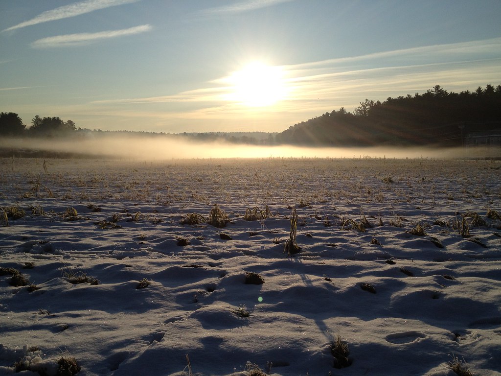 Acorn TrailHiking · ~12 min drivePhoto: fromdarkheaven, CC BY-SA 2.0 (via Flickr)
- Flying Squirrel TrailHiking · ~13 min drivePhoto: fromdarkheaven, CC BY-SA 2.0 (via Flickr)
Best time to visit Edmund Hill Trail
Best months: April–June and August–October. Best months have typical highs of 55–85 °F, lows of 30 °F or warmer (32 °F where the station doesn't record snow), at most one snowy day and no more than 12 wet days.
Jan
37° / 15°
11 wet
Feb
41° / 16°
9 wet
Mar
48° / 24°
12 wet
Apr
62° / 34°
12 wet
May
73° / 45°
12 wet
Jun
81° / 55°
11 wet
Jul
87° / 60°
10 wet
Aug
85° / 58°
10 wet
Sep
78° / 49°
9 wet
Oct
66° / 38°
11 wet
Nov
54° / 29°
10 wet
Dec
43° / 21°
11 wet
Typical high / low (°F) and days with rain or snow, 1991–2020. Measured at Maynard 2, MA, 11.9 mi away at 205 ft. This station doesn't record snowfall. Source: NOAA NCEI U.S. Climate Normals 1991–2020.
Route details
- Distance
- 0.8 mi
- Climbing
- About 146 ft
- Summit
- 450 ft
- Difficulty
- Moderate
- Time
- About 0.5 hours
Other routes up Edmund Hill
Questions about this route
How long is the Edmund Hill Trail on Edmund Hill?
About 0.8 mi.
How much elevation gain is on the Edmund Hill Trail?
About 146 ft of climbing round trip.
How hard is the Edmund Hill Trail?
It is rated moderate.
How long does the Edmund Hill Trail take?
About 0.5 hours round trip.
How many routes go up Edmund Hill?
2: Summit Trail and Edmund Hill Trail.
Map and trail data © OpenStreetMap contributors
