Pipeline Path
- 1.2 mi
- round trip
- 432 ft
- climb
- 928 ft
- high point
- Out and back
- route
- Apr–Oct
- best months
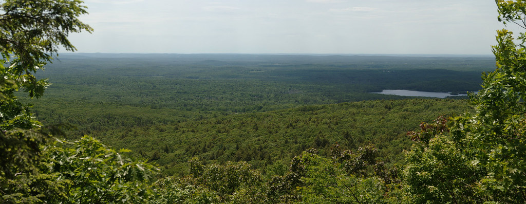
Pipeline Path is a 1.23-mile out-and-back hike in Massachusetts, with the trail's mapped length coming to about 2.5 miles when you include the climb and return. It's an easy route with a steady climb to a high point of 928 feet, starting at about 890 feet and ending with the same drop back down. The steepest stretch comes at about 0.4 miles in, where the grade reaches about 5%. The nearest town is Fitchburg, about 2.2 miles away, which makes this a short outing for anyone already in the area. For comfortable weather, late spring through early fall works best. Typical averages from a nearby weather station in Fitchburg put June highs around 76°F and September highs around 73°F, with July peaking near 81°F. The trip takes about an hour. Main Path, a 0.4-mile hike, sits close by. Stone Cliffs Loop is about 3.6 miles away. Mountain bikers can head to Wares Waldo West, roughly 3.2 miles out, and climbers will find Leominster State Forest about 6.4 miles away.
- Main PathHiking0.4 mi
- Wares Waldo WestMountain biking3.2 mi
- The BermMountain biking3.3 mi
- Stone Cliffs LoopHiking3.6 mi
- Leominster State ForestRock climbing6.4 mi
- Crow HillRock climbing6.5 mi
- Main FaceRock climbing6.5 mi
 Squannacook RiverCanoeingPhoto: Marcbela (Marc N. Belanger), CC0 (via Wikimedia Commons)6.6 mi
Source: Roamze catalog (indexable pages within 10 miles, PostGIS distance)
 Mountain House TrailHiking · ~16 min drivePhoto: xxv, CC BY-SA 2.0 (via Flickr)
- Whale Rock LoopHiking · ~6 min drive
 Loop TrailHiking · ~19 min drivePhoto: dee & tula monstah, CC BY 2.0 (via Flickr)
- Monoosnoc Ridge TrailHiking · ~8 min drive
 Bill Ashe TrailHiking · ~19 min drivePhoto: clembore, CC BY-SA 2.0 (via Flickr)
- Jeff Smith TrailHiking · ~17 min drive
 Esker Loop TrailHiking · ~20 min drivePhoto: Bob Burkhardt, CC BY 3.0 (via Wikimedia Commons)
- Ware River Rail TrailHiking · ~22 min drive
- Loop TrailHiking · ~20 min drivePhoto: dee & tula monstah, CC BY 2.0 (via Flickr)
- Dead River RoadHiking · ~20 min drivePhoto: dee & tula monstah, CC BY 2.0 (via Flickr)
Best time to visit Pipeline Path
Best months: April–October. Best months have typical highs of 55–85 °F, lows of 30 °F or warmer (32 °F where the station doesn't record snow), at most one snowy day and no more than 12 wet days.
Jan
34° / 15°
Feb
35° / 14°
Mar
44° / 23°
Apr
57° / 35°
May
67° / 46°
Jun
76° / 55°
Jul
81° / 61°
Aug
79° / 59°
Sep
73° / 51°
Oct
60° / 39°
Nov
48° / 31°
Dec
37° / 21°
Typical high / low (°F) and days with rain or snow, 1991–2020. Measured at Fitchburg Coop, MA, 1.3 mi away at 665 ft. This station doesn't record snowfall. Source: NOAA NCEI U.S. Climate Normals 1991–2020.
Map and trail data © OpenStreetMap contributors
