Dead River Road
 Photo: dee & tula monstah, CC BY 2.0 (via Flickr)
- 0.5 mi
- round trip
- 26 ft
- climb
- 244 ft
- high point
- Out and back
- route
- Apr, Jul–Oct
- best months
Dead River Road is a short, easy out-and-back hike in western Massachusetts, about 1.6 miles from the town of West Groton. The route is just under a mile long, with a total climb of about 26 feet, so it's a gentle walk that can be done in a few minutes. The most comfortable months for a visit are typically late spring and early fall. Typical averages from a nearby weather station in Fitchburg show May highs around 70°F and September highs around 74°F, with July the warmest month at about 83°F. Several other outdoor spots sit close by. Wharton Road and Town Forest Road are both about 0.4 miles away and used for cross-country skiing. Kotik Crag, a climbing area, is about 2.1 miles off, and Spacious Skies Campgrounds - Minute Man is about 4.4 miles away.
Best time to go · Apr, Jul–Oct
Best time to visit Dead River Road
Best months: April and July–October. Best months have typical highs of 55–85 °F, lows of 30 °F or warmer (32 °F where the station doesn't record snow), at most one snowy day and no more than 12 wet days.
Jan
34° / 16°
11 wet
Feb
37° / 17°
9 wet
Mar
45° / 25°
11 wet
Apr
58° / 35°
12 wet
May
70° / 46°
13 wet
Jun
78° / 56°
13 wet
Jul
83° / 61°
12 wet
Aug
82° / 60°
12 wet
Sep
74° / 51°
11 wet
Oct
62° / 40°
12 wet
Nov
50° / 30°
11 wet
Dec
40° / 22°
11 wet
Typical high / low (°F) and days with rain or snow, 1991–2020. Measured at Fitchburg Muni Ap, MA, 8.4 mi away at 348 ft. This station doesn't record snowfall. Source: NOAA NCEI U.S. Climate Normals 1991–2020.
Keep exploring — more trails worth the drive
Photo: dee & tula monstah, CC BY 2.0 (via Flickr)Loop Trail
~1 min drive
0.46-mile out-and-back out-and-back in Massachusetts with 117 ft of elevation gain.
HIKE
Jeff Smith Trail
~9 min drive
5.17-mile point-to-point trail through Massachusetts woodland.
 Photo: Bob Burkhardt, CC BY 3.0 (via Wikimedia Commons)
Esker Loop Trail
~3 min drive
1.35-mile out-and-back hike on an eskar in Massachusetts with 178 ft gain
 Photo: U. S. Fish and Wildlife Service - Northeast Region, Public domain (via Wikimedia Commons)
Mirror Lake Trail (primary)
~7 min drive
2.42-mile out-and-back trail in Massachusetts with 841 ft elevation gain.
 Photo: clembore, CC BY-SA 2.0 (via Flickr)
Bill Ashe Trail
~8 min drive
0.92-mile out-and-back hike in Massachusetts with 96 ft of elevation gain.
 Photo: clembore, CC BY-SA 2.0 (via Flickr)
Goddard Trail
~9 min drive
1.13-mile out-and-back trail in Massachusetts with 269 ft of elevation gain.
 Photo: inkknife_2000 (7.5 million views +), CC BY-SA 2.0 (via Wikimedia Commons)
Vesenka Loop (Blue Blaze)
~11 min drive
A short out-and-back woodland walk in Massachusetts.
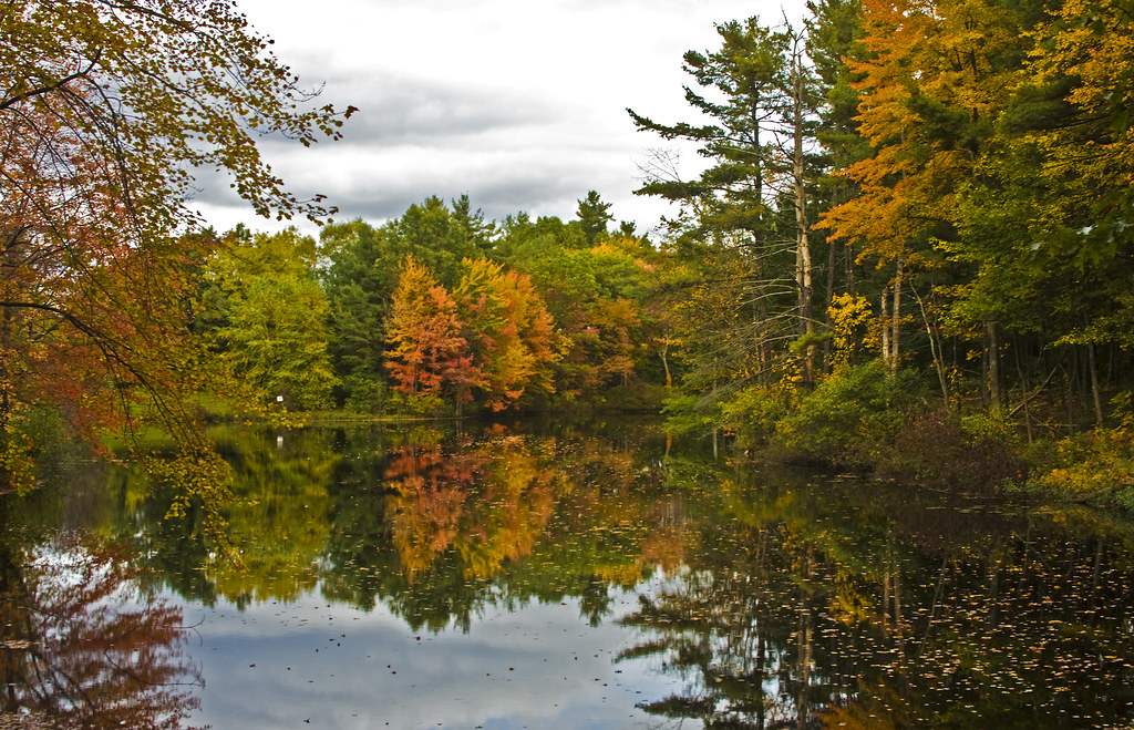 Photo: Muffet, CC BY 2.0 (via Flickr)
Hager Trail
~13 min drive
2.68-mile out-and-back trail in Massachusetts with 843 ft elevation gain
 Photo: Paul J. Morris, CC BY-SA 2.0 (via Flickr)
Sprague Primary Trail
~14 min drive
Short point-to-point woodland trail in Massachusetts.
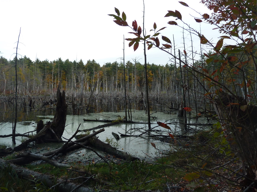 Photo: Paul J. Morris, CC BY-SA 2.0 (via Flickr)
Bolton Flats Trail
~15 min drive
2.64-mile out-and-back trail in Massachusetts with 226 ft elevation gain.
Map and trail data © OpenStreetMap contributors
