Meadow Trail
- 0.5 mi
- loop
- 105 ft
- climb
- 859 ft
- high point
- Loop
- route
- Sep
- best months
Meadow Trail is a short, easy hike in western Massachusetts, about 0.8 miles from the town of White Oaks. It covers roughly half a mile, with a gentle climb of about 105 feet, so it works well as a quick outing or a break before or after another outing in the area. The trail rises from a starting point near 794 feet to a high of about 859 feet, and the steepest section comes at about 0.34 miles in. That stretch has a grade of about 7 percent, but the overall climb is mild. The trip takes about half an hour, so plan on a short visit. For comfortable weather, late spring through early fall is the sweet spot. Typical averages from a nearby weather station in North Adams show September highs around 72°F with lows near 49°F, while July highs reach about 81°F. Winters are cold, with January highs around freezing. Several other trails sit close by. Niles Trail and Summit Trail are each about 0.1 mile away, and Deer Ridge is about 0.4 mile off. For climbing, Clark Crag is about 2.9 miles away.
- Niles TrailHiking0.1 mi
- Summit TrailHiking0.1 mi
- Deer RidgeHiking0.4 mi
- Clark CragRock climbing2.9 mi
- Old Seth Warner Shelter SiteCamping4.1 mi
- Seth Warner ShelterCamping5.9 mi
- North Branch Hoosic RiverCanoeing8 mi
- Congdon ShelterCamping8.8 mi
Source: Roamze catalog (indexable pages within 10 miles, PostGIS distance)
 Hoosic River TrailHiking · ~2 min drivePhoto: JFGryphon, Public Domain Dedication (CC0) (via Flickr)
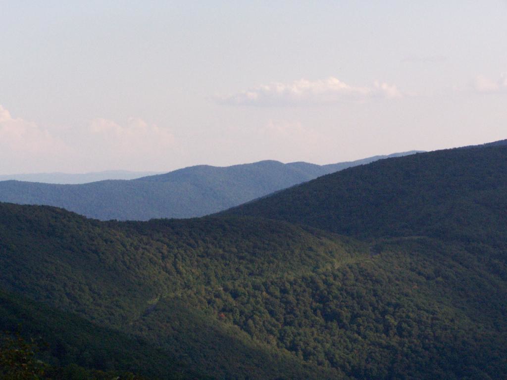 Birch Brook TrailHiking · ~6 min drivePhoto: andyarthur, CC BY 2.0 (via Flickr)
- Broad BrookHiking · ~2 min drive
- Appalachian Trail/long TrailHiking · ~8 min drive
- Shepherds Well TrailHiking · ~5 min drivePhoto: andyarthur, CC BY 2.0 (via Flickr)
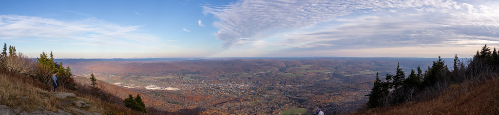 Bellows Pipe TrailHiking · ~13 min drivePhoto: Ktr101, CC BY-SA 2.0 (via Flickr)
 Wilbur’s Clearing to SummitHiking · ~10 min drivePhoto: KimonBerlin, CC BY-SA 2.0 (via Flickr)
- The Dome (Pownal)Hiking · ~5 min drive
- Thoreau’s FootstepsHiking · ~10 min drivePhoto: KimonBerlin, CC BY-SA 2.0 (via Flickr)
- Prosser Hollow TrailHiking · ~10 min drive
Best time to visit Meadow Trail
Best months: September. Best months have typical highs of 55–85 °F, lows of 30 °F or warmer (32 °F where the station doesn't record snow), at most one snowy day and no more than 12 wet days.
Jan
32° / 14°
12 wet
Feb
35° / 15°
10 wet
Mar
44° / 24°
12 wet
Apr
57° / 33°
13 wet
May
69° / 44°
14 wet
Jun
76° / 53°
15 wet
Jul
81° / 58°
14 wet
Aug
79° / 56°
14 wet
Sep
72° / 49°
12 wet
Oct
60° / 38°
13 wet
Nov
48° / 30°
12 wet
Dec
38° / 22°
13 wet
Typical high / low (°F) and days with rain or snow, 1991–2020. Measured at North Adams Harriman Ap, MA, 3.6 mi away at 654 ft. This station doesn't record snowfall. Source: NOAA NCEI U.S. Climate Normals 1991–2020.
Map and trail data © OpenStreetMap contributors
