M&M Trail (Old Route)
- 1.1 mi
- round trip
- 446 ft
- climb
- 871 ft
- high point
- Out and back
- route
- Apr–Oct
- best months
M&M Trail (Old Route) is an easy out-and-back hike in western Massachusetts, about 0.7 miles from the village of East Leverett. The trail is roughly 2.3 miles long, with a total climb of 446 feet and a high point of 871 feet. The route starts at 838 feet, and the steepest stretch comes around 0.74 miles in, with a grade of about 10 percent. Late spring and early fall are the most comfortable times to go. Typical averages from the Leverett #2 weather station, 3.2 miles away, show May highs near 70°F and September highs near 74°F. That station sits about 556 feet below the trail's high point, so temperatures on the trail run cooler. The hike takes about an hour to complete. For more time on foot, the Northern Trail Extension lies about 3 miles away. Mountain bikers can head to Down Deep, about 2.1 miles off, and Poverty Ridge Run, about 2.3 miles away. Paddlers will find the Fort River about 4.5 miles from the trail.
- Down DeepMountain biking2.1 mi
- Poverty Ridge RunMountain biking2.3 mi
- Northern Trail ExtensionHiking3 mi
 Fort RiverCanoeingPhoto: Ktr101, CC BY-SA 4.0 (via Wikimedia Commons)4.5 mi
- SunbowlRock climbing4.6 mi
- Sawmill RiverCanoeing6 mi
- The Neverland CragRock climbing6.1 mi
- Moss Boss & Chip OffRock climbing6.1 mi
Source: Roamze catalog (indexable pages within 10 miles, PostGIS distance)
 Whsipering Winds LoopHiking · ~8 min drivePhoto: pjmorse, CC BY-SA 2.0 (via Wikimedia Commons)
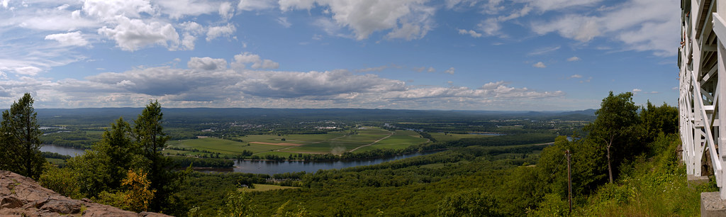 Robert Frost TrailHiking · ~18 min drivePhoto: 6SN7, CC BY 2.0 (via Flickr)
- M&M Trail (Old Route)Hiking · ~5 min drive
 Hemlock Loop TrailHiking · ~9 min drivePhoto: aerugino, CC BY 2.0 (via Flickr)
- Farley Ledge LoopHiking · ~20 min drive
- M&M Trail (old route)Hiking · ~11 min drive
- Sugar Farms TrailHiking · ~10 min drivePhoto: aerugino, CC BY 2.0 (via Flickr)
 Fort River Birding and Nature TrailHiking · ~14 min drivePhoto: U. S. Fish and Wildlife Service - Northeast Region, Public domain (via Wikimedia Commons)
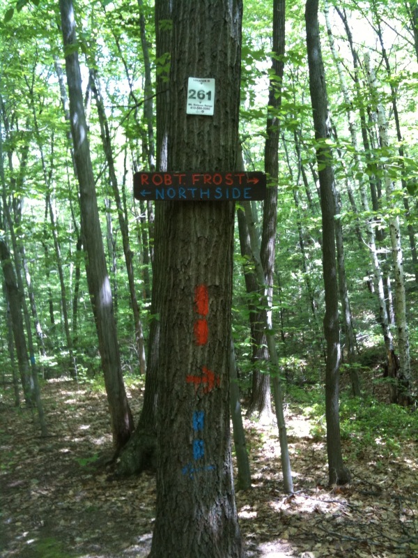 South Side TrailHiking · ~16 min drivePhoto: Qfamily, CC BY 2.0 (via Flickr)
 RaptorHiking · ~16 min drivePhoto: Mehrashk, CC BY-SA 4.0 (via Wikimedia Commons)
Best time to visit M&M Trail (Old Route)
Best months: April–October. Best months have typical highs of 55–85 °F, lows of 30 °F or warmer (32 °F where the station doesn't record snow), at most one snowy day and no more than 12 wet days.
Jan
30° / 12°
Feb
35° / 12°
Mar
45° / 23°
Apr
58° / 34°
May
70° / 45°
Jun
79° / 55°
Jul
83° / 61°
Aug
82° / 59°
Sep
74° / 50°
Oct
60° / 39°
Nov
48° / 29°
Dec
37° / 20°
Typical high / low (°F) and days with rain or snow, 1991–2020. Measured at Leverett #2, MA, 3.2 mi away at 315 ft. The station sits about 600 ft lower than this place, so expect it a little cooler here. This station doesn't record snowfall. Source: NOAA NCEI U.S. Climate Normals 1991–2020.

Map and trail data © OpenStreetMap contributors
