Fort River Birding and Nature Trail
 Photo: U. S. Fish and Wildlife Service - Northeast Region, Public domain (via Wikimedia Commons)
- 1.0 mi
- loop
- 11 ft
- climb
- 140 ft
- high point
- Loop
- route
- Apr–Oct
- best months
Fort River Birding and Nature Trail is a short, easy loop on the Silvio O. Conte National Fish and Wildlife Refuge in western Massachusetts, managed by the U.S. Fish and Wildlife Service. The trail is about a mile long, with a total elevation gain of just 11 feet, so it's a gentle walk that can be done in a single outing. The route starts and ends at nearly the same elevation, with the high point at 140 feet and the low at 120 feet. The steepest stretch comes at about 0.69 miles in, with a grade of 8 percent. That makes it a low-effort outing, and the loop shape lets you turn around and retrace your steps without backtracking. For comfortable weather, late spring and early fall are the best bets. Typical averages from a nearby weather station in Amherst show May highs around 69°F and September highs around 74°F, with July the warmest month at about 83°F. Paddlers can head to Fort River, about 4 miles away, or Mill River, roughly 6.6 miles off. Mountain bikers will find Parker Road and College Road within about 2 miles.
- Parker RoadMountain biking1.9 mi
- College RoadMountain biking2.1 mi
- Margin CallMountain biking2.2 mi
- Groundward DownMountain biking2.3 mi
 Fort RiverCanoeingPhoto: Ktr101, CC BY-SA 4.0 (via Wikimedia Commons)4.1 mi
- Mill RiverCanoeing6.6 mi
- SunbowlRock climbing7.8 mi
- Western MARock climbing9.3 mi
Source: Roamze catalog (indexable pages within 10 miles, PostGIS distance)
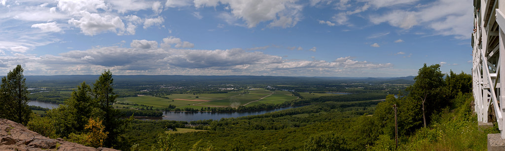 Robert Frost TrailHiking · ~5 min drivePhoto: 6SN7, CC BY 2.0 (via Flickr)
 Walnut Trees PathHiking · ~5 min drivePhoto: allenran 917, CC BY 2.0 (via Flickr)
- Old Carriage TrailHiking · ~11 min drive
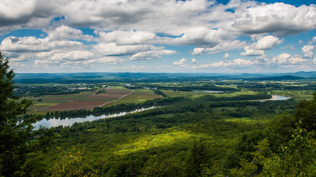 Lithia Springs TrailHiking · ~5 min drivePhoto: allenran 917, CC BY 2.0 (via Flickr)
- M&M Trail (Old Route)Hiking · ~18 min drive
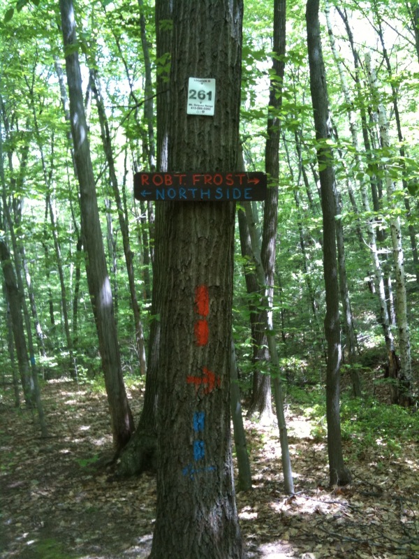 South Side TrailHiking · ~6 min drivePhoto: Qfamily, CC BY 2.0 (via Flickr)
- Roller CoasterHiking · ~6 min drivePhoto: Qfamily, CC BY 2.0 (via Flickr)
 RaptorHiking · ~7 min drivePhoto: Mehrashk, CC BY-SA 4.0 (via Wikimedia Commons)
 T-RexHiking · ~7 min drivePhoto: Qfamily, CC BY 2.0 (via Flickr)
- Em’s GemHiking · ~7 min drivePhoto: Qfamily, CC BY 2.0 (via Flickr)
Best time to visit Fort River Birding and Nature Trail
Best months: April–October. Best months have typical highs of 55–85 °F, lows of 30 °F or warmer (32 °F where the station doesn't record snow), at most one snowy day and no more than 12 wet days.
Jan
34° / 14°
11 wet
Feb
37° / 15°
9 wet
Mar
45° / 24°
10 wet
Apr
58° / 34°
11 wet
May
69° / 45°
12 wet
Jun
78° / 55°
11 wet
Jul
83° / 60°
11 wet
Aug
82° / 58°
10 wet
Sep
74° / 50°
9 wet
Oct
62° / 39°
10 wet
Nov
50° / 29°
10 wet
Dec
39° / 21°
11 wet
Typical high / low (°F) and days with rain or snow, 1991–2020. Measured at Amherst, MA, 3.4 mi away at 145 ft. This station doesn't record snowfall. Source: NOAA NCEI U.S. Climate Normals 1991–2020.

