Gobble mountain trail
- 1.3 mi
- round trip
- 1,388 ft
- climb
- 1,697 ft
- high point
- Out and back
- route
- Aug–Sep
- best months
Gobble Mountain Trail is a moderate out-and-back hike in western Massachusetts, about 1.3 miles from the town of Chester. The route is roughly 2.5 miles long, with a total elevation gain of 1,388 feet, and it reaches a high point of 1,697 feet. The climb is rolling, and the steepest stretch comes early, around 0.22 miles from the start, where the grade reaches 27%. Summer and early fall are the most comfortable times to go. Typical averages from a nearby weather station in Worthington, at a similar elevation, show July highs around 80°F and September highs near 71°F with lows in the upper 40s. Winter is cold, with January highs around freezing. The trip takes about 1.5 hours. Keystone Arch Bridges Trail is about 1.9 miles away, and the West Branch Westfield River, a canoeing route, is about 2.2 miles off. Farther out, Esau's Heel Trail and Beaver Glide, a cross-country ski area, are both within about 5.6 miles.
Conditions and forecast on Gobble Mountain
Daily highs and lows, wind and the chance of precipitation at the summit and route start for the next 7 days, from the Open-Meteo model.
 Keystone Arch Bridges TrailHikingPhoto: Magicpiano, CC BY-SA 3.0 (via Wikimedia Commons)1.9 mi
- West Branch Westfield RiverCanoeing2.2 mi
- Esau’s Heel TrailHiking5.5 mi
- Beaver GlideCross-country skiing5.6 mi
- Red LoopHiking5.7 mi
- Peebles BrookCanoeing7.1 mi
- Middle Branch Westfield RiverCanoeing7.2 mi
- Indian HollowCamping7.6 mi
Source: Roamze catalog (indexable pages within 10 miles, PostGIS distance)
- Keystone Arch Bridges TrailHiking · ~3 min drivePhoto: Magicpiano, CC BY-SA 3.0 (via Wikimedia Commons)
 Appalachian TrailHiking · ~17 min drivePhoto: jondreyer, CC BY 2.0 (via Flickr)
 Appalachian TrailHiking · ~15 min drivePhoto: pedrik, CC BY 2.0 (via Flickr)
 Appalachian TrailHiking · ~19 min drivePhoto: Magicpiano, CC BY-SA 3.0 (via Wikimedia Commons)
- Basin Pond TrailHiking · ~15 min drivePhoto: pedrik, CC BY 2.0 (via Flickr)
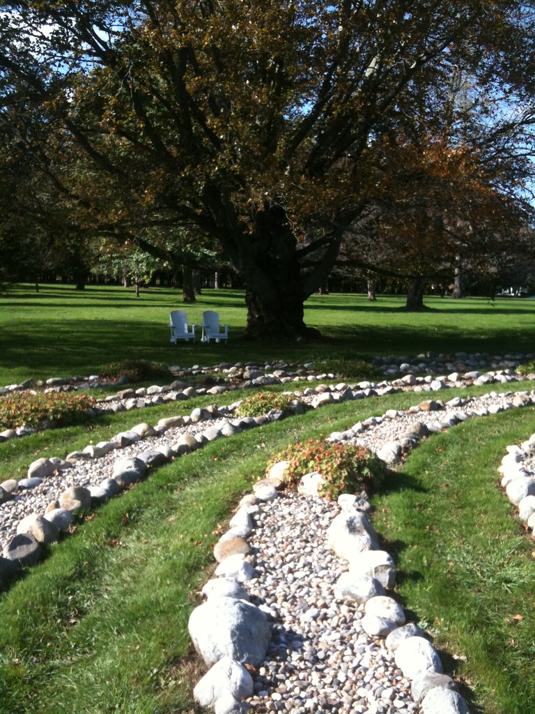 October Mountain Loop TrailHiking · ~23 min drivePhoto: Nabeel H, CC BY-SA 2.0 (via Flickr)
- Finerty TrailHiking · ~16 min drivePhoto: pedrik, CC BY 2.0 (via Flickr)
- Appalachian TrailHiking · ~16 min drive
- Esau’s Heel TrailHiking · ~9 min drive
- Appalachian TrailHiking · ~17 min drive
Best time to visit Gobble mountain trail
Best months: August–September. Best months have typical highs of 55–85 °F, lows of 30 °F or warmer (32 °F where the station doesn't record snow), at most one snowy day and no more than 12 wet days.
Jan
32° / 12°
15 wet
Feb
35° / 13°
12 wet
Mar
43° / 21°
14 wet
Apr
55° / 32°
14 wet
May
67° / 43°
15 wet
Jun
75° / 52°
13 wet
Jul
80° / 56°
13 wet
Aug
78° / 55°
11 wet
Sep
71° / 47°
11 wet
Oct
59° / 36°
13 wet
Nov
47° / 27°
13 wet
Dec
36° / 19°
14 wet
Typical high / low (°F) and days with rain or snow, 1991–2020. Measured at Worthington, MA, 7 mi away at 1,285 ft. This station doesn't record snowfall. Source: NOAA NCEI U.S. Climate Normals 1991–2020.
Route details
- Distance
- 1.3 mi round trip
- Climbing
- About 1,388 ft
- Summit
- 1,684 ft
- Difficulty
- Moderate
- Time
- About 1 hour
Questions about this route
How long is the Gobble mountain trail on Gobble Mountain?
About 1.3 mi round trip.
How much elevation gain is on the Gobble mountain trail?
About 1,388 ft of climbing round trip.
How hard is the Gobble mountain trail?
It is rated moderate.
How long does the Gobble mountain trail take?
About 1 hour round trip.
Map and trail data © OpenStreetMap contributors
