Accord Path
- 0.4 mi
- round trip
- 215 ft
- climb
- 302 ft
- high point
- Out and back
- route
- Apr, Jun–Oct
- best months
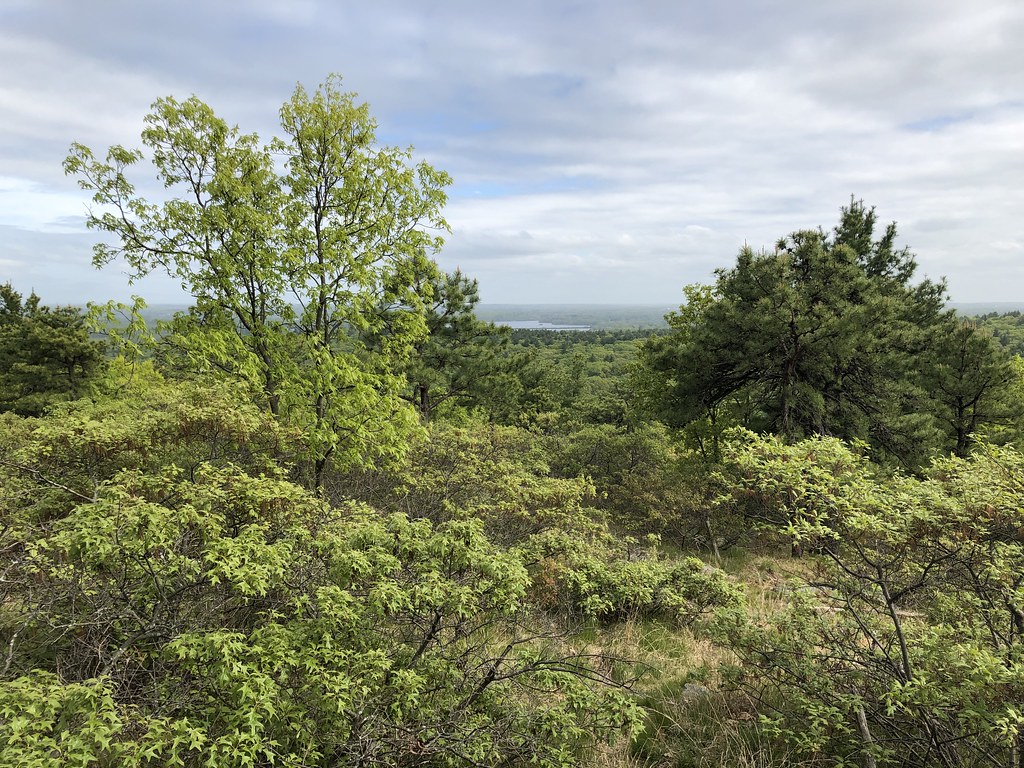
Accord Path is a short, easy hike in Massachusetts, about 1.3 miles from the town of Ponkapoag. The route is an out-and-back of roughly 0.78 miles, with a total elevation gain of about 45 feet. The climb is gentle, with the steepest stretch at about 0.22 miles in, where the grade reaches 10 percent. The path starts and ends near 300 feet in elevation, so it works well as a quick stop or a warm-up before heading to other trails in the area. For comfortable weather, late spring and early fall are the best bets. Typical averages from the nearby Blue Hill weather station show May highs around 67°F and September highs around 73°F, with September also seeing the fewest wet days of the year. The Skyline Trail lies just 0.1 mile away, and the Brookwood Trail is about half a mile off. Mountain bikers can ride the Coon Hollow Path, about 0.4 miles away, and climbers will find Lunch Wall roughly a mile from the path.
- Skyline TrailHiking0.1 mi
- Coon Hollow PathMountain biking0.4 mi
 Brookwood TrailHikingPhoto: niklas.tenhaef1, CC BY-SA 2.0 (via Flickr)0.5 mi
- Lunch WallRock climbing1 mi
- Mosquito WallsRock climbing1.3 mi
- Gypsy Moth WallRock climbing1.3 mi
- Upper WallRock climbing1.3 mi
- East Branch Neponset RiverCanoeing4.1 mi
Source: Roamze catalog (indexable pages within 10 miles, PostGIS distance)
 Coon Hollow PathHiking · Next doorPhoto: niklas.tenhaef1, CC BY-SA 2.0 (via Flickr)
 Walking City Trail Section 3Hiking · ~12 min drivePhoto: clembore, CC BY-SA 2.0 (via Flickr)
- Walking City Trail Section 1Hiking · ~8 min drive
- Brookwood TrailHiking · Next doorPhoto: niklas.tenhaef1, CC BY-SA 2.0 (via Flickr)
- Walking City Trail Section 2Hiking · ~12 min drive
- Boston HarborwalkHiking · ~21 min drive
 Savoy PathHiking · ~5 min drivePhoto: clembore, CC BY-SA 2.0 (via Flickr)
- Walking City Trail Section 4Hiking · ~20 min drive
- Red Dot LoopHiking · ~5 min drivePhoto: clembore, CC BY-SA 2.0 (via Flickr)
 Crags Foot PathHiking · ~6 min drivePhoto: Magicpiano, CC BY-SA 3.0 (via Wikimedia Commons)
Also worth it near here
Best time to visit Accord Path
Best months: April and June–October. Best months have typical highs of 55–85 °F, lows of 30 °F or warmer (32 °F where the station doesn't record snow), at most one snowy day and no more than 12 wet days.
Jan
35° / 18°
13 wet
Feb
37° / 19°
11 wet
Mar
44° / 27°
13 wet
Apr
56° / 38°
12 wet
May
67° / 48°
13 wet
Jun
75° / 58°
12 wet
Jul
82° / 64°
11 wet
Aug
80° / 63°
10 wet
Sep
73° / 56°
9 wet
Oct
61° / 44°
11 wet
Nov
50° / 34°
11 wet
Dec
40° / 25°
13 wet
Typical high / low (°F) and days with rain or snow, 1991–2020. Measured at Blue Hill Coop, MA, 0.3 mi away at 625 ft. This station doesn't record snowfall. Source: NOAA NCEI U.S. Climate Normals 1991–2020.


Map and trail data © OpenStreetMap contributors
