Walking City Trail Section 2
- 5.9 mi
- one way
- 446 ft
- climb
- 227 ft
- high point
- Point to point
- route
- Apr–Oct
- best months
Clear today
Weather is good · OpenWeather · checked 10 h ago
Walking City Trail Section 2 is a 5.9-mile point-to-point hike in Franklin Park, Massachusetts, on city-managed land. The trail rises from a low point of 28 feet to a high of 227 feet, with a total elevation gain of 446 feet and a steepest stretch of 19% at about 3.2 miles in. The hike is rated moderate. The route also has a total loss of 600 feet, so it is a little longer on the way back. Bikes are not allowed. For comfortable weather, aim for late spring or early fall. Typical averages from a nearby weather station in Jamaica Plain show highs around 69°F in May and 75°F in September. Summer runs warmer, with July highs near 85°F, and winter is cold, with January highs around 37°F. Section 3 of the Walking City Trail starts about a mile away. Nira Rock and Hemlock Hill in the Arnold Arboretum, both climbing areas, are within about a mile and a half, and Boston Boundless Trail Section 1 is about 2.6 miles off.
 Walking City Trail Section 3HikingPhoto: clembore, CC BY-SA 2.0 (via Flickr)1.2 mi
- Nira RockRock climbing1.4 mi
- Hemlock Hill in the Arnold ArboretumRock climbing1.5 mi
- Greater BostonRock climbing2.1 mi
- Boston Boundless Trail Section 1Hiking2.6 mi
- Walking City Trail Section 1Hiking2.7 mi
- Sherrin WoodsRock climbing3 mi
- Black Heritage TrailHiking3.8 mi
Source: Roamze catalog (indexable pages within 10 miles, PostGIS distance)
- Walking City Trail Section 3Hiking · ~2 min drivePhoto: clembore, CC BY-SA 2.0 (via Flickr)
 Crags Foot PathHiking · ~9 min drivePhoto: Magicpiano, CC BY-SA 3.0 (via Wikimedia Commons)
- Walking City Trail Section 1Hiking · ~5 min drive
 Western GreenwayHiking · ~16 min drivePhoto: ethan.long, CC BY-SA 2.0 (via Flickr)
 Quarries Foot PathHiking · ~10 min drivePhoto: Ktr101, CC BY-SA 2.0 (via Flickr)
- Boston HarborwalkHiking · ~10 min drive
 Rock Circuit TrailHiking · ~16 min drivePhoto: isforinsects, CC BY-SA 2.0 (via Flickr)
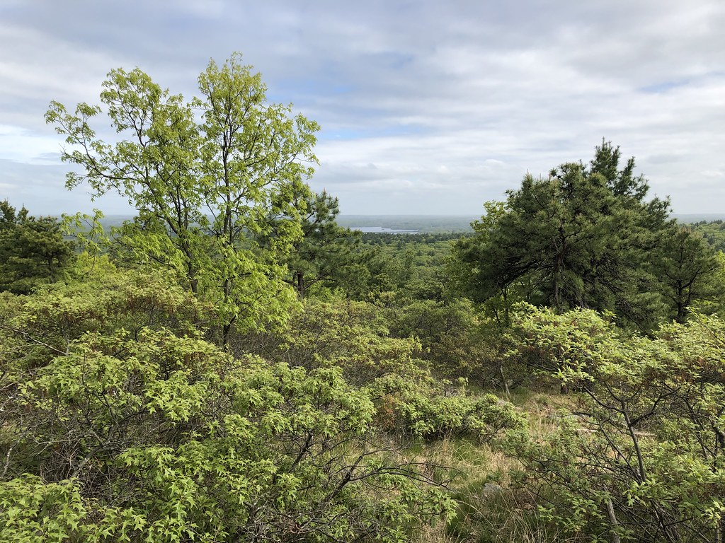 Red Dot LoopHiking · ~11 min drivePhoto: clembore, CC BY-SA 2.0 (via Flickr)
- Walking City Trail Section 4Hiking · ~9 min drive
 Coon Hollow PathHiking · ~11 min drivePhoto: niklas.tenhaef1, CC BY-SA 2.0 (via Flickr)
Best time to visit Walking City Trail Section 2
Best months: April–October. Best months have typical highs of 55–85 °F, lows of 30 °F or warmer (32 °F where the station doesn't record snow), at most one snowy day and no more than 12 wet days.
Jan
37° / 19°
Feb
40° / 21°
Mar
47° / 28°
Apr
59° / 38°
May
69° / 48°
Jun
79° / 58°
Jul
85° / 64°
Aug
83° / 63°
Sep
75° / 55°
Oct
64° / 43°
Nov
53° / 34°
Dec
42° / 26°
Typical high / low (°F) and days with rain or snow, 1991–2020. Measured at Jamaica Plain, MA, 1.5 mi away at 95 ft. This station doesn't record snowfall. Source: NOAA NCEI U.S. Climate Normals 1991–2020.

Map and trail data © OpenStreetMap contributors
